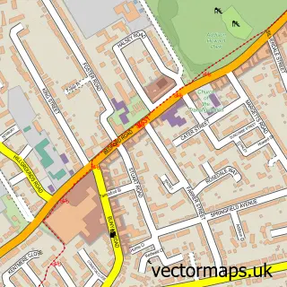
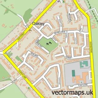
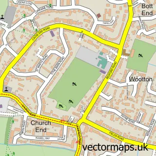
This Biddenham street map is a detailed vector street map covering a 750m x 750m area. Select a larger area to create and download your own vector street map of Biddenham.
The 750-metre map sample for Biddenham covers 517 mapped buildings and approximately 12.4 km of road detail, of which 31 named roads are named. The immediate area includes 1 school, 7 GP surgeries within 2 miles, 1 pub and 23 MOT stations within 2 miles. The wider area around Biddenham features 1 food and drink venue. To create a larger or custom map of Biddenham, the map builder lets you define your own coverage area and download editable SVG, PDF and PNG files.
Create a larger editable map of Biddenham
Choose any area you need and generate a high-quality vector map instantly. Perfect for print, planning, design, business and personal use.

This Biddenham street map in Bedfordshire is available as downloadable SVG, PDF and PNG map files, or as a printed map for planning, business, display, education, local information and design work. You can also create a larger custom map area using the map selector.
What this Biddenham map sample shows
Biddenham lies within Biddenham Cp parish, part of Bromham And Biddenham ward in the Bedford (B) local authority area. The postcode geography for this area includes the MK postcode area, the MK40 postcode district and the MK40 4 postcode sector. Residents fall under the Nhs Bedfordshire, Luton And Milton Keynes Integrated Care Board for NHS services.
Local features near Biddenham
Within 2 milesAmenities and services in and around Biddenham.
Administrative and postcode information for Biddenham
The local authority covering Biddenham is Bedford (B), within the county of Bedfordshire. The settlement lies within Bromham And Biddenham ward and Biddenham Cp civil parish. The MK40 postcode district and MK40 4 postcode sector serve the immediate area. NHS provision in the area is delivered through Bedfordshire Hospitals Nhs Foundation Trust.
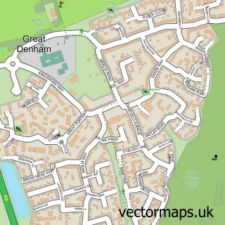
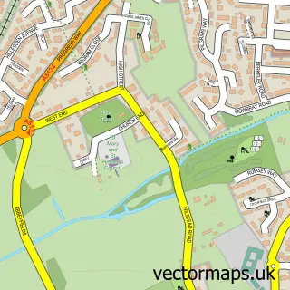
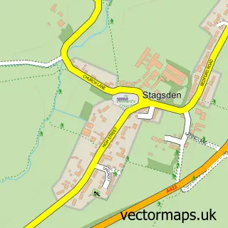
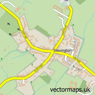
Nearby street map samples around Biddenham

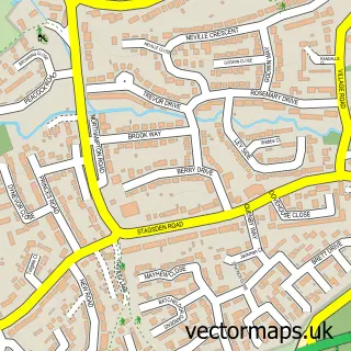
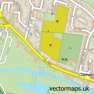
More street maps in Bedfordshire
750 metre map area coverage
Boundary, postcode and point of interest information for the 750m x 750m rectangle centred on this sample map.
Boundaries containing map centre
Constituency: North Bedfordshire Co Const
District: Bedford (B)
Icb: NHS Central East ICB
Parish: Biddenham CP
Police Force: bedfordshire
Postcode District: MK40
Postcode Sector: MK40 4
Ward: Biddenham Ward
Nearby boundaries intersecting sample
Constituency: Bedford Boro Const
Parish: Great Denham CP
Ward: Great Denham Ward, Queens Park Ward
Postcode coverage
POI category counts
Pet Groomer: 2
School: 2
Travel Agents: 2
Antique Store: 1
Auto Detailing: 1
Bridal Shop: 1
Business: 1
Charity Organization: 1
Community Center: 1
Contractor: 1
Sample points of interest
- Military Medals and Books
- TL Detailing
- Wedding Creations by Coleen
- Peter Groom
- National Youth Brass Band of Great Britain
- Biddenham Village Hall
- Heritage Drives
- Plan B
- Love to Dance
- ProFlite UK Ltd
- Albion Tree Surgeons
- Orange Glow Energy
Create a larger editable map of Biddenham
This sample shows only a 750 metre area. To create a larger map of Biddenham, use our map builder to choose your own coverage area, add titles and download editable SVG, PDF and PNG files.
Create a custom map of Biddenham