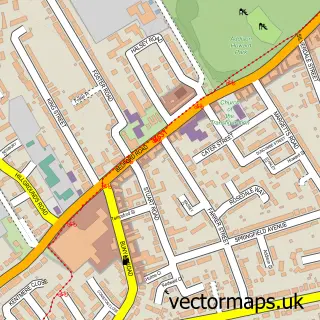
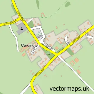
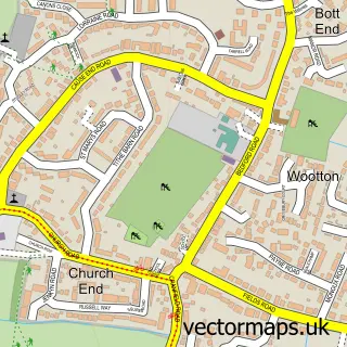
This Elstow street map is a detailed vector street map covering a 750m x 750m area. Select a larger area to create and download your own vector street map of Elstow.
The 750-metre map sample for Elstow covers 342 mapped buildings and approximately 14.9 km of road detail, of which 31 named roads are named. The immediate area includes 1 school, 6 GP surgeries within 2 miles, 1 pub and 35 MOT stations within 2 miles. The wider area around Elstow features 1 tourism point of interest and 3 food and drink venues. To create a larger or custom map of Elstow, the map builder lets you define your own coverage area and download editable SVG, PDF and PNG files.
Create a larger editable map of Elstow
Choose any area you need and generate a high-quality vector map instantly. Perfect for print, planning, design, business and personal use.

This Elstow street map in Bedfordshire is available as downloadable SVG, PDF and PNG map files, or as a printed map for planning, business, display, education, local information and design work. You can also create a larger custom map area using the map selector.
What this Elstow map sample shows
Elstow lies within Elstow Cp parish, part of Elstow And Stewartby ward in the Bedford (B) local authority area. The postcode geography for this area includes the MK postcode area, the MK42 postcode district and the MK42 9 postcode sector. Residents fall under the Nhs Bedfordshire, Luton And Milton Keynes Integrated Care Board for NHS services.
Local features near Elstow
Within 2 milesAmenities and services in and around Elstow.
Administrative and postcode information for Elstow
The local authority covering Elstow is Bedford (B), within the county of Bedfordshire. The settlement lies within Elstow And Stewartby ward and Elstow Cp civil parish. The MK42 postcode district and MK42 9 postcode sector serve the immediate area. NHS provision in the area is delivered through Bedfordshire Hospitals Nhs Foundation Trust.
Nearby street map samples around Elstow

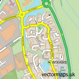
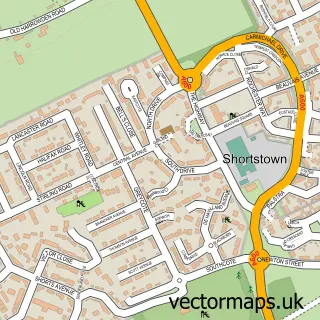
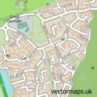
More street maps in Bedfordshire
750 metre map area coverage
Boundary, postcode and point of interest information for the 750m x 750m rectangle centred on this sample map.
Boundaries containing map centre
Constituency: Mid Bedfordshire Co Const
District: Bedford (B)
Icb: NHS Central East ICB
Parish: Elstow CP
Police Force: bedfordshire
Postcode District: MK42
Postcode Sector: MK42 9
Ward: Wixams & Wilstead Ward
Nearby boundaries intersecting sample
Constituency: Bedford Boro Const
Ward: Cauldwell Ward
Postcode coverage
POI category counts
Elementary School: 3
Church Cathedral: 2
Driving School: 2
Hair Salon: 2
Post Office: 2
Restaurant: 2
Accountant: 1
Advertising Agency: 1
Anglican Church: 1
Assisted Living Facility: 1
Sample points of interest
- Jameson Accounting Services
- Cosanostra Design Ltd
- The Abbey Church of St Mary & St Helena Elstow
- Bedfordshire Pilgrims Housing Association
- Kings & Queens Hair and Beauty
- The Swan
- Elstow Abbey
- Elstow Bunyan Christian Fellowship
- Premier Gostwick Road Convenience Store
- Post Office Travel Money
- Elms School of Motoring
- Jo Folkes Driver Training
Create a larger editable map of Elstow
This sample shows only a 750 metre area. To create a larger map of Elstow, use our map builder to choose your own coverage area, add titles and download editable SVG, PDF and PNG files.
Create a custom map of Elstow