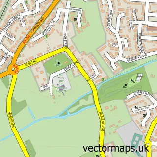
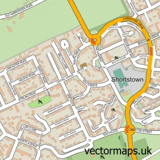
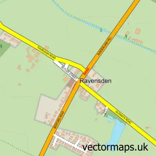
This Bedford street map is a detailed vector street map covering a 750m x 750m area. Select a larger area to create and download your own vector street map of Bedford.
The 750-metre map sample for Bedford covers 179 mapped buildings and approximately 22.6 km of road detail, of which 61 named roads are named. The immediate area includes 1 school, 9 GP surgeries within 2 miles, 19 pubs and 39 MOT stations within 2 miles. The wider area around Bedford features 10 tourism points of interest, 86 food and drink venues and 7 hotels. To create a larger or custom map of Bedford, the map builder lets you define your own coverage area and download editable SVG, PDF and PNG files.
Create a larger editable map of Bedford
Choose any area you need and generate a high-quality vector map instantly. Perfect for print, planning, design, business and personal use.

This Bedford street map in Bedfordshire is available as downloadable SVG, PDF and PNG map files, or as a printed map for planning, business, display, education, local information and design work. You can also create a larger custom map area using the map selector.
What this Bedford map sample shows
Bedford lies within Bedford (B) parish, part of Harpur ward in the Bedford (B) local authority area. The postcode geography for this area includes the MK postcode area, the MK40 postcode district and the MK40 2 postcode sector. Residents fall under the Nhs Bedfordshire, Luton And Milton Keynes Integrated Care Board for NHS services.
Local features near Bedford
Within 2 milesAmenities and services in and around Bedford.
Administrative and postcode information for Bedford
The local authority covering Bedford is Bedford (B), within the county of Bedfordshire. The settlement lies within Harpur ward and Bedford (B) civil parish. The MK40 postcode district and MK40 2 postcode sector serve the immediate area. NHS provision in the area is delivered through Bedfordshire Hospitals Nhs Foundation Trust.
Nearby street map samples around Bedford

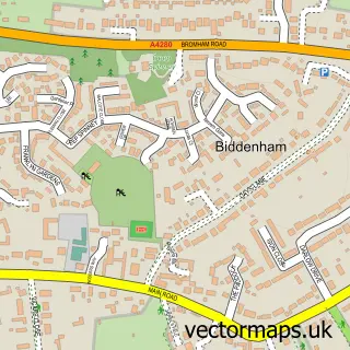
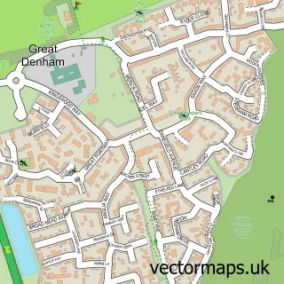
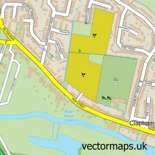
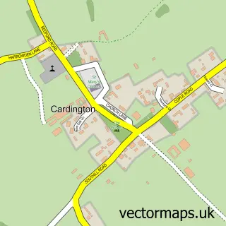
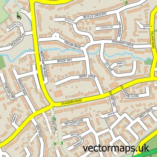
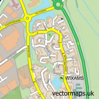
More street maps in Bedfordshire
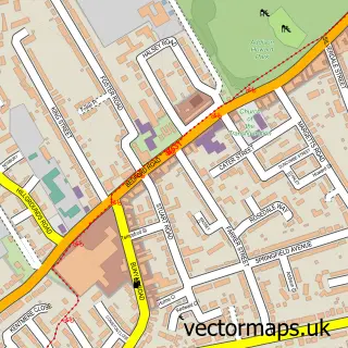
750 metre map area coverage
Boundary, postcode and point of interest information for the 750m x 750m rectangle centred on this sample map.
Boundaries containing map centre
Constituency: Bedford Boro Const
District: Bedford (B)
Icb: NHS Central East ICB
Police Force: bedfordshire
Postcode District: MK40
Postcode Sector: MK40 1
Ward: Castle & Newnham Ward
Nearby boundaries intersecting sample
Postcode District: MK42
Postcode Sector: MK40 2, MK40 3, MK42 0, MK42 9
Ward: Cauldwell Ward, De Parys Ward, Greyfriars Ward, Harpur Ward, Kingsbrook Ward
Postcode coverage
POI category counts
Hair Salon: 40
Beauty Salon: 36
Real Estate Agent: 30
Cafe: 29
Clothing Store: 23
Professional Services: 23
Restaurant: 23
Pub: 19
Charity Organization: 18
Fast Food Restaurant: 16
Sample points of interest
- Cowley Holmes Accountants
- Croucher Needham
- Digital Tax Matters
- Excel Accountants
- Keens Shay Keens Ltd.
- L and S Accounting Firm
- MHA MacIntyre Hudson
- Novakovic & Co
- Rawlinson Pryde
- Soaring Falcon Accountancy
- TaxAssist Accountants
- Thompson and Co
Create a larger editable map of Bedford
This sample shows only a 750 metre area. To create a larger map of Bedford, use our map builder to choose your own coverage area, add titles and download editable SVG, PDF and PNG files.
Create a custom map of Bedford