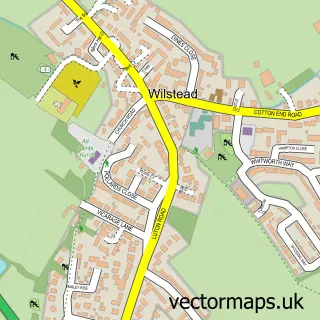
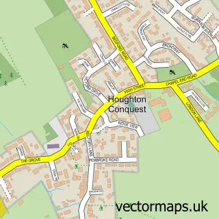
This Cotton End street map is a detailed vector street map covering a 750m x 750m area. Select a larger area to create and download your own vector street map of Cotton End.
The 750-metre map sample for Cotton End covers 189 mapped buildings and approximately 9.3 km of road detail, of which 12 named roads are named. The immediate area includes 1 school, 1 pub and 2 MOT stations within 2 miles. The wider area around Cotton End features 2 food and drink venues. To create a larger or custom map of Cotton End, the map builder lets you define your own coverage area and download editable SVG, PDF and PNG files.
Create a larger editable map of Cotton End
Choose any area you need and generate a high-quality vector map instantly. Perfect for print, planning, design, business and personal use.

This Cotton End street map in Bedfordshire is available as downloadable SVG, PDF and PNG map files, or as a printed map for planning, business, display, education, local information and design work. You can also create a larger custom map area using the map selector.
What this Cotton End map sample shows
Cotton End lies within Cotton End Cp parish, part of Eastcotts ward in the Bedford (B) local authority area. The postcode geography for this area includes the MK postcode area, the MK45 postcode district and the MK45 3 postcode sector. Residents fall under the Nhs Bedfordshire, Luton And Milton Keynes Integrated Care Board for NHS services.
Local features near Cotton End
Within 2 milesAmenities and services in and around Cotton End.
Administrative and postcode information for Cotton End
The local authority covering Cotton End is Bedford (B), within the county of Bedfordshire. The settlement lies within Eastcotts ward and Cotton End Cp civil parish. The MK45 postcode district and MK45 3 postcode sector serve the immediate area. NHS provision in the area is delivered through Bedfordshire Hospitals Nhs Foundation Trust.
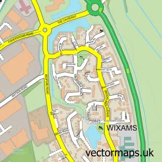
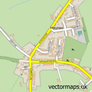
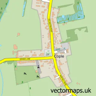
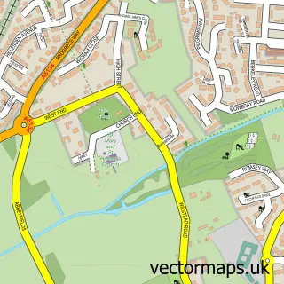
Nearby street map samples around Cotton End

More street maps in Bedfordshire
750 metre map area coverage
Boundary, postcode and point of interest information for the 750m x 750m rectangle centred on this sample map.
Boundaries containing map centre
Constituency: North Bedfordshire Co Const
District: Bedford (B)
Icb: NHS Central East ICB
Parish: Cotton End CP
Police Force: bedfordshire
Postcode District: MK45
Postcode Sector: MK45 3
Ward: Shortstown Ward
Nearby boundaries intersecting sample
No additional intersecting boundaries found.
Postcode coverage
POI category counts
Electrician: 3
Martial Arts Club: 2
Community Center: 1
Dog Walkers: 1
Fountain: 1
Furniture Assembly: 1
It Service And Computer Repair: 1
Pet Groomer: 1
Pet Store: 1
Plumbing: 1
Sample points of interest
- Cotton End Village Hall
- Daisy Mais - The Canine Club
- Mirza Electrical
- Pro-Connect Electrical Ltd
- Pro-connect Electrical & Security Solutions
- Cotton End
- Riches Upholstery Ltd
- Enterpriseict Limited
- Bedfordshire Sepoy Karate
- Sepoy Karate Wilstead & Cotton End
- Stacey's Dog Grooming and Home Boarding
- Rookery Lodge Complete Canine Care
Create a larger editable map of Cotton End
This sample shows only a 750 metre area. To create a larger map of Cotton End, use our map builder to choose your own coverage area, add titles and download editable SVG, PDF and PNG files.
Create a custom map of Cotton End