This Bromyard street map is a detailed vector street map covering a 750m x 750m area. Select a larger area to create and download your own vector street map of Bromyard.
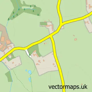
The 750-metre map sample for Bromyard covers 496 mapped buildings and approximately 57.4 km of road detail, of which 46 named roads are named. The immediate area includes 1 GP surgery, 8 pubs and 2 MOT stations, with 6 within 2 miles. The wider area around Bromyard features 2 tourism points of interest, 12 food and drink venues and 2 hotels. To create a larger or custom map of Bromyard, the map builder lets you define your own coverage area and download editable SVG, PDF and PNG files.
Create a larger editable map of Bromyard
Choose any area you need and generate a high-quality vector map instantly. Perfect for print, planning, design, business and personal use.

This Bromyard street map in Herefordshire is available as downloadable SVG, PDF and PNG map files, or as a printed map for planning, business, display, education, local information and design work. You can also create a larger custom map area using the map selector.
What this Bromyard map sample shows
Bromyard lies within Bromyard And Winslow Cp parish, part of Bromyard Bringsty ward in the County Of Herefordshire local authority area. The postcode geography for this area includes the HR postcode area, the HR7 postcode district and the HR7 4 postcode sector. Residents fall under the Nhs Herefordshire And Worcestershire Integrated Care Board for NHS services.
Local features near Bromyard
Within 2 milesAmenities and services in and around Bromyard.
Administrative and postcode information for Bromyard
Bromyard lies within Bromyard And Winslow Cp parish, part of Bromyard Bringsty ward in the County Of Herefordshire local authority area. The postcode geography for this area includes the HR postcode area, the HR7 postcode district and the HR7 4 postcode sector. Residents fall under the Nhs Herefordshire And Worcestershire Integrated Care Board for NHS services.
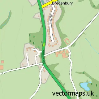
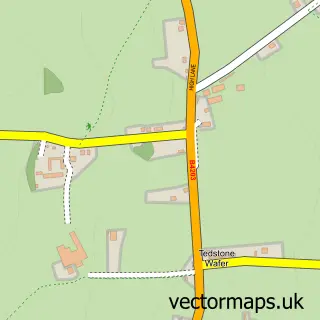
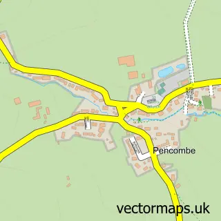
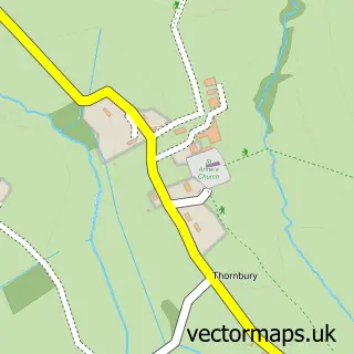
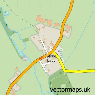
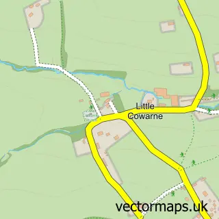
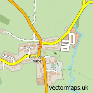
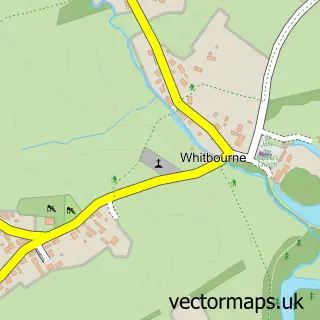
Nearby street map samples around Bromyard

More street maps in Herefordshire
750 metre map area coverage
Boundary, postcode and point of interest information for the 750m x 750m rectangle centred on this sample map.
Boundaries containing map centre
Constituency: North Herefordshire Co Const
District: County of Herefordshire
Icb: NHS Herefordshire and Worcestershire ICB
Parish: Bromyard and Winslow CP
Police Force: west mercia
Postcode District: HR7
Postcode Sector: HR7 4
Ward: Bromyard West Ward
Nearby boundaries intersecting sample
Ward: Bromyard Bringsty Ward
Postcode coverage
POI category counts
Pub: 8
Beauty Salon: 4
Hair Salon: 4
Butcher Shop: 3
Indian Restaurant: 3
Online Shop: 3
Professional Services: 3
Anglican Church: 2
Art Gallery: 2
Assisted Living Facility: 2
Sample points of interest
- Andrew Winterburn Ltd
- Tack Farms Ltd
- Bromyard: St Peter
- St Peters Church
- Bromyard Boarding Kennels
- Bromyard Past & Present
- Dots Gallery
- Dots Gallery
- Froome Bank Residential Home
- Highwell House Residential & Nursing Home
- The Cooperative Food (BF) Bromyard
- The Cooperative Food (BF) Bromyard - High Street
Create a larger editable map of Bromyard
This sample shows only a 750 metre area. To create a larger map of Bromyard, use our map builder to choose your own coverage area, add titles and download editable SVG, PDF and PNG files.
Create a custom map of Bromyard