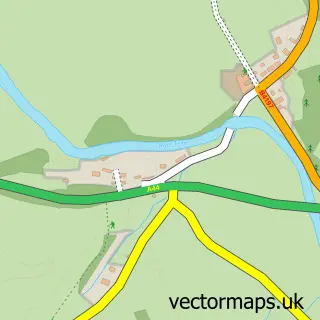
This Whitbourne street map is a detailed vector street map covering a 750m x 750m area. Select a larger area to create and download your own vector street map of Whitbourne.
The 750-metre map sample for Whitbourne covers 86 mapped buildings and approximately 11.5 km of road detail, of which 1 named road are named. The immediate area includes 1 GP surgery within 2 miles. To create a larger or custom map of Whitbourne, the map builder lets you define your own coverage area and download editable SVG, PDF and PNG files.
Create a larger editable map of Whitbourne
Choose any area you need and generate a high-quality vector map instantly. Perfect for print, planning, design, business and personal use.

This Whitbourne street map in Herefordshire is available as downloadable SVG, PDF and PNG map files, or as a printed map for planning, business, display, education, local information and design work. You can also create a larger custom map area using the map selector.
What this Whitbourne map sample shows
Whitbourne lies within Whitbourne Cp parish, part of Bromyard Bringsty ward in the County Of Herefordshire local authority area. The postcode geography for this area includes the WR postcode area, the WR6 postcode district and the WR6 5 postcode sector. Residents fall under the Nhs Herefordshire And Worcestershire Integrated Care Board for NHS services.
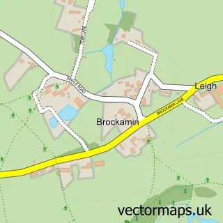
Local features near Whitbourne
Within 2 milesAmenities and services in and around Whitbourne.
Administrative and postcode information for Whitbourne
Whitbourne lies within Whitbourne Cp parish, part of Bromyard Bringsty ward in the County Of Herefordshire local authority area. The postcode geography for this area includes the WR postcode area, the WR6 postcode district and the WR6 5 postcode sector. Residents fall under the Nhs Herefordshire And Worcestershire Integrated Care Board for NHS services.
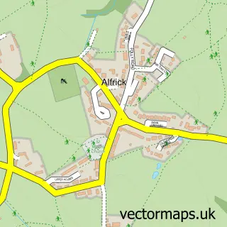
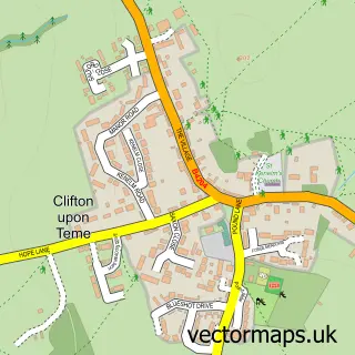
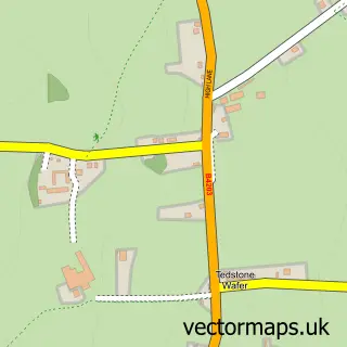
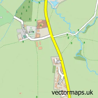
Nearby street map samples around Whitbourne

More street maps in Herefordshire
750 metre map area coverage
Boundary, postcode and point of interest information for the 750m x 750m rectangle centred on this sample map.
Boundaries containing map centre
Constituency: North Herefordshire Co Const
District: County of Herefordshire
Icb: NHS Herefordshire and Worcestershire ICB
Parish: Whitbourne CP
Police Force: west mercia
Postcode District: WR6
Postcode Sector: WR6 5
Ward: Bromyard Bringsty Ward
Nearby boundaries intersecting sample
Constituency: West Worcestershire Co Const
County: Worcestershire County
District: Malvern Hills District
Parish: Knightwick CP
Ward: Martley Ward
Postcode coverage
POI category counts
Anglican Church: 1
British Restaurant: 1
Elementary School: 1
Sports And Recreation Venue: 1
Telecommunications: 1
Sample points of interest
- Whitbourne: St John the Baptist
- Crumplebury
- WISH - Whitbourne C of E Independent School & Hub
- Green Tree Adventures
- Croft Video Productions
Create a larger editable map of Whitbourne
This sample shows only a 750 metre area. To create a larger map of Whitbourne, use our map builder to choose your own coverage area, add titles and download editable SVG, PDF and PNG files.
Create a custom map of Whitbourne