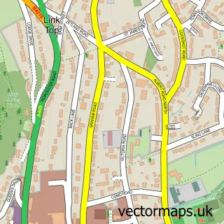
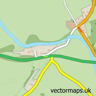
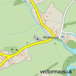
This Suckley street map is a detailed vector street map covering a 750m x 750m area. Select a larger area to create and download your own vector street map of Suckley.
The 750-metre map sample for Suckley covers 54 mapped buildings and approximately 11.5 km of road detail, of which 3 named roads are named. The immediate area includes 1 school. The wider area around Suckley features 1 food and drink venue. To create a larger or custom map of Suckley, the map builder lets you define your own coverage area and download editable SVG, PDF and PNG files.
Create a larger editable map of Suckley
Choose any area you need and generate a high-quality vector map instantly. Perfect for print, planning, design, business and personal use.

This Suckley street map in Worcestershire is available as downloadable SVG, PDF and PNG map files, or as a printed map for planning, business, display, education, local information and design work. You can also create a larger custom map area using the map selector.
What this Suckley map sample shows
Suckley lies within Suckley Cp parish, part of Alfrick And Leigh ward in the Malvern Hills District local authority area. The postcode geography for this area includes the WR postcode area, the WR6 postcode district and the WR6 5 postcode sector. Residents fall under the Nhs Herefordshire And Worcestershire Integrated Care Board for NHS services.
Local features near Suckley
Within 2 milesAmenities and services in and around Suckley.
Administrative and postcode information for Suckley
The local authority covering Suckley is Malvern Hills District, within the county of Worcestershire. The settlement lies within Alfrick And Leigh ward and Suckley Cp civil parish. The WR6 postcode district and WR6 5 postcode sector serve the immediate area. NHS provision in the area is delivered through Worcestershire Acute Hospitals Nhs Trust.
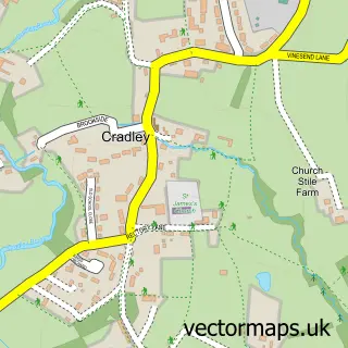
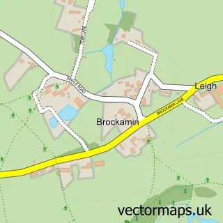
Nearby street map samples around Suckley

More street maps in Worcestershire
750 metre map area coverage
Boundary, postcode and point of interest information for the 750m x 750m rectangle centred on this sample map.
Boundaries containing map centre
Constituency: West Worcestershire Co Const
County: Worcestershire County
District: Malvern Hills District
Icb: NHS Herefordshire and Worcestershire ICB
Parish: Suckley CP
Police Force: west mercia
Postcode District: WR6
Postcode Sector: WR6 5
Ward: Alfrick, Leigh & Rushwick Ward
Nearby boundaries intersecting sample
No additional intersecting boundaries found.
Postcode coverage
POI category counts
Antique Store: 1
Beauty And Spa: 1
Cafe: 1
Church Cathedral: 1
Dog Trainer: 1
Elementary School: 1
Furniture Store: 1
Hair Salon: 1
Landscaping: 1
Retail: 1
Sample points of interest
- Holloways Garden Antiques
- Carries- Wellbeing Space
- The Glasshouse at Holloways
- Suckley Church
- Lou's Dog Support
- Suckley School
- Holloways
- Hair & Beauty at Holloways
- Avery Landscapes Ltd
- Sandry Studio
- Suckley Playing Fields
- Bear Left Studio
Create a larger editable map of Suckley
This sample shows only a 750 metre area. To create a larger map of Suckley, use our map builder to choose your own coverage area, add titles and download editable SVG, PDF and PNG files.
Create a custom map of Suckley