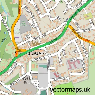
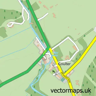
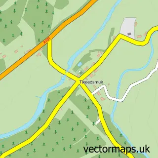
This Broughton street map is a detailed vector street map covering a 750m x 750m area. Select a larger area to create and download your own vector street map of Broughton.
The 750-metre map sample for Broughton covers 96 mapped buildings and approximately 13.3 km of road detail, of which 2 named roads are named. The immediate area includes 1 pub and 1 MOT station. The wider area around Broughton features 1 food and drink venue. To create a larger or custom map of Broughton, the map builder lets you define your own coverage area and download editable SVG, PDF and PNG files.
Create a larger editable map of Broughton
Choose any area you need and generate a high-quality vector map instantly. Perfect for print, planning, design, business and personal use.

This Broughton street map in Tweeddale is available as downloadable SVG, PDF and PNG map files, or as a printed map for planning, business, display, education, local information and design work. You can also create a larger custom map area using the map selector.
What this Broughton map sample shows
Broughton lies within Scottish Borders parish, part of Tweeddale West ward in the Scottish Borders local authority area. The postcode geography for this area includes the ML postcode area, the ML12 postcode district and the ML12 6 postcode sector. Residents fall under the Borders for NHS services.
Local features near Broughton
Within 2 milesAmenities and services in and around Broughton.
Administrative and postcode information for Broughton
Broughton lies within Scottish Borders parish, part of Tweeddale West ward in the Scottish Borders local authority area. The postcode geography for this area includes the ML postcode area, the ML12 postcode district and the ML12 6 postcode sector. Residents fall under the Borders for NHS services.
Nearby street map samples around Broughton

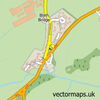
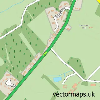
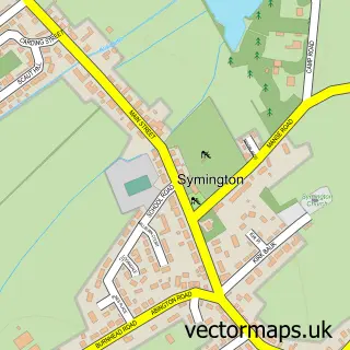
More street maps in Tweeddale
750 metre map area coverage
Boundary, postcode and point of interest information for the 750m x 750m rectangle centred on this sample map.
Boundaries containing map centre
Constituency: Dumfriesshire, Clydesdale and Tweeddale Co Const
District: Scottish Borders
Icb: Borders
Postcode District: ML12
Postcode Sector: ML12 6
Ward: Tweeddale West Ward
Nearby boundaries intersecting sample
No additional intersecting boundaries found.
Postcode coverage
POI category counts
Brewery: 1
Business Consulting: 1
Business Management Services: 1
Engineering Services: 1
Preschool: 1
Pub: 1
Shopping: 1
Sports Club And League: 1
Sample points of interest
- Broughton Ales
- Broughton Management Services
- Jamieson & Gordon Ltd.
- Nick Shapowal Consultancy
- Bananas Preschool Playgroup
- Laurel Bank Tea Room
- Broughton Village Store
- Broughton Tennis Club - Scottish Borders
Create a larger editable map of Broughton
This sample shows only a 750 metre area. To create a larger map of Broughton, use our map builder to choose your own coverage area, add titles and download editable SVG, PDF and PNG files.
Create a custom map of Broughton