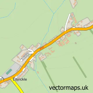
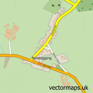
This Biggar street map is a detailed vector street map covering a 750m x 750m area. Select a larger area to create and download your own vector street map of Biggar.
The 750-metre map sample for Biggar covers 453 mapped buildings and approximately 17.8 km of road detail, of which 41 named roads are named. The immediate area includes 1 GP surgery, 3 pubs and 1 MOT station within 2 miles. The wider area around Biggar features 4 tourism points of interest, 8 food and drink venues and 3 hotels. To create a larger or custom map of Biggar, the map builder lets you define your own coverage area and download editable SVG, PDF and PNG files.
Create a larger editable map of Biggar
Choose any area you need and generate a high-quality vector map instantly. Perfect for print, planning, design, business and personal use.

This Biggar street map in Lanarkshire is available as downloadable SVG, PDF and PNG map files, or as a printed map for planning, business, display, education, local information and design work. You can also create a larger custom map area using the map selector.
What this Biggar map sample shows
Biggar lies within South Lanarkshire parish, part of Clydesdale East ward in the South Lanarkshire local authority area. The postcode geography for this area includes the ML postcode area, the ML12 postcode district and the ML12 6 postcode sector. Residents fall under the Lanarkshire for NHS services.
Local features near Biggar
Within 2 milesAmenities and services in and around Biggar.
Administrative and postcode information for Biggar
Biggar lies within South Lanarkshire parish, part of Clydesdale East ward in the South Lanarkshire local authority area. The postcode geography for this area includes the ML postcode area, the ML12 postcode district and the ML12 6 postcode sector. Residents fall under the Lanarkshire for NHS services.
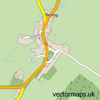
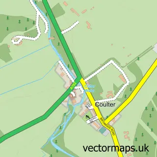
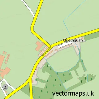
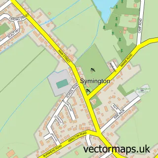
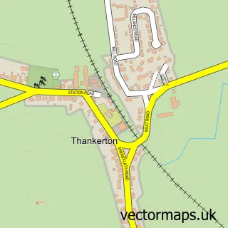
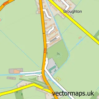
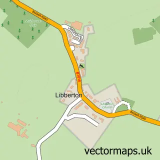
Nearby street map samples around Biggar

More street maps in Lanarkshire
750 metre map area coverage
Boundary, postcode and point of interest information for the 750m x 750m rectangle centred on this sample map.
Boundaries containing map centre
Constituency: Dumfriesshire, Clydesdale and Tweeddale Co Const
District: South Lanarkshire
Icb: Lanarkshire
Postcode District: ML12
Postcode Sector: ML12 6
Ward: Clydesdale East Ward
Nearby boundaries intersecting sample
No additional intersecting boundaries found.
Postcode coverage
POI category counts
Convenience Store: 6
Hair Salon: 6
Beauty Salon: 5
Flowers And Gifts Shop: 5
Gift Shop: 5
Professional Services: 4
Real Estate Agent: 4
Web Designer: 4
Bank Credit Union: 3
Bed And Breakfast: 3
Sample points of interest
- Beeswing - home from home
- Ear MoldZ at CCM Laboratories
- Annavale & Biggarburn Shetland Sheep
- chest,heart & stroke
- The Biggar Gallery
- Bizzy Berry Pottery & Crafts
- Enchanted Crafts
- Big B's Automotive Care Specialists
- Bank of Scotland Biggar
- RBS Biggar
- The Royal Bank of Scotland
- Basement Barbers
Create a larger editable map of Biggar
This sample shows only a 750 metre area. To create a larger map of Biggar, use our map builder to choose your own coverage area, add titles and download editable SVG, PDF and PNG files.
Create a custom map of Biggar