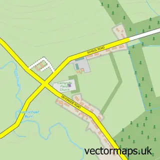
This Thankerton street map is a detailed vector street map covering a 750m x 750m area. Select a larger area to create and download your own vector street map of Thankerton.
The 750-metre map sample for Thankerton covers 152 mapped buildings and approximately 7.4 km of road detail, of which 7 named roads are named. The immediate area includes 1 pub and 1 MOT station, with 3 within 2 miles. The wider area around Thankerton features 1 tourism point of interest and 1 food and drink venue. To create a larger or custom map of Thankerton, the map builder lets you define your own coverage area and download editable SVG, PDF and PNG files.
Create a larger editable map of Thankerton
Choose any area you need and generate a high-quality vector map instantly. Perfect for print, planning, design, business and personal use.

This Thankerton street map in Lanarkshire is available as downloadable SVG, PDF and PNG map files, or as a printed map for planning, business, display, education, local information and design work. You can also create a larger custom map area using the map selector.
What this Thankerton map sample shows
Thankerton lies within South Lanarkshire parish, part of Clydesdale East ward in the South Lanarkshire local authority area. The postcode geography for this area includes the ML postcode area, the ML12 postcode district and the ML12 6 postcode sector. Residents fall under the Lanarkshire for NHS services.
Local features near Thankerton
Within 2 milesAmenities and services in and around Thankerton.
Administrative and postcode information for Thankerton
Thankerton lies within South Lanarkshire parish, part of Clydesdale East ward in the South Lanarkshire local authority area. The postcode geography for this area includes the ML postcode area, the ML12 postcode district and the ML12 6 postcode sector. Residents fall under the Lanarkshire for NHS services.
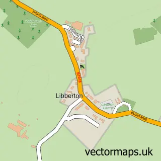
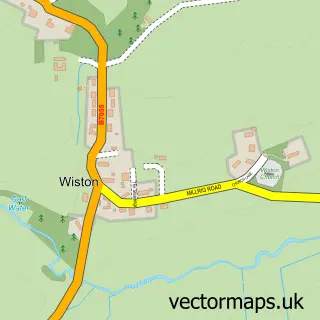
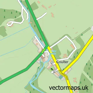
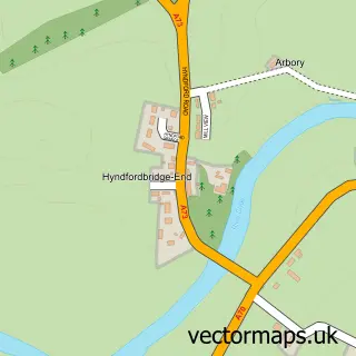
Nearby street map samples around Thankerton


More street maps in Lanarkshire
750 metre map area coverage
Boundary, postcode and point of interest information for the 750m x 750m rectangle centred on this sample map.
Boundaries containing map centre
Constituency: Dumfriesshire, Clydesdale and Tweeddale Co Const
District: South Lanarkshire
Icb: Lanarkshire
Postcode District: ML12
Postcode Sector: ML12 6
Ward: Clydesdale East Ward
Nearby boundaries intersecting sample
No additional intersecting boundaries found.
Postcode coverage
POI category counts
Automotive Repair: 3
Bar: 2
Art Gallery: 1
Auto Body Shop: 1
Automotive: 1
Building Supply Store: 1
Construction Services: 1
Driving School: 1
It Service And Computer Repair: 1
Park: 1
Sample points of interest
- Thankerton Art Group
- White's Motor Engineers
- Haynes Coachworks
- Haynes Coachworks
- Haynes Vehicle Services
- Haynes Vehicle Services
- Thanky Pub
- Village Inn
- GM Fabrication
- Ian S Anderson
- Malcolm Shuttleworth
- Computer Repairs & Web Development
Create a larger editable map of Thankerton
This sample shows only a 750 metre area. To create a larger map of Thankerton, use our map builder to choose your own coverage area, add titles and download editable SVG, PDF and PNG files.
Create a custom map of Thankerton