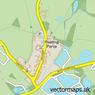
This Bruntingthorpe street map is a detailed vector street map covering a 750m x 750m area. Select a larger area to create and download your own vector street map of Bruntingthorpe.
The 750-metre map sample for Bruntingthorpe covers 114 mapped buildings and approximately 14.2 km of road detail, of which 5 named roads are named. The immediate area includes 3 pubs and 1 MOT station, with 2 within 2 miles. The wider area around Bruntingthorpe features 3 food and drink venues. To create a larger or custom map of Bruntingthorpe, the map builder lets you define your own coverage area and download editable SVG, PDF and PNG files.
Create a larger editable map of Bruntingthorpe
Choose any area you need and generate a high-quality vector map instantly. Perfect for print, planning, design, business and personal use.

This Bruntingthorpe street map in Leicestershire is available as downloadable SVG, PDF and PNG map files, or as a printed map for planning, business, display, education, local information and design work. You can also create a larger custom map area using the map selector.
What this Bruntingthorpe map sample shows
Bruntingthorpe lies within Bruntingthorpe Cp parish, part of Dunton ward in the Harborough District local authority area. The postcode geography for this area includes the LE postcode area, the LE17 postcode district and the LE17 5 postcode sector. Residents fall under the Nhs Leicester, Leicestershire And Rutland Integrated Care Board for NHS services.
Local features near Bruntingthorpe
Within 2 milesAmenities and services in and around Bruntingthorpe.
Administrative and postcode information for Bruntingthorpe
The local authority covering Bruntingthorpe is Harborough District, within the county of Leicestershire. The settlement lies within Dunton ward and Bruntingthorpe Cp civil parish. The LE17 postcode district and LE17 5 postcode sector serve the immediate area. NHS provision in the area is delivered through University Hospitals Of Leicester Nhs Trust.
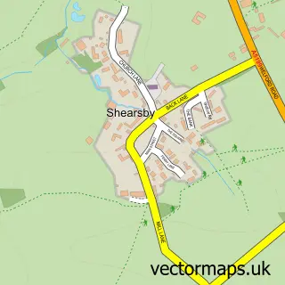
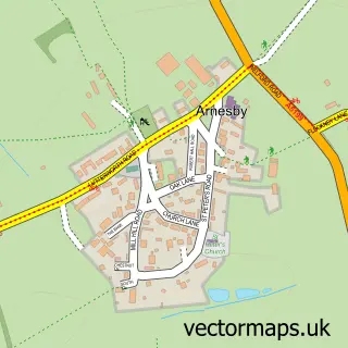
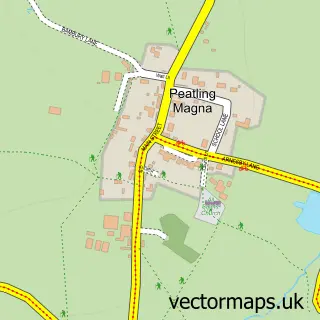
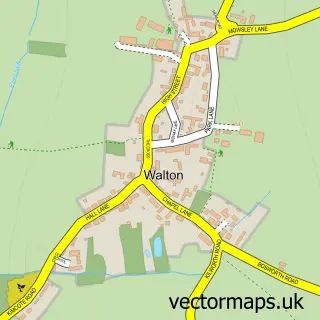
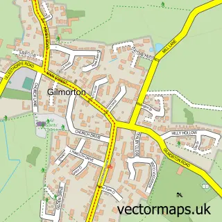
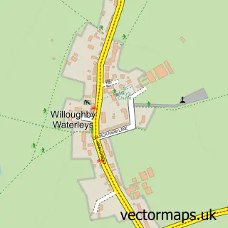
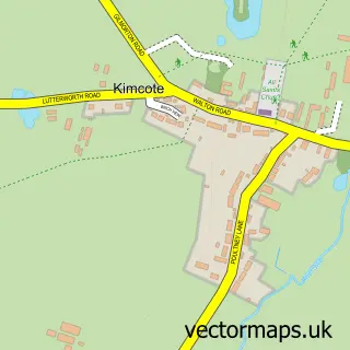
Nearby street map samples around Bruntingthorpe


More street maps in Leicestershire
750 metre map area coverage
Boundary, postcode and point of interest information for the 750m x 750m rectangle centred on this sample map.
Boundaries containing map centre
Constituency: South Leicestershire Co Const
County: Leicestershire County
District: Harborough District
Icb: NHS Leicester Leicestershire and Rutland ICB
Parish: Bruntingthorpe CP
Police Force: leicestershire
Postcode District: LE17
Postcode Sector: LE17 5
Ward: Dunton Ward
Nearby boundaries intersecting sample
No additional intersecting boundaries found.
Postcode coverage
POI category counts
Pub: 3
Anglican Church: 2
Automotive Parts And Accessories: 1
Automotive Repair: 1
Dog Trainer: 1
Driving School: 1
Educational Services: 1
Gastropub: 1
Marketing Consultant: 1
Performing Arts: 1
Sample points of interest
- Bruntingthorpe Churchyard
- Bruntingthorpe: St Mary
- SMT GB Approved Used Equipment and Parts
- Jetstream Motorsport
- Mirengo Dog Training
- Streetwise
- Street Wise Driving School
- The Joiners Arms
- Barry Harding Consultancy Ltd.
- Bruntingthorpe Events
- Chris Winter Photography
- Plough
Create a larger editable map of Bruntingthorpe
This sample shows only a 750 metre area. To create a larger map of Bruntingthorpe, use our map builder to choose your own coverage area, add titles and download editable SVG, PDF and PNG files.
Create a custom map of Bruntingthorpe