This Gilmorton street map is a detailed vector street map covering a 750m x 750m area. Select a larger area to create and download your own vector street map of Gilmorton.
The 750-metre map sample for Gilmorton covers 408 mapped buildings and approximately 29.6 km of road detail, of which 21 named roads are named. The immediate area includes 1 school, 2 pubs and 1 MOT station within 2 miles. The wider area around Gilmorton features 3 food and drink venues and 1 campsite within 2 miles. To create a larger or custom map of Gilmorton, the map builder lets you define your own coverage area and download editable SVG, PDF and PNG files.
Create a larger editable map of Gilmorton
Choose any area you need and generate a high-quality vector map instantly. Perfect for print, planning, design, business and personal use.

This Gilmorton street map in Leicestershire is available as downloadable SVG, PDF and PNG map files, or as a printed map for planning, business, display, education, local information and design work. You can also create a larger custom map area using the map selector.
What this Gilmorton map sample shows
Gilmorton lies within Gilmorton Cp parish, part of Misterton ward in the Harborough District local authority area. The postcode geography for this area includes the LE postcode area, the LE17 postcode district and the LE17 5 postcode sector. Residents fall under the Nhs Leicester, Leicestershire And Rutland Integrated Care Board for NHS services.
Local features near Gilmorton
Within 2 milesAmenities and services in and around Gilmorton.
Administrative and postcode information for Gilmorton
Gilmorton lies within Gilmorton Cp parish, part of Misterton ward in the Harborough District local authority area. The postcode geography for this area includes the LE postcode area, the LE17 postcode district and the LE17 5 postcode sector. Residents fall under the Nhs Leicester, Leicestershire And Rutland Integrated Care Board for NHS services.
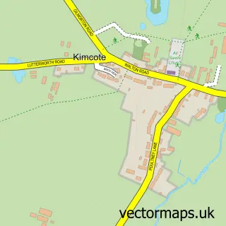
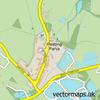
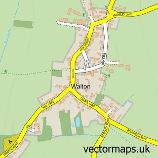
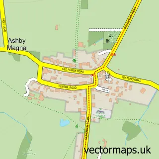
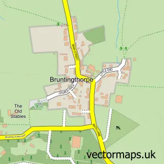
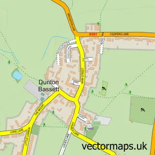
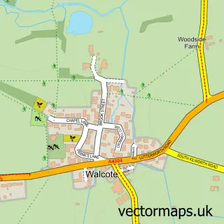
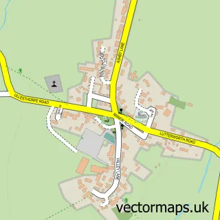
Nearby street map samples around Gilmorton


More street maps in Leicestershire
750 metre map area coverage
Boundary, postcode and point of interest information for the 750m x 750m rectangle centred on this sample map.
Boundaries containing map centre
Constituency: South Leicestershire Co Const
County: Leicestershire County
District: Harborough District
Icb: NHS Leicester Leicestershire and Rutland ICB
Parish: Gilmorton CP
Police Force: leicestershire
Postcode District: LE17
Postcode Sector: LE17 5
Ward: Misterton Ward
Nearby boundaries intersecting sample
No additional intersecting boundaries found.
Postcode coverage
POI category counts
Church Cathedral: 2
Convenience Store: 2
Elementary School: 2
Post Office: 2
Pub: 2
Advertising Agency: 1
Anglican Church: 1
Auto Loan Provider: 1
Barber: 1
Beer Bar: 1
Sample points of interest
- Ad-Venture Services Printing and Promotions
- All Saints', Gilmorton
- Gransha Mortgages
- Dens Barbers
- The Red Lion
- Barwood Homes - Gilden Green
- Mortons Bistro
- David Graham
- I love tea parties
- All Saints Church
- Gilmorton Parish Church
- Acorn Construction
Create a larger editable map of Gilmorton
This sample shows only a 750 metre area. To create a larger map of Gilmorton, use our map builder to choose your own coverage area, add titles and download editable SVG, PDF and PNG files.
Create a custom map of Gilmorton