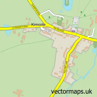
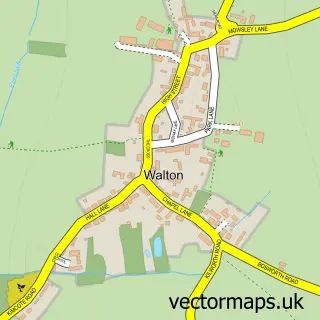
This Walcote street map is a detailed vector street map covering a 750m x 750m area. Select a larger area to create and download your own vector street map of Walcote.
The 750-metre map sample for Walcote covers 126 mapped buildings and approximately 23.1 km of road detail, of which 10 named roads are named. The immediate area includes 2 GP surgeries within 2 miles, 1 pub and 5 MOT stations within 2 miles. The wider area around Walcote features 2 food and drink venues. To create a larger or custom map of Walcote, the map builder lets you define your own coverage area and download editable SVG, PDF and PNG files.
Create a larger editable map of Walcote
Choose any area you need and generate a high-quality vector map instantly. Perfect for print, planning, design, business and personal use.

This Walcote street map in Leicestershire is available as downloadable SVG, PDF and PNG map files, or as a printed map for planning, business, display, education, local information and design work. You can also create a larger custom map area using the map selector.
What this Walcote map sample shows
Walcote lies within Misterton With Walcote Cp parish, part of Misterton ward in the Harborough District local authority area. The postcode geography for this area includes the LE postcode area, the LE17 postcode district and the LE17 4 postcode sector. Residents fall under the Nhs Leicester, Leicestershire And Rutland Integrated Care Board for NHS services.
Local features near Walcote
Within 2 milesAmenities and services in and around Walcote.
Administrative and postcode information for Walcote
Walcote lies within Misterton With Walcote Cp parish, part of Misterton ward in the Harborough District local authority area. The postcode geography for this area includes the LE postcode area, the LE17 postcode district and the LE17 4 postcode sector. Residents fall under the Nhs Leicester, Leicestershire And Rutland Integrated Care Board for NHS services.
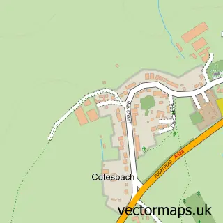
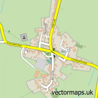
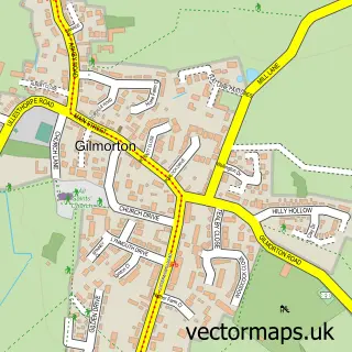
Nearby street map samples around Walcote


More street maps in Leicestershire
750 metre map area coverage
Boundary, postcode and point of interest information for the 750m x 750m rectangle centred on this sample map.
Boundaries containing map centre
Constituency: South Leicestershire Co Const
County: Leicestershire County
District: Harborough District
Icb: NHS Leicester Leicestershire and Rutland ICB
Parish: Misterton with Walcote CP
Police Force: leicestershire
Postcode District: LE17
Postcode Sector: LE17 4
Ward: Misterton Ward
Nearby boundaries intersecting sample
No additional intersecting boundaries found.
Postcode coverage
POI category counts
Gas Station: 4
Bed And Breakfast: 2
Convenience Store: 2
Electrician: 2
Audiologist: 1
Auto Electrical Repair: 1
Beverage Store: 1
Dog Trainer: 1
Food Delivery Service: 1
Furniture Wholesalers: 1
Sample points of interest
- Alto Hearing
- A A R Electrical
- High House
- Little Lodge
- Evri ParcelShop
- Londis
- Morrisons Daily - Walcote
- Enigma Canine Trusted Instructors
- AAR Electrical
- Leicestershire Electrical
- Evri ParcelShop
- All Made Up
Create a larger editable map of Walcote
This sample shows only a 750 metre area. To create a larger map of Walcote, use our map builder to choose your own coverage area, add titles and download editable SVG, PDF and PNG files.
Create a custom map of Walcote