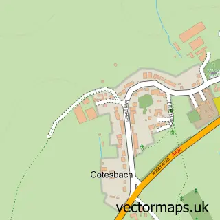
This Shawell street map is a detailed vector street map covering a 750m x 750m area. Select a larger area to create and download your own vector street map of Shawell.
The 750-metre map sample for Shawell covers 85 mapped buildings and approximately 15.4 km of road detail, of which 5 named roads are named. The immediate area includes 1 MOT station within 2 miles. To create a larger or custom map of Shawell, the map builder lets you define your own coverage area and download editable SVG, PDF and PNG files.
Create a larger editable map of Shawell
Choose any area you need and generate a high-quality vector map instantly. Perfect for print, planning, design, business and personal use.

This Shawell street map in Leicestershire is available as downloadable SVG, PDF and PNG map files, or as a printed map for planning, business, display, education, local information and design work. You can also create a larger custom map area using the map selector.
What this Shawell map sample shows
Shawell lies within Shawell Cp parish, part of Misterton ward in the Harborough District local authority area. The postcode geography for this area includes the LE postcode area, the LE17 postcode district and the LE17 6 postcode sector. Residents fall under the Nhs Leicester, Leicestershire And Rutland Integrated Care Board for NHS services.
Local features near Shawell
Within 2 milesAmenities and services in and around Shawell.
Administrative and postcode information for Shawell
Shawell lies within Shawell Cp parish, part of Misterton ward in the Harborough District local authority area. The postcode geography for this area includes the LE postcode area, the LE17 postcode district and the LE17 6 postcode sector. Residents fall under the Nhs Leicester, Leicestershire And Rutland Integrated Care Board for NHS services.
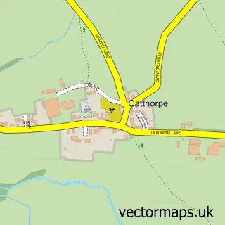
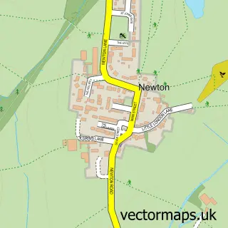
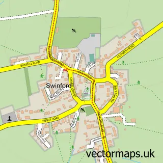
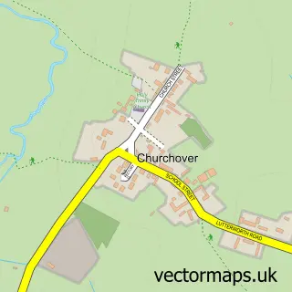
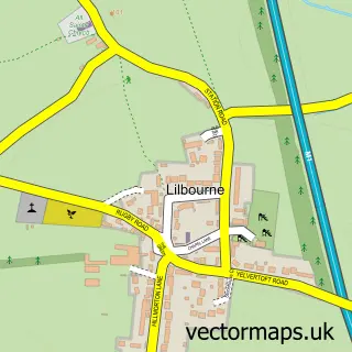
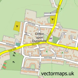
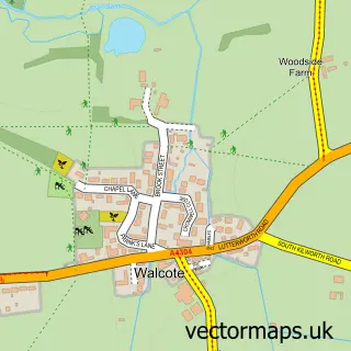
Nearby street map samples around Shawell


More street maps in Leicestershire
750 metre map area coverage
Boundary, postcode and point of interest information for the 750m x 750m rectangle centred on this sample map.
Boundaries containing map centre
Constituency: South Leicestershire Co Const
County: Leicestershire County
District: Harborough District
Icb: NHS Leicester Leicestershire and Rutland ICB
Parish: Shawell CP
Police Force: leicestershire
Postcode District: LE17
Postcode Sector: LE17 6
Ward: Misterton Ward
Nearby boundaries intersecting sample
No additional intersecting boundaries found.
Postcode coverage
POI category counts
Automotive Services And Repair: 1
Bar: 1
Boutique: 1
Corporate Entertainment Services: 1
Furniture Manufacturers: 1
Metal Fabricator: 1
Sample points of interest
- Shawell Technology
- Actium Technologies
- Isabella and Grace Boutique
- The Magic Zone
- Stewart Groom Carpets & Flooring
- Middle Farm Crafts
Create a larger editable map of Shawell
This sample shows only a 750 metre area. To create a larger map of Shawell, use our map builder to choose your own coverage area, add titles and download editable SVG, PDF and PNG files.
Create a custom map of Shawell