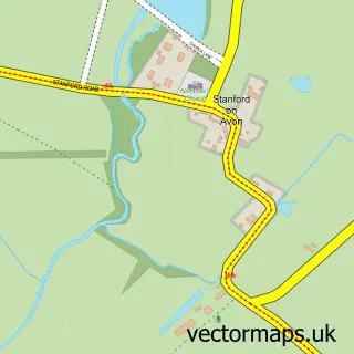
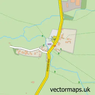
This Swinford street map is a detailed vector street map covering a 750m x 750m area. Select a larger area to create and download your own vector street map of Swinford.
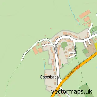
The 750-metre map sample for Swinford covers 226 mapped buildings and approximately 17.8 km of road detail, of which 15 named roads are named. The immediate area includes 1 school and 3 pubs. The wider area around Swinford features 3 food and drink venues. To create a larger or custom map of Swinford, the map builder lets you define your own coverage area and download editable SVG, PDF and PNG files.
Create a larger editable map of Swinford
Choose any area you need and generate a high-quality vector map instantly. Perfect for print, planning, design, business and personal use.

This Swinford street map in Leicestershire is available as downloadable SVG, PDF and PNG map files, or as a printed map for planning, business, display, education, local information and design work. You can also create a larger custom map area using the map selector.
What this Swinford map sample shows
Swinford lies within Swinford Cp parish, part of Misterton ward in the Harborough District local authority area. The postcode geography for this area includes the LE postcode area, the LE17 postcode district and the LE17 6 postcode sector. Residents fall under the Nhs Leicester, Leicestershire And Rutland Integrated Care Board for NHS services.
Local features near Swinford
Within 2 milesAmenities and services in and around Swinford.
Administrative and postcode information for Swinford
Swinford lies within Swinford Cp parish, part of Misterton ward in the Harborough District local authority area. The postcode geography for this area includes the LE postcode area, the LE17 postcode district and the LE17 6 postcode sector. Residents fall under the Nhs Leicester, Leicestershire And Rutland Integrated Care Board for NHS services.
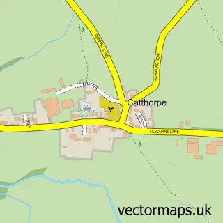
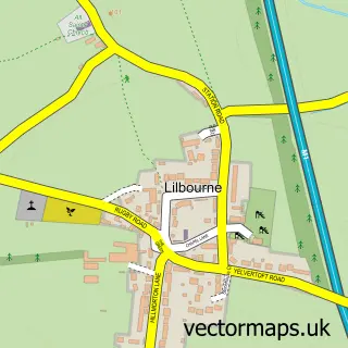
Nearby street map samples around Swinford


More street maps in Leicestershire
750 metre map area coverage
Boundary, postcode and point of interest information for the 750m x 750m rectangle centred on this sample map.
Boundaries containing map centre
Constituency: South Leicestershire Co Const
County: Leicestershire County
District: Harborough District
Icb: NHS Leicester Leicestershire and Rutland ICB
Parish: Swinford CP
Police Force: leicestershire
Postcode District: LE17
Postcode Sector: LE17 6
Ward: Misterton Ward
Nearby boundaries intersecting sample
No additional intersecting boundaries found.
Postcode coverage
POI category counts
Professional Services: 3
Pub: 3
Anglican Church: 2
Business Consulting: 1
Elementary School: 1
Eyewear And Optician: 1
Mortgage Broker: 1
Pet Groomer: 1
Public And Government Association: 1
Sample points of interest
- All Saints' Church
- All Saints', Swinford
- Vee Solutions
- Swinford C of E School
- Boots Opticians
- The Old Bakehouse Financial Services Ltd
- Thelittlegroombarn
- AJDoyle Photography
- Beanz Consulting
- Konstanza
- Chequers
- The Chequers
Create a larger editable map of Swinford
This sample shows only a 750 metre area. To create a larger map of Swinford, use our map builder to choose your own coverage area, add titles and download editable SVG, PDF and PNG files.
Create a custom map of Swinford