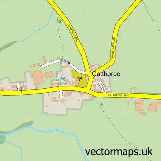
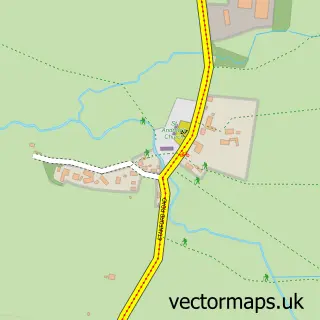
This Lilbourne street map is a detailed vector street map covering a 750m x 750m area. Select a larger area to create and download your own vector street map of Lilbourne.
The 750-metre map sample for Lilbourne covers 136 mapped buildings and approximately 39.2 km of road detail, of which 9 named roads are named. The immediate area includes 1 pub. The wider area around Lilbourne features 1 tourism point of interest and 1 food and drink venue. To create a larger or custom map of Lilbourne, the map builder lets you define your own coverage area and download editable SVG, PDF and PNG files.
Create a larger editable map of Lilbourne
Choose any area you need and generate a high-quality vector map instantly. Perfect for print, planning, design, business and personal use.

This Lilbourne street map in Northamptonshire is available as downloadable SVG, PDF and PNG map files, or as a printed map for planning, business, display, education, local information and design work. You can also create a larger custom map area using the map selector.
What this Lilbourne map sample shows
Lilbourne lies within Lilbourne Cp parish, part of Yelvertoft ward in the West Northamptonshire local authority area. The postcode geography for this area includes the CV postcode area, the CV23 postcode district and the CV23 0 postcode sector. Residents fall under the Nhs Northamptonshire Integrated Care Board for NHS services.
Local features near Lilbourne
Within 2 milesAmenities and services in and around Lilbourne.
Administrative and postcode information for Lilbourne
The local authority covering Lilbourne is West Northamptonshire, within the county of Northamptonshire. The settlement lies within Yelvertoft ward and Lilbourne Cp civil parish. The CV23 postcode district and CV23 0 postcode sector serve the immediate area. NHS provision in the area is delivered through Kettering General Hospital Nhs Foundation Trust.
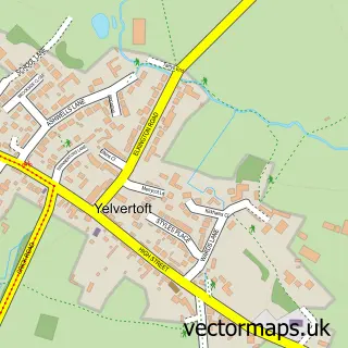
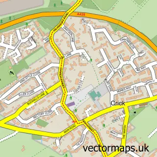
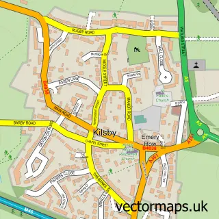
Nearby street map samples around Lilbourne

More street maps in Northamptonshire
750 metre map area coverage
Boundary, postcode and point of interest information for the 750m x 750m rectangle centred on this sample map.
Boundaries containing map centre
Constituency: Daventry Co Const
District: West Northamptonshire
Icb: NHS Northamptonshire ICB
Parish: Lilbourne CP
Police Force: northamptonshire
Postcode District: CV23
Postcode Sector: CV23 0
Ward: Braunston & Crick Ward
Nearby boundaries intersecting sample
No additional intersecting boundaries found.
Postcode coverage
POI category counts
Storage Facility: 2
Anglican Church: 1
Art Gallery: 1
Community Center: 1
Corporate Entertainment Services: 1
Doctor: 1
Music School: 1
Park: 1
Playground: 1
Pub: 1
Sample points of interest
- All Saints' Church, Lilbourne.
- Christie Lloyd Interiors
- Lilbourne Village Hall
- Sculpture Machine
- Healing Hands Holistic Health
- Martins Mobile Music
- Andy Hemmings Memorial Park Lilbourne
- Lilbourne Children's Park
- Head of Steam Lilbourne
- Sculpture Machine Ltd.
- Trotters Horse Rug Wash
- BAG Car Storage
Create a larger editable map of Lilbourne
This sample shows only a 750 metre area. To create a larger map of Lilbourne, use our map builder to choose your own coverage area, add titles and download editable SVG, PDF and PNG files.
Create a custom map of Lilbourne