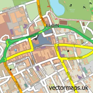
This Burghead street map is a detailed vector street map covering a 750m x 750m area. Select a larger area to create and download your own vector street map of Burghead.
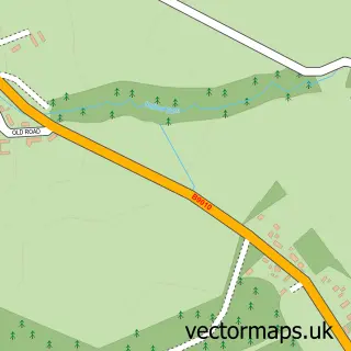
The 750-metre map sample for Burghead covers 323 mapped buildings and approximately 15.9 km of road detail, of which 24 named roads are named. The immediate area includes 1 MOT station. The wider area around Burghead features 3 tourism points of interest, 3 food and drink venues and 5 hotels. To create a larger or custom map of Burghead, the map builder lets you define your own coverage area and download editable SVG, PDF and PNG files.
Create a larger editable map of Burghead
Choose any area you need and generate a high-quality vector map instantly. Perfect for print, planning, design, business and personal use.

This Burghead street map in Moray is available as downloadable SVG, PDF and PNG map files, or as a printed map for planning, business, display, education, local information and design work. You can also create a larger custom map area using the map selector.
What this Burghead map sample shows
Burghead lies within Moray parish, part of Heldon And Laich ward in the Moray local authority area. The postcode geography for this area includes the IV postcode area, the IV30 postcode district and the IV30 5 postcode sector. Local NHS services are provided through Grampian.
Local features near Burghead
Within 2 milesAmenities and services in and around Burghead.
Administrative and postcode information for Burghead
Burghead lies within Moray parish, part of Heldon And Laich ward in the Moray local authority area. The postcode geography for this area includes the IV postcode area, the IV30 postcode district and the IV30 5 postcode sector. Local NHS services are provided through Grampian.
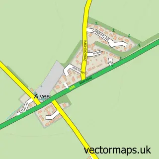
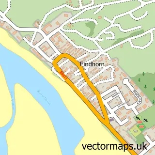
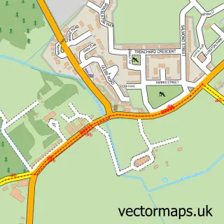
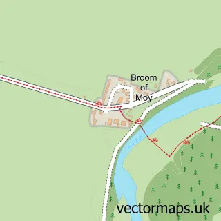
Nearby street map samples around Burghead

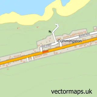
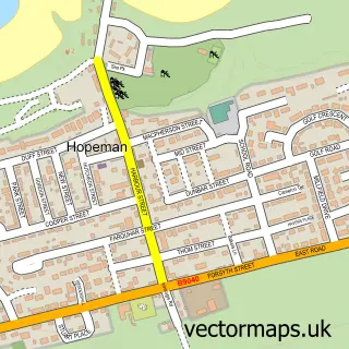
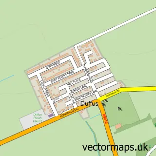
More street maps in Moray
750 metre map area coverage
Boundary, postcode and point of interest information for the 750m x 750m rectangle centred on this sample map.
Boundaries containing map centre
Constituency: Moray West, Nairn and Strathspey Co Const
District: Moray
Icb: Grampian
Postcode District: IV30
Postcode Sector: IV30 5
Ward: Heldon and Laich Ward
Nearby boundaries intersecting sample
No additional intersecting boundaries found.
Postcode coverage
POI category counts
Hotel: 5
Landmark And Historical Building: 3
Restaurant: 3
Beach: 2
Church Cathedral: 2
Hair Salon: 2
Jewelry Store: 2
Library: 2
Shipping Center: 2
Automotive Repair: 1
Sample points of interest
- Unipart Car Care Centre
- Bank of Scotland
- Burghead Beach
- Burghead/findhorn Coastal
- Megan Main - Hairstylist
- Plumbing & Renewables
- Norland Bed & Breakfast
- Burghead Free Church
- Burghead Free Church
- Burghead Community Hall
- Mike O'Driscoll Joiners and Builders
- Burghead Surgery
Create a larger editable map of Burghead
This sample shows only a 750 metre area. To create a larger map of Burghead, use our map builder to choose your own coverage area, add titles and download editable SVG, PDF and PNG files.
Create a custom map of Burghead