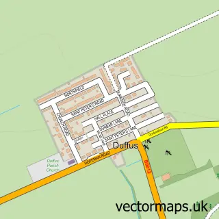
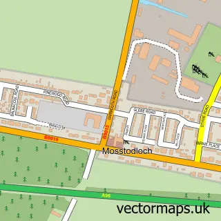
This Elgin street map is a detailed vector street map covering a 750m x 750m area. Select a larger area to create and download your own vector street map of Elgin.
The 750-metre map sample for Elgin covers 255 mapped buildings and approximately 23.2 km of road detail, of which 43 named roads are named. The immediate area includes 2 GP surgeries within 2 miles, 10 pubs and 19 MOT stations within 2 miles. The wider area around Elgin features 5 tourism points of interest, 31 food and drink venues and 4 hotels. To create a larger or custom map of Elgin, the map builder lets you define your own coverage area and download editable SVG, PDF and PNG files.
Create a larger editable map of Elgin
Choose any area you need and generate a high-quality vector map instantly. Perfect for print, planning, design, business and personal use.

This Elgin street map in Moray is available as downloadable SVG, PDF and PNG map files, or as a printed map for planning, business, display, education, local information and design work. You can also create a larger custom map area using the map selector.
What this Elgin map sample shows
Elgin lies within Moray parish, part of Elgin City South ward in the Moray local authority area. The postcode geography for this area includes the IV postcode area, the IV30 postcode district and the IV30 1 postcode sector. Residents fall under the Grampian for NHS services.
Local features near Elgin
Within 2 milesAmenities and services in and around Elgin.
Administrative and postcode information for Elgin
The local authority covering Elgin is Moray, within the county of Moray. The settlement lies within Elgin City South ward and Moray civil parish. The IV30 postcode district and IV30 1 postcode sector serve the immediate area. NHS provision in the area is delivered through Grampian.
Nearby street map samples around Elgin

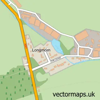
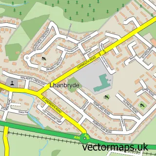
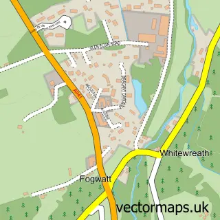
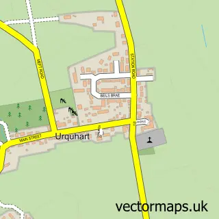
More street maps in Moray
750 metre map area coverage
Boundary, postcode and point of interest information for the 750m x 750m rectangle centred on this sample map.
Boundaries containing map centre
Constituency: Moray West, Nairn and Strathspey Co Const
District: Moray
Icb: Grampian
Postcode District: IV30
Postcode Sector: IV30 1
Ward: Elgin City South Ward
Nearby boundaries intersecting sample
Ward: Elgin City North Ward
Postcode coverage
POI category counts
Beauty Salon: 30
Beauty And Spa: 17
Clothing Store: 11
Hair Salon: 11
Pub: 10
Real Estate Agent: 10
Bar: 9
Charity Organization: 9
Church Cathedral: 9
Bank Credit Union: 8
Sample points of interest
- Cathedral Accountancy
- Faith Simpson Accountants Ltd
- Northgate Accounting Services
- Ritsons Chartered Accountants
- Peak Athlete Performance Coaching
- SFB Consulting Group
- Restaurant 55
- Holy Trinity Church
- Barnardo's
- Wittets Architects
- Elgin Gallery & Coffee Shop
- Elgin Gallery and Framers
Create a larger editable map of Elgin
This sample shows only a 750 metre area. To create a larger map of Elgin, use our map builder to choose your own coverage area, add titles and download editable SVG, PDF and PNG files.
Create a custom map of Elgin