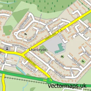
This Mosstodloch street map is a detailed vector street map covering a 750m x 750m area. Select a larger area to create and download your own vector street map of Mosstodloch.
The 750-metre map sample for Mosstodloch covers 196 mapped buildings and approximately 14.9 km of road detail, of which 13 named roads are named. The immediate area includes 1 GP surgery within 2 miles and 1 MOT station within 2 miles. The wider area around Mosstodloch features 1 campsite within 2 miles. To create a larger or custom map of Mosstodloch, the map builder lets you define your own coverage area and download editable SVG, PDF and PNG files.
Create a larger editable map of Mosstodloch
Choose any area you need and generate a high-quality vector map instantly. Perfect for print, planning, design, business and personal use.

This Mosstodloch street map in Moray is available as downloadable SVG, PDF and PNG map files, or as a printed map for planning, business, display, education, local information and design work. You can also create a larger custom map area using the map selector.
What this Mosstodloch map sample shows
Mosstodloch lies within Moray parish, part of Fochabers Lhanbryde ward in the Moray local authority area. The postcode geography for this area includes the IV postcode area, the IV32 postcode district and the IV32 7 postcode sector. Residents fall under the Grampian for NHS services.
Local features near Mosstodloch
Within 2 milesAmenities and services in and around Mosstodloch.
Administrative and postcode information for Mosstodloch
The local authority covering Mosstodloch is Moray, within the county of Moray. The settlement lies within Fochabers Lhanbryde ward and Moray civil parish. The IV32 postcode district and IV32 7 postcode sector serve the immediate area. NHS provision in the area is delivered through Grampian.
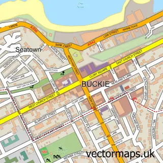
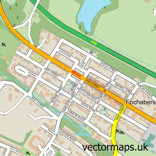
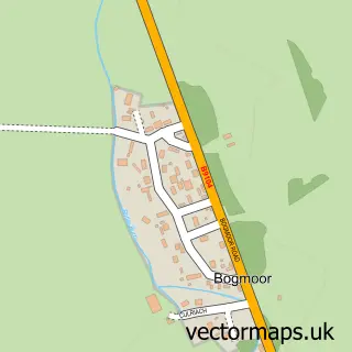
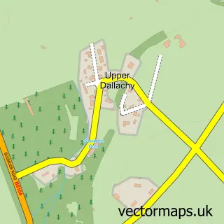
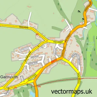
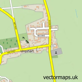
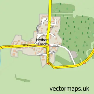
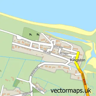
Nearby street map samples around Mosstodloch

More street maps in Moray
750 metre map area coverage
Boundary, postcode and point of interest information for the 750m x 750m rectangle centred on this sample map.
Boundaries containing map centre
Constituency: Moray West, Nairn and Strathspey Co Const
District: Moray
Icb: Grampian
Postcode District: IV32
Postcode Sector: IV32 7
Ward: Fochabers Lhanbryde Ward
Nearby boundaries intersecting sample
No additional intersecting boundaries found.
Postcode coverage
POI category counts
Gas Station: 3
Post Office: 2
Professional Services: 2
Atms: 1
Bar: 1
Beauty Salon: 1
Building Supply Store: 1
Chinese Restaurant: 1
Community Services Non Profits: 1
Convenience Store: 1
Sample points of interest
- PayPoint
- Ben Aigen Arms
- Sass
- James Jones & Sons
- Kungfu Panda
- Mosstodloch Village Hall
- Mosstodloch Service Station
- Harry’s Hideout - Secure Dog Field
- Mosstodloch Primary School
- Almacit Engineering
- Highland Green Lawns and Gardens
- HIGHLAND MOSSTODLOCH
Create a larger editable map of Mosstodloch
This sample shows only a 750 metre area. To create a larger map of Mosstodloch, use our map builder to choose your own coverage area, add titles and download editable SVG, PDF and PNG files.
Create a custom map of Mosstodloch