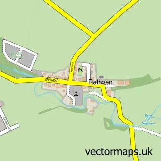
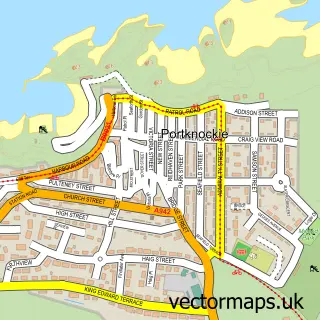
This Buckie street map is a detailed vector street map covering a 750m x 750m area. Select a larger area to create and download your own vector street map of Buckie.
The 750-metre map sample for Buckie covers 440 mapped buildings and approximately 23.8 km of road detail, of which 54 named roads are named. The immediate area includes 2 GP surgeries within 2 miles, 3 pubs and 2 MOT stations, with 5 within 2 miles. The wider area around Buckie features 2 tourism points of interest, 11 food and drink venues and 3 hotels. To create a larger or custom map of Buckie, the map builder lets you define your own coverage area and download editable SVG, PDF and PNG files.
Create a larger editable map of Buckie
Choose any area you need and generate a high-quality vector map instantly. Perfect for print, planning, design, business and personal use.

This Buckie street map in Banffshire is available as downloadable SVG, PDF and PNG map files, or as a printed map for planning, business, display, education, local information and design work. You can also create a larger custom map area using the map selector.
What this Buckie map sample shows
Buckie lies within Moray parish, part of Buckie ward in the Moray local authority area. The postcode geography for this area includes the AB postcode area, the AB56 postcode district and the AB56 1 postcode sector. Residents fall under the Grampian for NHS services.
Local features near Buckie
Within 2 milesAmenities and services in and around Buckie.
Administrative and postcode information for Buckie
The local authority covering Buckie is Moray, within the county of Banffshire. The settlement lies within Buckie ward and Moray civil parish. The AB56 postcode district and AB56 1 postcode sector serve the immediate area. NHS provision in the area is delivered through Grampian.
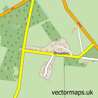
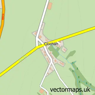
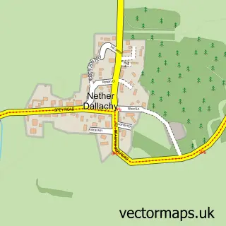
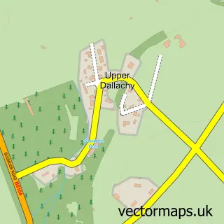
Nearby street map samples around Buckie

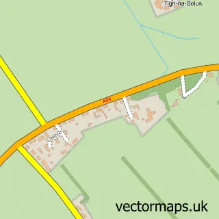
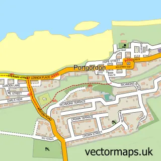
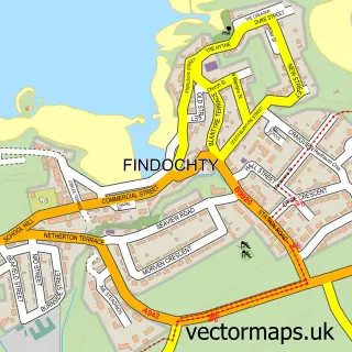
More street maps in Banffshire
750 metre map area coverage
Boundary, postcode and point of interest information for the 750m x 750m rectangle centred on this sample map.
Boundaries containing map centre
Constituency: Aberdeenshire North and Moray East Co Const
District: Moray
Icb: Grampian
Postcode District: AB56
Postcode Sector: AB56 1
Ward: Buckie Ward
Nearby boundaries intersecting sample
No additional intersecting boundaries found.
Postcode coverage
POI category counts
Church Cathedral: 7
Beauty Salon: 6
Automotive Repair: 4
Beauty And Spa: 4
Cafe: 4
Furniture Store: 4
Professional Services: 4
Bakery: 3
Bank Credit Union: 3
Barber: 3
Sample points of interest
- All Saints Church Hall Buckie
- Be so Crafty
- MRO Yarns and Crafts
- The Ragamuffin
- Parklands
- Buckie Furniture & Carpets
- The Cooperative Food Buckie
- Car Valet Service
- Motovation
- Highland Garage
- Northern Oils
- P C H Garage Services
Create a larger editable map of Buckie
This sample shows only a 750 metre area. To create a larger map of Buckie, use our map builder to choose your own coverage area, add titles and download editable SVG, PDF and PNG files.
Create a custom map of Buckie