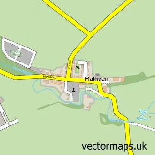
This Portgordon street map is a detailed vector street map covering a 750m x 750m area. Select a larger area to create and download your own vector street map of Portgordon.
The 750-metre map sample for Portgordon covers 225 mapped buildings and approximately 14.1 km of road detail, of which 26 named roads are named. The immediate area includes 2 GP surgeries within 2 miles. The wider area around Portgordon features 1 tourism point of interest. To create a larger or custom map of Portgordon, the map builder lets you define your own coverage area and download editable SVG, PDF and PNG files.
Create a larger editable map of Portgordon
Choose any area you need and generate a high-quality vector map instantly. Perfect for print, planning, design, business and personal use.

This Portgordon street map in Banffshire is available as downloadable SVG, PDF and PNG map files, or as a printed map for planning, business, display, education, local information and design work. You can also create a larger custom map area using the map selector.
What this Portgordon map sample shows
Portgordon lies within Moray parish, part of Fochabers Lhanbryde ward in the Moray local authority area. The postcode geography for this area includes the AB postcode area, the AB56 postcode district and the AB56 5 postcode sector. Residents fall under the Grampian for NHS services.
Local features near Portgordon
Within 2 milesAmenities and services in and around Portgordon.
Administrative and postcode information for Portgordon
Portgordon lies within Moray parish, part of Fochabers Lhanbryde ward in the Moray local authority area. The postcode geography for this area includes the AB postcode area, the AB56 postcode district and the AB56 5 postcode sector. Residents fall under the Grampian for NHS services.
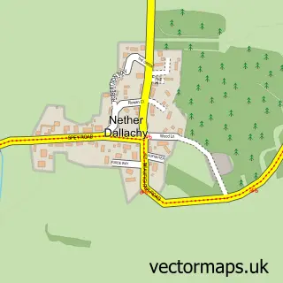
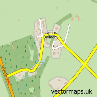
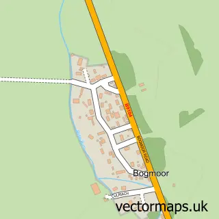
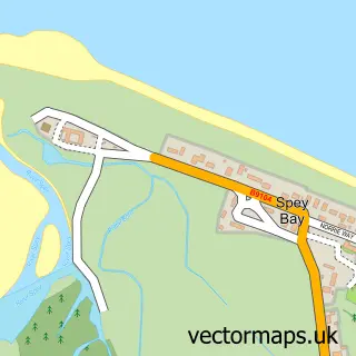
Nearby street map samples around Portgordon
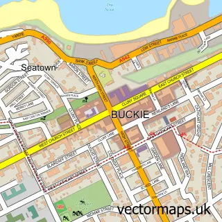

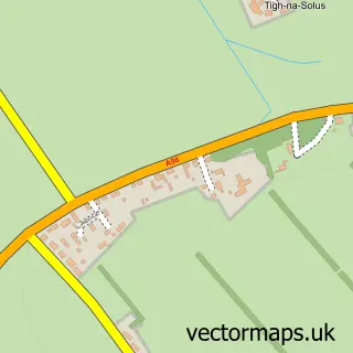
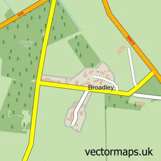
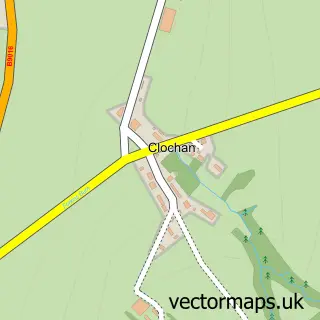
More street maps in Banffshire
750 metre map area coverage
Boundary, postcode and point of interest information for the 750m x 750m rectangle centred on this sample map.
Boundaries containing map centre
Constituency: Aberdeenshire North and Moray East Co Const
District: Moray
Icb: Grampian
Postcode District: AB56
Postcode Sector: AB56 5
Ward: Fochabers Lhanbryde Ward
Nearby boundaries intersecting sample
No additional intersecting boundaries found.
Postcode coverage
POI category counts
Convenience Store: 2
Driving School: 2
Elementary School: 2
Attractions And Activities: 1
Bar: 1
Beauty Salon: 1
Catholic Church: 1
Contractor: 1
Ev Charging Station: 1
It Service And Computer Repair: 1
Sample points of interest
- Portgordon Fairy Walk
- Lennox Inn
- Soul Therapies
- Buckie South, West and Enzie
- Houston Home Maintenance
- McKays Mini Market
- Spar Portgordon - Mckays Mini Market
- Bill Addison Driver Training
- Kevin Smith Driver Training
- Portgordon Primary School
- Portgordon Primary School
- Portgordon Village Hall
Create a larger editable map of Portgordon
This sample shows only a 750 metre area. To create a larger map of Portgordon, use our map builder to choose your own coverage area, add titles and download editable SVG, PDF and PNG files.
Create a custom map of Portgordon