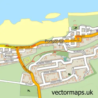
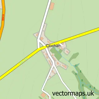
This Portknockie street map is a detailed vector street map covering a 750m x 750m area. Select a larger area to create and download your own vector street map of Portknockie.
The 750-metre map sample for Portknockie covers 420 mapped buildings and approximately 19.0 km of road detail, of which 44 named roads are named. The immediate area includes 1 pub. The wider area around Portknockie features 1 tourism point of interest, 1 food and drink venue and 4 hotels. To create a larger or custom map of Portknockie, the map builder lets you define your own coverage area and download editable SVG, PDF and PNG files.
Create a larger editable map of Portknockie
Choose any area you need and generate a high-quality vector map instantly. Perfect for print, planning, design, business and personal use.

This Portknockie street map in Banffshire is available as downloadable SVG, PDF and PNG map files, or as a printed map for planning, business, display, education, local information and design work. You can also create a larger custom map area using the map selector.
What this Portknockie map sample shows
Portknockie lies within Moray parish, part of Keith And Cullen ward in the Moray local authority area. The postcode geography for this area includes the AB postcode area, the AB56 postcode district and the AB56 4 postcode sector. Residents fall under the Grampian for NHS services.
Local features near Portknockie
Within 2 milesAmenities and services in and around Portknockie.
Administrative and postcode information for Portknockie
The local authority covering Portknockie is Moray, within the county of Banffshire. The settlement lies within Keith And Cullen ward and Moray civil parish. The AB56 postcode district and AB56 4 postcode sector serve the immediate area. NHS provision in the area is delivered through Grampian.
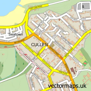
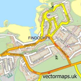
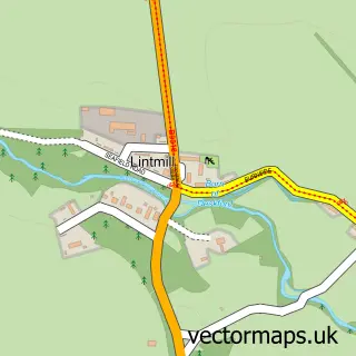
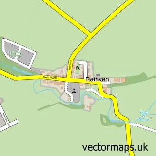
Nearby street map samples around Portknockie

More street maps in Banffshire
750 metre map area coverage
Boundary, postcode and point of interest information for the 750m x 750m rectangle centred on this sample map.
Boundaries containing map centre
Constituency: Aberdeenshire North and Moray East Co Const
District: Moray
Icb: Grampian
Postcode District: AB56
Postcode Sector: AB56 4
Ward: Keith and Cullen Ward
Nearby boundaries intersecting sample
No additional intersecting boundaries found.
Postcode coverage
POI category counts
Hotel: 4
Beauty Salon: 3
Convenience Store: 3
Cottage: 2
Fish And Chips Restaurant: 2
Holiday Rental Home: 2
Arts And Crafts: 1
Business Management Services: 1
Carpenter: 1
Caterer: 1
Sample points of interest
- Bow Fiddle Yarns
- Glamour By Stacey
- LOX Hair Salon
- Nail Envy Nail Technician & Scents
- Post Office-Portknockie
- John Liley Joiner/Cabinetmaker
- Mcboyle Hall Portknockie
- Portknockie
- Portknockie Chinese Takeaway
- Church of Christ
- Mckays Mini Market - Spar / Post Office
- SPAR Portnockie
Create a larger editable map of Portknockie
This sample shows only a 750 metre area. To create a larger map of Portknockie, use our map builder to choose your own coverage area, add titles and download editable SVG, PDF and PNG files.
Create a custom map of Portknockie