Vector Maps logo
Home Why it works Popular maps Districts Samples Customizer Create Your Map
VectorMaps.uk
Home Popular maps Districts Samples Customizer Create Your Map Privacy Disclaimer
Home / UK Maps / Moray / Kingston on Spey Map

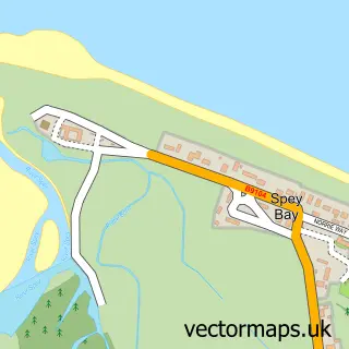
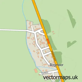
This Kingston on Spey street map is a detailed vector street map covering a 750m x 750m area. Select a larger area to create and download your own vector street map of Kingston on Spey.

Kingston on Spey is a village in Moray, in the Highlands And Islands of Scotland. Historically, the area formed part of Nairn.

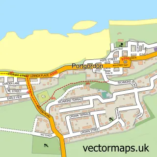
The 750-metre map sample for Kingston on Spey covers 110 mapped buildings and approximately 7.9 km of road detail, of which 7 named roads are named. To create a larger or custom map of Kingston on Spey, the map builder lets you define your own coverage area and download editable SVG, PDF and PNG files.

110Buildings
7.94 kmRoads
7Named roads
0Residents within 2 miles
Create your own

Create a larger editable map of Kingston on Spey

Choose any area you need and generate a high-quality vector map instantly. Perfect for print, planning, design, business and personal use.

Choose any location
Editable SVG files
Any size up to A0
PDF, PNG & more
Instant download
High quality guaranteed
Create My Custom Map
Secure, private & no credit card required
Kingston on Spey Vector Street Map
750m Sample
Kingston on Spey vector street map sample showing roads, buildings and local features in a 750 metre preview area
Buy Kingston on Spey Map Print from £12.95 Buy Kingston on Spey Digital Map from £6

This Kingston on Spey street map in Moray is available as downloadable SVG, PDF and PNG map files, or as a printed map for planning, business, display, education, local information and design work. You can also create a larger custom map area using the map selector.

What this Kingston on Spey map sample shows

Kingston on Spey lies within Moray parish, part of Fochabers Lhanbryde ward in the Moray local authority area. Residents fall under the Grampian for NHS services.

Administrative and postcode information for Kingston on Spey

The local authority covering Kingston on Spey is Moray, within the county of Moray. The settlement lies within Fochabers Lhanbryde ward and Moray civil parish. NHS provision in the area is delivered through Grampian.

Parish MORAY
Ward Fochabers Lhanbryde
District / local authority Moray
County Moray
Historic county Nairn
Region Highlands and Islands
Country Scotland

Nearby street map samples around Kingston on Spey

Street map sample of Buckie, Banffshire Buckie Town - Banffshire - 5.5 miles Street map sample of Inverness, Inverness Inverness City - Inverness - 43.4 miles Street map sample of Garmouth, Moray Garmouth Village - Moray - 0.7 miles Street map sample of Spey Bay, Moray Spey Bay Village - Moray - 0.9 miles Street map sample of Nether Dallachy, Moray Nether Dallachy Village - Moray - 1.8 miles Street map sample of Bogmoor, Moray Bogmoor Village - Moray - 1.9 miles Street map sample of Upper Dallachy, Moray Upper Dallachy Village - Moray - 2.4 miles Street map sample of Mosstodloch, Moray Mosstodloch Village - Moray - 3.4 miles Street map sample of Urquhart, Moray Urquhart Village - Moray - 3.5 miles Street map sample of Portgordon, Banffshire Portgordon Village - Banffshire - 3.7 miles

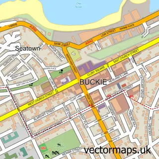
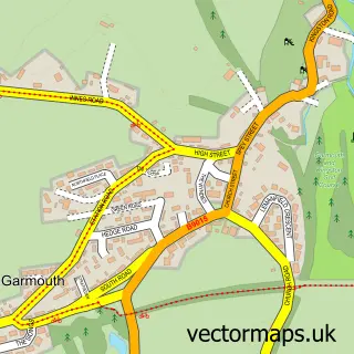
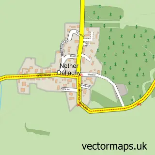
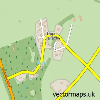
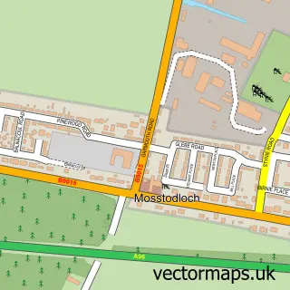
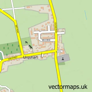
More street maps in Moray

Street map sample of Garmouth, Moray Garmouth Village - 0.7 miles Street map sample of Spey Bay, Moray Spey Bay Village - 0.9 miles Street map sample of Nether Dallachy, Moray Nether Dallachy Village - 1.8 miles Street map sample of Bogmoor, Moray Bogmoor Village - 1.9 miles Street map sample of Upper Dallachy, Moray Upper Dallachy Village - 2.4 miles

750 metre map area coverage

Boundary, postcode and point of interest information for the 750m x 750m rectangle centred on this sample map.

Boundaries containing map centre

Constituency: Moray West, Nairn and Strathspey Co Const

District: Moray

Icb: Grampian

Postcode District: IV32

Postcode Sector: IV32 7

Ward: Fochabers Lhanbryde Ward

Nearby boundaries intersecting sample

No additional intersecting boundaries found.

Postcode coverage

IV32 IV32 7

POI category counts

Beach: 1

Childrens Clothing Store: 1

Information Technology Company: 1

Pest Control Service: 1

Whiskey Bar: 1

Sample points of interest

  • Kingston Beach Beach
  • Joa Toa Childrens Clothing Store
  • Alkowna Information Technology Company
  • Anderson pest prevention Pest Control Service
  • Leinburn Scotch Whisky Whiskey Bar

Create a larger editable map of Kingston on Spey

This sample shows only a 750 metre area. To create a larger map of Kingston on Spey, use our map builder to choose your own coverage area, add titles and download editable SVG, PDF and PNG files.

Create a custom map of Kingston on Spey

Phone 01751 473136 | Copyright Vectormaps.uk 2026

Samples Customizer Privacy Disclaimer
Kingston on Spey Vector Street Map
Kingston on Spey enlarged street map sample showing a 750 metre preview area