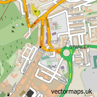
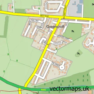
This Burnhope street map is a detailed vector street map covering a 750m x 750m area. Select a larger area to create and download your own vector street map of Burnhope.
The 750-metre map sample for Burnhope covers 295 mapped buildings and approximately 14.1 km of road detail, of which 20 named roads are named. The immediate area includes 1 school, 1 GP surgery, with 2 within 2 miles and 3 MOT stations within 2 miles. To create a larger or custom map of Burnhope, the map builder lets you define your own coverage area and download editable SVG, PDF and PNG files.
Create a larger editable map of Burnhope
Choose any area you need and generate a high-quality vector map instantly. Perfect for print, planning, design, business and personal use.

This Burnhope street map in Durham is available as downloadable SVG, PDF and PNG map files, or as a printed map for planning, business, display, education, local information and design work. You can also create a larger custom map area using the map selector.
What this Burnhope map sample shows
Burnhope lies within Burnhope Cp parish, part of Lanchester ward in the County Durham local authority area. The postcode geography for this area includes the DH postcode area, the DH7 postcode district and the DH7 0 postcode sector. Residents fall under the Nhs North East And North Cumbria Integrated Care Board for NHS services.
Local features near Burnhope
Within 2 milesAmenities and services in and around Burnhope.
Administrative and postcode information for Burnhope
Burnhope lies within Burnhope Cp parish, part of Lanchester ward in the County Durham local authority area. The postcode geography for this area includes the DH postcode area, the DH7 postcode district and the DH7 0 postcode sector. Residents fall under the Nhs North East And North Cumbria Integrated Care Board for NHS services.
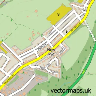
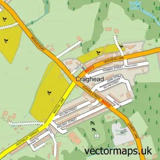
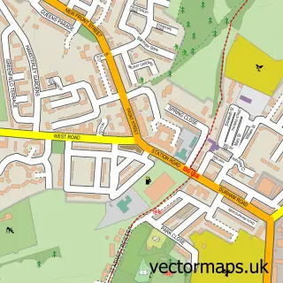
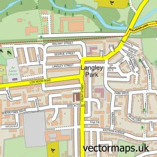
Nearby street map samples around Burnhope

More street maps in Durham
750 metre map area coverage
Boundary, postcode and point of interest information for the 750m x 750m rectangle centred on this sample map.
Boundaries containing map centre
Constituency: North Durham Co Const
District: County Durham
Icb: NHS North East and North Cumbria ICB
Parish: Burnhope CP
Police Force: durham
Postcode District: DH7
Postcode Sector: DH7 0
Nearby boundaries intersecting sample
Parish: Lanchester CP
Postcode coverage
POI category counts
Community Services Non Profits: 2
Doctor: 2
Pet Services: 2
Post Office: 2
Bar: 1
Bar And Grill Restaurant: 1
Bed And Breakfast: 1
Caterer: 1
Community Center: 1
Convenience Store: 1
Sample points of interest
- The Garage bar And grille
- The Garage Bar and Grille
- Burnhope Lodge Guesthouse
- Delicious Cakes and Catering by Sharon Sotheran
- Burnhope Community Centre
- Burnhope Partnership
- Burnhope Village Support Group
- Best-One
- Burnhope Cricket Club
- Doctor Rina Miah
- The Haven Surgery
- Burnhope Primary School
Create a larger editable map of Burnhope
This sample shows only a 750 metre area. To create a larger map of Burnhope, use our map builder to choose your own coverage area, add titles and download editable SVG, PDF and PNG files.
Create a custom map of Burnhope