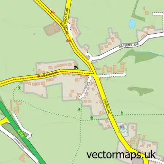
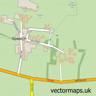
This Burton Fleming street map is a detailed vector street map covering a 750m x 750m area. Select a larger area to create and download your own vector street map of Burton Fleming.
The 750-metre map sample for Burton Fleming covers 200 mapped buildings and approximately 13.7 km of road detail, of which 18 named roads are named. To create a larger or custom map of Burton Fleming, the map builder lets you define your own coverage area and download editable SVG, PDF and PNG files.
Create a larger editable map of Burton Fleming
Choose any area you need and generate a high-quality vector map instantly. Perfect for print, planning, design, business and personal use.

This Burton Fleming street map in East Riding of Yorkshire is available as downloadable SVG, PDF and PNG map files, or as a printed map for planning, business, display, education, local information and design work. You can also create a larger custom map area using the map selector.
What this Burton Fleming map sample shows
Burton Fleming lies within Burton Fleming Cp parish, part of East Wolds And Coastal ward in the East Riding Of Yorkshire local authority area. The postcode geography for this area includes the YO postcode area, the YO25 postcode district and the YO25 3 postcode sector. Residents fall under the Nhs Humber And North Yorkshire Integrated Care Board for NHS services.
Administrative and postcode information for Burton Fleming
Burton Fleming lies within Burton Fleming Cp parish, part of East Wolds And Coastal ward in the East Riding Of Yorkshire local authority area. The postcode geography for this area includes the YO postcode area, the YO25 postcode district and the YO25 3 postcode sector. Residents fall under the Nhs Humber And North Yorkshire Integrated Care Board for NHS services.
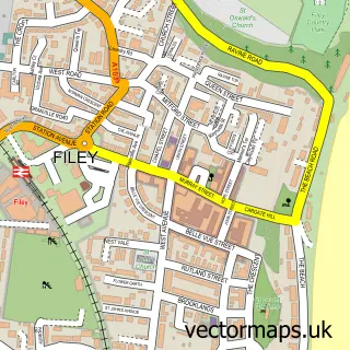
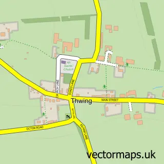
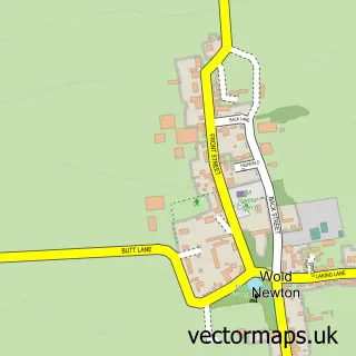
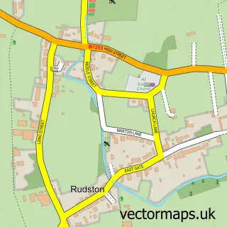
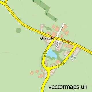
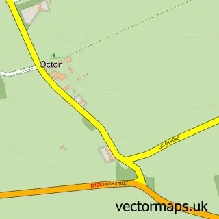
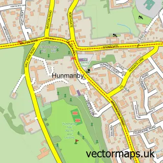
Nearby street map samples around Burton Fleming

More street maps in East Riding of Yorkshire
750 metre map area coverage
Boundary, postcode and point of interest information for the 750m x 750m rectangle centred on this sample map.
Boundaries containing map centre
Constituency: Bridlington and The Wolds Co Const
District: East Riding of Yorkshire
Icb: NHS Humber and North Yorkshire ICB
Parish: Burton Fleming CP
Police Force: humberside
Postcode District: YO25
Postcode Sector: YO25 3
Ward: East Wolds and Coastal Ward
Nearby boundaries intersecting sample
No additional intersecting boundaries found.
Postcode coverage
POI category counts
Business Management Services: 2
Anglican Church: 1
Bed And Breakfast: 1
Construction Services: 1
Farm: 1
Freight And Cargo Service: 1
Holiday Rental Home: 1
Pest Control Service: 1
Professional Services: 1
Psychotherapist: 1
Sample points of interest
- St Cuthbert, Burton Fleming
- Stratton House holiday cottage
- Burton Fleming Post Office
- Mandy Miller Broadcast Services Ltd
- Brambles Construction Services
- Robert Lindley Ltd
- Coast To Coast Couriers
- Easter Ende, North Yorks Coast, Sleeps 10/12, Luxury SelfCatering Cottage
- Evict Pest Control
- Evolve Caravan Solutions
- Juliet Bloom
- R Hayton Transport Ltd
Create a larger editable map of Burton Fleming
This sample shows only a 750 metre area. To create a larger map of Burton Fleming, use our map builder to choose your own coverage area, add titles and download editable SVG, PDF and PNG files.
Create a custom map of Burton Fleming