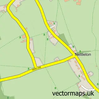
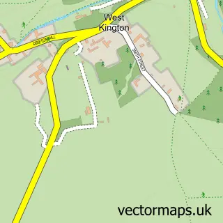
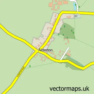
This Burton street map is a detailed vector street map covering a 750m x 750m area. Select a larger area to create and download your own vector street map of Burton.
The 750-metre map sample for Burton covers 117 mapped buildings and approximately 11.9 km of road detail, of which 9 named roads are named. The immediate area includes 1 pub and 1 MOT station, with 2 within 2 miles. The wider area around Burton features 1 food and drink venue. To create a larger or custom map of Burton, the map builder lets you define your own coverage area and download editable SVG, PDF and PNG files.
Create a larger editable map of Burton
Choose any area you need and generate a high-quality vector map instantly. Perfect for print, planning, design, business and personal use.

This Burton street map in Wiltshire is available as downloadable SVG, PDF and PNG map files, or as a printed map for planning, business, display, education, local information and design work. You can also create a larger custom map area using the map selector.
What this Burton map sample shows
Burton lies within Nettleton Cp parish, part of By Brook ward in the Wiltshire local authority area. The postcode geography for this area includes the SN postcode area, the SN14 postcode district and the SN14 7 postcode sector. Residents fall under the Nhs Bath And North East Somerset, Swindon And Wiltshire Integrated Care Board for NHS services.
Local features near Burton
Within 2 milesAmenities and services in and around Burton.
Administrative and postcode information for Burton
The local authority covering Burton is Wiltshire, within the county of Wiltshire. The settlement lies within By Brook ward and Nettleton Cp civil parish. The SN14 postcode district and SN14 7 postcode sector serve the immediate area. NHS provision in the area is delivered through Royal United Hospitals Bath Nhs Foundation Trust.
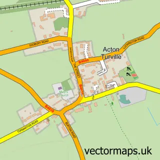
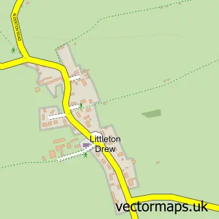
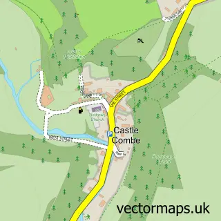
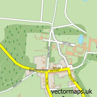
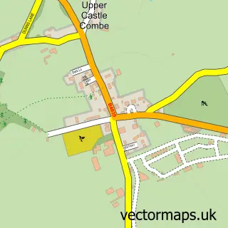
Nearby street map samples around Burton

More street maps in Wiltshire
750 metre map area coverage
Boundary, postcode and point of interest information for the 750m x 750m rectangle centred on this sample map.
Boundaries containing map centre
Constituency: South Cotswolds Co Const
District: Wiltshire
Icb: NHS Bath and North East Somerset Swindon and Wiltshire ICB
Parish: Nettleton CP
Police Force: wiltshire
Postcode District: SN14
Postcode Sector: SN14 7
Nearby boundaries intersecting sample
No additional intersecting boundaries found.
Postcode coverage
POI category counts
Anglican Church: 1
Contractor: 1
Farm: 1
Farmers Market: 1
Horseback Riding Service: 1
Livestock Breeder: 1
Mortgage Broker: 1
Package Locker: 1
Pet Services: 1
Pub: 1
Sample points of interest
- St Mary the Virgin, Nettleton
- The Old Volks Home
- Gilbert's Farm
- Burton Farm Shop
- Barton End Riding Stables
- The piggeries
- Mortgages by Magda
- InPost
- Tockenham Court Equine Fitness and Rehabilitation Centre
- The Old House At Home, Burton
- The Kitman
Create a larger editable map of Burton
This sample shows only a 750 metre area. To create a larger map of Burton, use our map builder to choose your own coverage area, add titles and download editable SVG, PDF and PNG files.
Create a custom map of Burton