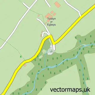
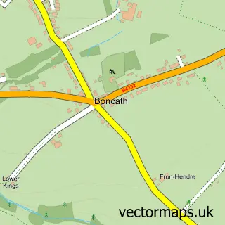
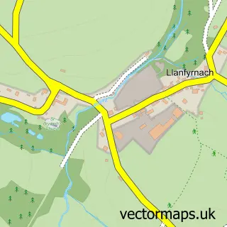
This Bwlch-y-groes street map is a detailed vector street map covering a 750m x 750m area. Select a larger area to create and download your own vector street map of Bwlch-y-groes.
The 750-metre map sample for Bwlch-y-groes covers 37 mapped buildings and approximately 8.4 km of road detail. The immediate area includes 1 MOT station within 2 miles. To create a larger or custom map of Bwlch-y-groes, the map builder lets you define your own coverage area and download editable SVG, PDF and PNG files.
Create a larger editable map of Bwlch-y-groes
Choose any area you need and generate a high-quality vector map instantly. Perfect for print, planning, design, business and personal use.

This Bwlch-y-groes street map in Dyfed is available as downloadable SVG, PDF and PNG map files, or as a printed map for planning, business, display, education, local information and design work. You can also create a larger custom map area using the map selector.
What this Bwlch-y-groes map sample shows
Bwlch-y-groes lies within Clydau Community parish, part of Clydau ward in the Sir Benfro - Pembrokeshire local authority area. The postcode geography for this area includes the SA postcode area, the SA35 postcode district and the SA35 0 postcode sector. Residents fall under the Hywel Dda University Health Board for NHS services.
Local features near Bwlch-y-groes
Within 2 milesAmenities and services in and around Bwlch-y-groes.
Administrative and postcode information for Bwlch-y-groes
The local authority covering Bwlch-y-groes is Sir Benfro - Pembrokeshire, within the county of Dyfed. The settlement lies within Clydau ward and Clydau Community civil parish. The SA35 postcode district and SA35 0 postcode sector serve the immediate area. NHS provision in the area is delivered through Hywel Dda University Health Board.
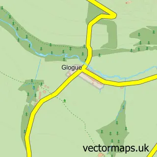
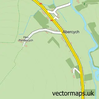
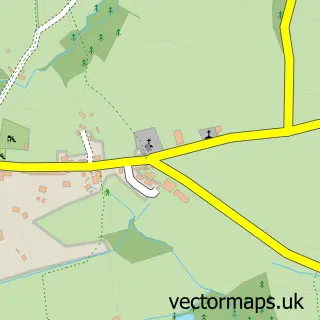
Nearby street map samples around Bwlch-y-groes
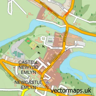

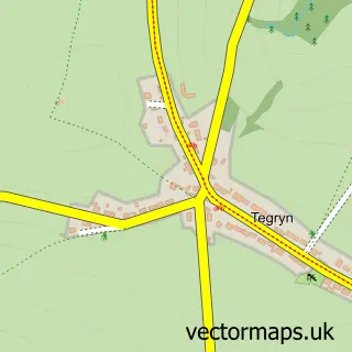
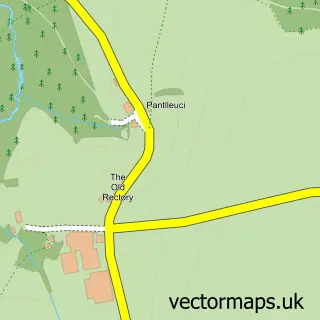
More street maps in Dyfed
750 metre map area coverage
Boundary, postcode and point of interest information for the 750m x 750m rectangle centred on this sample map.
Boundaries containing map centre
Constituency: Ceredigion Preseli Co Const
District: Sir Benfro - Pembrokeshire
Icb: Hywel Dda
Parish: Clydau Community
Police Force: dyfed-powys
Postcode District: SA35
Postcode Sector: SA35 0
Nearby boundaries intersecting sample
Postcode District: SA37
Postcode Sector: SA37 0
Postcode coverage
POI category counts
Community Services Non Profits: 1
Pet Store: 1
School: 1
Sample points of interest
- Green Dragon Bus
- Bwlchygroes Shop and Farm Feeds
- Cylch Ti a Fi Bwlchygroes
Create a larger editable map of Bwlch-y-groes
This sample shows only a 750 metre area. To create a larger map of Bwlch-y-groes, use our map builder to choose your own coverage area, add titles and download editable SVG, PDF and PNG files.
Create a custom map of Bwlch-y-groes