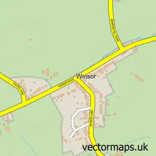
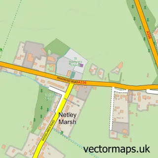
This Cadnam street map is a detailed vector street map covering a 750m x 750m area. Select a larger area to create and download your own vector street map of Cadnam.
The 750-metre map sample for Cadnam covers 274 mapped buildings and approximately 11.0 km of road detail, of which 9 named roads are named. The immediate area includes 1 pub and 2 MOT stations, with 4 within 2 miles. The wider area around Cadnam features 2 tourism points of interest, 2 food and drink venues and 1 hotel. To create a larger or custom map of Cadnam, the map builder lets you define your own coverage area and download editable SVG, PDF and PNG files.
Create a larger editable map of Cadnam
Choose any area you need and generate a high-quality vector map instantly. Perfect for print, planning, design, business and personal use.

This Cadnam street map in Hampshire is available as downloadable SVG, PDF and PNG map files, or as a printed map for planning, business, display, education, local information and design work. You can also create a larger custom map area using the map selector.
What this Cadnam map sample shows
Cadnam lies within Copythorne Cp parish, part of Ashurst, Copythorne South And Netley Marsh ward in the New Forest District local authority area. The postcode geography for this area includes the SO postcode area, the SO40 postcode district and the SO40 2 postcode sector. Residents fall under the Nhs Hampshire And Isle Of Wight Integrated Care Board for NHS services.
Local features near Cadnam
Within 2 milesAmenities and services in and around Cadnam.
Administrative and postcode information for Cadnam
Cadnam lies within Copythorne Cp parish, part of Ashurst, Copythorne South And Netley Marsh ward in the New Forest District local authority area. The postcode geography for this area includes the SO postcode area, the SO40 postcode district and the SO40 2 postcode sector. Residents fall under the Nhs Hampshire And Isle Of Wight Integrated Care Board for NHS services.
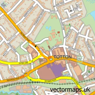
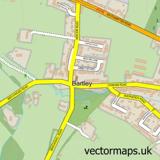
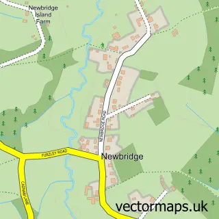
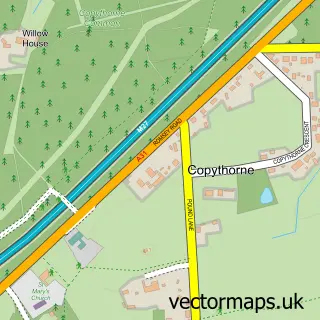
Nearby street map samples around Cadnam

More street maps in Hampshire
750 metre map area coverage
Boundary, postcode and point of interest information for the 750m x 750m rectangle centred on this sample map.
Boundaries containing map centre
Constituency: New Forest East Co Const
County: Hampshire County
District: New Forest District
Icb: NHS Hampshire and Isle of Wight ICB
Parish: Copythorne CP
Police Force: hampshire
Postcode District: SO40
Postcode Sector: SO40 2
Ward: Ashurst, Bramshaw, Copythorne & Netley Marsh Ward
Nearby boundaries intersecting sample
No additional intersecting boundaries found.
Postcode coverage
POI category counts
Gas Station: 4
Professional Services: 4
Auto Body Shop: 2
Podiatrist: 2
Tire Shop: 2
Assisted Living Facility: 1
Atms: 1
Automotive: 1
Automotive Repair: 1
Building Supply Store: 1
Sample points of interest
- Forest Edge Care Home
- SPAR - COURTESY FILLING STATION (Protected), Cadnam
- New Forest Sprays
- Page Southampton
- Motability Scheme at M & J Mobility Cadnum
- Tudor Wheels
- Solent Scaffolding
- Fancy Camping
- New Forest Carriage Company
- Costa Express
- Pullen Associates
- New Forest East Conservative Association
Create a larger editable map of Cadnam
This sample shows only a 750 metre area. To create a larger map of Cadnam, use our map builder to choose your own coverage area, add titles and download editable SVG, PDF and PNG files.
Create a custom map of Cadnam