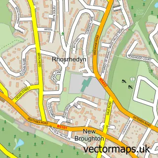
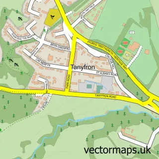
This Caego street map is a detailed vector street map covering a 750m x 750m area. Select a larger area to create and download your own vector street map of Caego.
The 750-metre map sample for Caego covers 303 mapped buildings and approximately 13.9 km of road detail, of which 23 named roads are named. The immediate area includes 2 GP surgeries within 2 miles and 25 MOT stations within 2 miles. The wider area around Caego features 1 tourism point of interest. To create a larger or custom map of Caego, the map builder lets you define your own coverage area and download editable SVG, PDF and PNG files.
Create a larger editable map of Caego
Choose any area you need and generate a high-quality vector map instantly. Perfect for print, planning, design, business and personal use.

This Caego street map in Clwyd is available as downloadable SVG, PDF and PNG map files, or as a printed map for planning, business, display, education, local information and design work. You can also create a larger custom map area using the map selector.
What this Caego map sample shows
Caego lies within Broughton Community parish, part of New Broughton ward in the Wrecsam - Wrexham local authority area. The postcode geography for this area includes the LL postcode area, the LL11 postcode district and the LL11 6 postcode sector. Residents fall under the Betsi Cadwaladr University Health Board for NHS services.
Local features near Caego
Within 2 milesAmenities and services in and around Caego.
Administrative and postcode information for Caego
The local authority covering Caego is Wrecsam - Wrexham, within the county of Clwyd. The settlement lies within New Broughton ward and Broughton Community civil parish. The LL11 postcode district and LL11 6 postcode sector serve the immediate area. NHS provision in the area is delivered through Betsi Cadwaladr University Health Board.
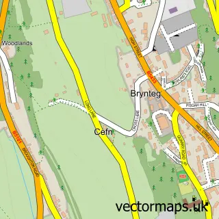
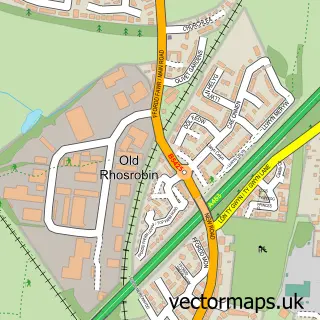
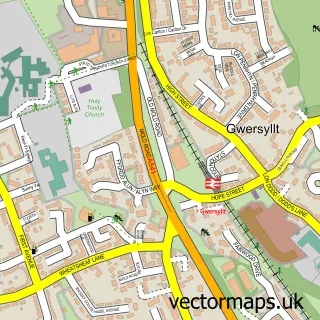
Nearby street map samples around Caego


More street maps in Clwyd
750 metre map area coverage
Boundary, postcode and point of interest information for the 750m x 750m rectangle centred on this sample map.
Boundaries containing map centre
Constituency: Wrexham Co Const
District: Wrecsam - Wrexham
Icb: Betsi Cadwaladr University
Parish: Broughton Community
Police Force: north wales
Postcode District: LL11
Postcode Sector: LL11 6
Nearby boundaries intersecting sample
Parish: Gwersyllt Community
Postcode Sector: LL11 4
Postcode coverage
POI category counts
Car Wash: 2
Driving School: 2
Train Station: 2
Transportation: 2
Atms: 1
Beauty Salon: 1
Building Supply Store: 1
Carpenter: 1
Chinese Restaurant: 1
Contractor: 1
Sample points of interest
- Payzone
- Hair-HQ2
- Ritas Services
- Royal Touch Valeting
- Shine Works Valeting
- G Barkley Joinery and Building Contractors
- Hong Kong House
- Mike Evans Windows Ltd
- Londis
- Dave's school of motoring
- Gatewen Training
- Rita's Domestic Services
Create a larger editable map of Caego
This sample shows only a 750 metre area. To create a larger map of Caego, use our map builder to choose your own coverage area, add titles and download editable SVG, PDF and PNG files.
Create a custom map of Caego