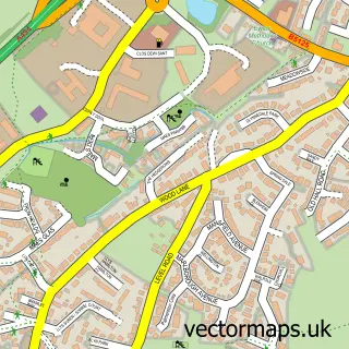
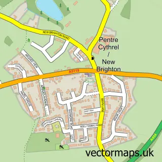
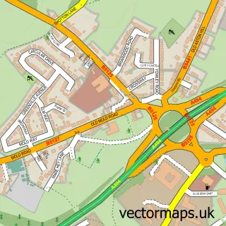
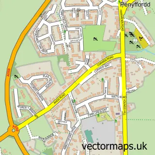
This Buckley street map is a detailed vector street map covering a 750m x 750m area. Select a larger area to create and download your own vector street map of Buckley.
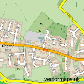
The 750-metre map sample for Buckley covers 448 mapped buildings and approximately 16.6 km of road detail, of which 44 named roads are named. The immediate area includes 2 schools, 2 GP surgeries, 2 pubs and 1 MOT station, with 12 within 2 miles. The wider area around Buckley features 1 tourism point of interest, 6 food and drink venues and 2 hotels. To create a larger or custom map of Buckley, the map builder lets you define your own coverage area and download editable SVG, PDF and PNG files.
Create a larger editable map of Buckley
Choose any area you need and generate a high-quality vector map instantly. Perfect for print, planning, design, business and personal use.

This Buckley street map in Clwyd is available as downloadable SVG, PDF and PNG map files, or as a printed map for planning, business, display, education, local information and design work. You can also create a larger custom map area using the map selector.
What this Buckley map sample shows
Buckley lies within Buckley Community parish, part of Buckley Mountain ward in the Sir Y Fflint - Flintshire local authority area. The postcode geography for this area includes the CH postcode area, the CH7 postcode district and the CH7 3 postcode sector. Residents fall under the Betsi Cadwaladr University Health Board for NHS services.
Local features near Buckley
Within 2 milesAmenities and services in and around Buckley.
Administrative and postcode information for Buckley
The local authority covering Buckley is Sir Y Fflint - Flintshire, within the county of Clwyd. The settlement lies within Buckley Mountain ward and Buckley Community civil parish. The CH7 postcode district and CH7 3 postcode sector serve the immediate area. NHS provision in the area is delivered through Betsi Cadwaladr University Health Board.
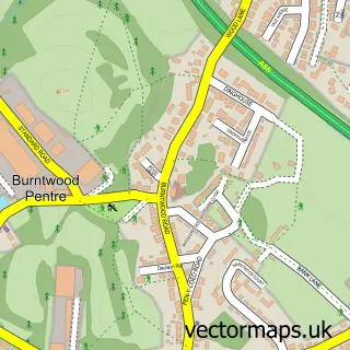
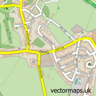
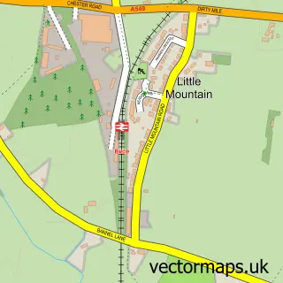
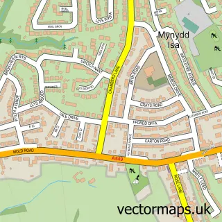
Nearby street map samples around Buckley

More street maps in Clwyd
750 metre map area coverage
Boundary, postcode and point of interest information for the 750m x 750m rectangle centred on this sample map.
Boundaries containing map centre
Constituency: Alyn and Deeside Co Const
District: Sir y Fflint - Flintshire
Icb: Betsi Cadwaladr University
Parish: Buckley Community
Police Force: north wales
Postcode District: CH7
Postcode Sector: CH7 3
Nearby boundaries intersecting sample
Postcode Sector: CH7 2
Postcode coverage
POI category counts
Beauty Salon: 10
Hair Salon: 8
Barber: 5
Dance School: 5
Gym: 5
Doctor: 4
Home Health Care: 4
Pharmacy: 4
Retail: 4
Tattoo And Piercing: 4
Sample points of interest
- Acupuncture Therapy
- Lotus Clinic
- W Bevan & Sons
- AM & PM CONVENIENCE STORE , Moles Road
- BR Spar Brunswick Road
- Don Keeley
- Kraken Body Repairs
- Buckley Autoparts
- Motor World
- ATS Euromaster
- Arrowcroft Autocare
- Arrowcroft Autocare
Create a larger editable map of Buckley
This sample shows only a 750 metre area. To create a larger map of Buckley, use our map builder to choose your own coverage area, add titles and download editable SVG, PDF and PNG files.
Create a custom map of Buckley