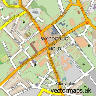
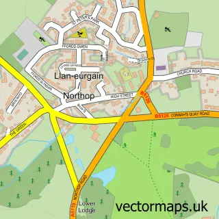
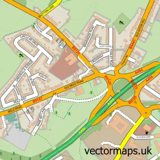
This New Brighton street map is a detailed vector street map covering a 750m x 750m area. Select a larger area to create and download your own vector street map of New Brighton.
The 750-metre map sample for New Brighton covers 266 mapped buildings and approximately 11.9 km of road detail, of which 14 named roads are named. The immediate area includes 3 GP surgeries within 2 miles, 1 pub and 12 MOT stations within 2 miles. The wider area around New Brighton features 2 tourism points of interest, 1 food and drink venue and 3 hotels. To create a larger or custom map of New Brighton, the map builder lets you define your own coverage area and download editable SVG, PDF and PNG files.
Create a larger editable map of New Brighton
Choose any area you need and generate a high-quality vector map instantly. Perfect for print, planning, design, business and personal use.

This New Brighton street map in Clwyd is available as downloadable SVG, PDF and PNG map files, or as a printed map for planning, business, display, education, local information and design work. You can also create a larger custom map area using the map selector.
What this New Brighton map sample shows
New Brighton lies within Argoed Community parish, part of New Brighton ward in the Sir Y Fflint - Flintshire local authority area. The postcode geography for this area includes the CH postcode area, the CH7 postcode district and the CH7 6 postcode sector. Residents fall under the Betsi Cadwaladr University Health Board for NHS services.
Local features near New Brighton
Within 2 milesAmenities and services in and around New Brighton.
Administrative and postcode information for New Brighton
The local authority covering New Brighton is Sir Y Fflint - Flintshire, within the county of Clwyd. The settlement lies within New Brighton ward and Argoed Community civil parish. The CH7 postcode district and CH7 6 postcode sector serve the immediate area. NHS provision in the area is delivered through Betsi Cadwaladr University Health Board.
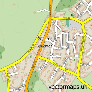
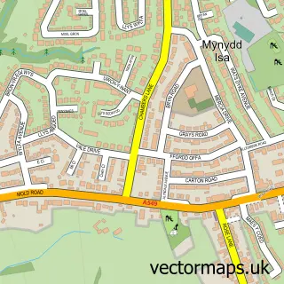
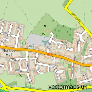
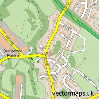
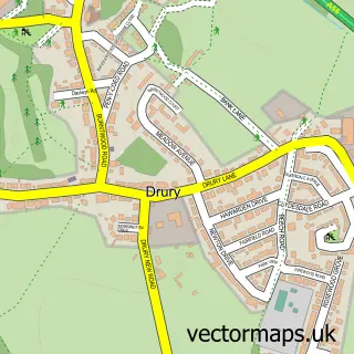
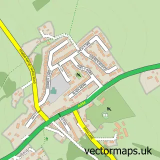
Nearby street map samples around New Brighton

More street maps in Clwyd

750 metre map area coverage
Boundary, postcode and point of interest information for the 750m x 750m rectangle centred on this sample map.
Boundaries containing map centre
Constituency: Clwyd East Co Const
District: Sir y Fflint - Flintshire
Icb: Betsi Cadwaladr University
Parish: Argoed Community
Police Force: north wales
Postcode District: CH7
Postcode Sector: CH7 6
Nearby boundaries intersecting sample
Parish: Northop Community
Postcode coverage
POI category counts
Hotel: 3
Pet Groomer: 2
Amateur Sports Team: 1
Auto Electrical Repair: 1
Cinema: 1
Community Center: 1
Educational Supply Store: 1
Ev Charging Station: 1
Landmark And Historical Building: 1
Park: 1
Sample points of interest
- New Brighton Villa FC
- Sunrise Aerials
- Vue Cheshire Oaks
- New Brighton Community Centre
- Bella's Story Boxes
- bp Pulse
- Adrian Barscy
- Beaufort Park-Hotel
- The Beaufort Park Hotel
- New Brighton, Flintshire
- Loggerheads Country Park
- Tatty Tails Dog Grooming
Create a larger editable map of New Brighton
This sample shows only a 750 metre area. To create a larger map of New Brighton, use our map builder to choose your own coverage area, add titles and download editable SVG, PDF and PNG files.
Create a custom map of New Brighton