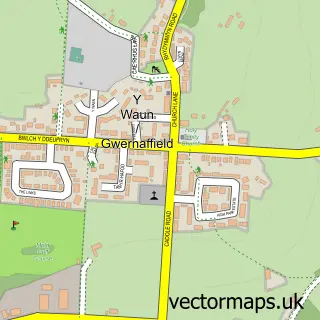
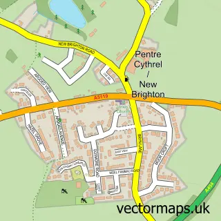
This Gwernymynydd street map is a detailed vector street map covering a 750m x 750m area. Select a larger area to create and download your own vector street map of Gwernymynydd.
The 750-metre map sample for Gwernymynydd covers 242 mapped buildings and approximately 10.0 km of road detail, of which 11 named roads are named. The immediate area includes 1 school, 1 GP surgery within 2 miles, 1 pub and 9 MOT stations within 2 miles. The wider area around Gwernymynydd features 1 food and drink venue. To create a larger or custom map of Gwernymynydd, the map builder lets you define your own coverage area and download editable SVG, PDF and PNG files.
Create a larger editable map of Gwernymynydd
Choose any area you need and generate a high-quality vector map instantly. Perfect for print, planning, design, business and personal use.

This Gwernymynydd street map in Clwyd is available as downloadable SVG, PDF and PNG map files, or as a printed map for planning, business, display, education, local information and design work. You can also create a larger custom map area using the map selector.
What this Gwernymynydd map sample shows
Gwernymynydd lies within Gwernymynydd Community parish, part of Gwernymynydd ward in the Sir Y Fflint - Flintshire local authority area. The postcode geography for this area includes the CH postcode area, the CH7 postcode district and the CH7 4 postcode sector. Residents fall under the Betsi Cadwaladr University Health Board for NHS services.
Local features near Gwernymynydd
Within 2 milesAmenities and services in and around Gwernymynydd.
Administrative and postcode information for Gwernymynydd
Gwernymynydd lies within Gwernymynydd Community parish, part of Gwernymynydd ward in the Sir Y Fflint - Flintshire local authority area. The postcode geography for this area includes the CH postcode area, the CH7 postcode district and the CH7 4 postcode sector. Residents fall under the Betsi Cadwaladr University Health Board for NHS services.
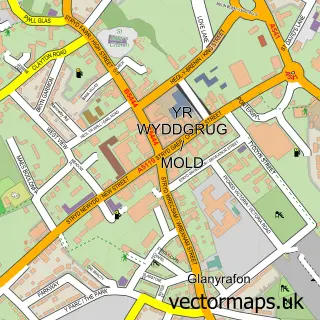
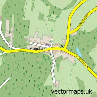
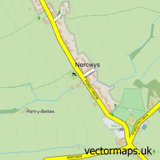
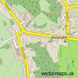
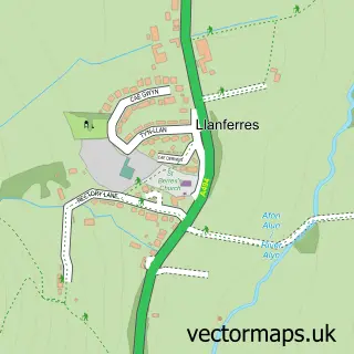
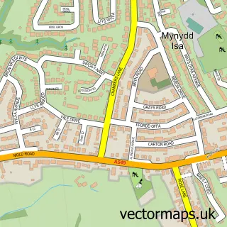
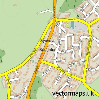
Nearby street map samples around Gwernymynydd

More street maps in Clwyd
750 metre map area coverage
Boundary, postcode and point of interest information for the 750m x 750m rectangle centred on this sample map.
Boundaries containing map centre
Constituency: Clwyd East Co Const
District: Sir y Fflint - Flintshire
Icb: Betsi Cadwaladr University
Parish: Gwernymynydd Community
Police Force: north wales
Postcode District: CH7
Postcode Sector: CH7 4
Nearby boundaries intersecting sample
Postcode Sector: CH7 1, CH7 5
Postcode coverage
POI category counts
Elementary School: 2
Arts And Entertainment: 1
Building Supply Store: 1
Business: 1
Information Technology Company: 1
Janitorial Services: 1
Pub: 1
Sample points of interest
- Gwernymynydd Village Hall
- Drains Today
- DoodlyDog
- Gwernymynydd County Primary School
- Gwernymynydd County Primary School
- Speech Empowered Computing
- Drains Today Ltd.
- The Swan
Create a larger editable map of Gwernymynydd
This sample shows only a 750 metre area. To create a larger map of Gwernymynydd, use our map builder to choose your own coverage area, add titles and download editable SVG, PDF and PNG files.
Create a custom map of Gwernymynydd