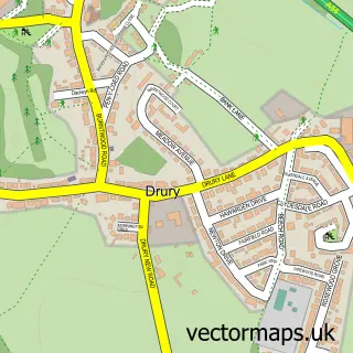
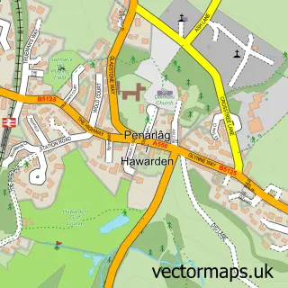
This Burntwood street map is a detailed vector street map covering a 750m x 750m area. Select a larger area to create and download your own vector street map of Burntwood.
The 750-metre map sample for Burntwood covers 294 mapped buildings and approximately 13.8 km of road detail, of which 17 named roads are named. The immediate area includes 2 GP surgeries within 2 miles, 2 pubs and 2 MOT stations, with 13 within 2 miles. The wider area around Burntwood features 2 tourism points of interest and 2 food and drink venues. To create a larger or custom map of Burntwood, the map builder lets you define your own coverage area and download editable SVG, PDF and PNG files.
Create a larger editable map of Burntwood
Choose any area you need and generate a high-quality vector map instantly. Perfect for print, planning, design, business and personal use.

This Burntwood street map in Clwyd is available as downloadable SVG, PDF and PNG map files, or as a printed map for planning, business, display, education, local information and design work. You can also create a larger custom map area using the map selector.
What this Burntwood map sample shows
Burntwood lies within Buckley Community parish, part of Buckley Pentrobin ward in the Sir Y Fflint - Flintshire local authority area. The postcode geography for this area includes the CH postcode area, the CH7 postcode district and the CH7 3 postcode sector. Residents fall under the Betsi Cadwaladr University Health Board for NHS services.
Local features near Burntwood
Within 2 milesAmenities and services in and around Burntwood.
Administrative and postcode information for Burntwood
The local authority covering Burntwood is Sir Y Fflint - Flintshire, within the county of Clwyd. The settlement lies within Buckley Pentrobin ward and Buckley Community civil parish. The CH7 postcode district and CH7 3 postcode sector serve the immediate area. NHS provision in the area is delivered through Betsi Cadwaladr University Health Board.
Nearby street map samples around Burntwood


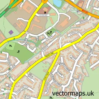
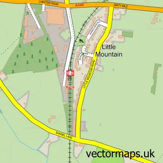
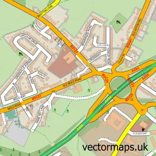
More street maps in Clwyd
750 metre map area coverage
Boundary, postcode and point of interest information for the 750m x 750m rectangle centred on this sample map.
Boundaries containing map centre
Constituency: Alyn and Deeside Co Const
District: Sir y Fflint - Flintshire
Icb: Betsi Cadwaladr University
Parish: Buckley Community
Police Force: north wales
Postcode District: CH7
Postcode Sector: CH7 3
Nearby boundaries intersecting sample
Parish: Hawarden Community
Postcode District: CH5
Postcode Sector: CH5 3
Postcode coverage
POI category counts
Building Supply Store: 4
Auto Body Shop: 2
Automotive Repair: 2
Beauty Salon: 2
Industrial Equipment: 2
Monument: 2
Park: 2
Pub: 2
Roofing: 2
Accommodation: 1
Sample points of interest
- Drury
- Drury Wholesale
- Mary Saifelden Art
- Aurora Refinishing Ltd
- Graham Eyton Body Repairs
- Dee Auto Services
- Flintshire Truck and Bus
- Lexis Home Improvements
- Bliss Hair Design
- Deeside Saw Co
- A M Joinery Contractors
- Celsius Energy
Create a larger editable map of Burntwood
This sample shows only a 750 metre area. To create a larger map of Burntwood, use our map builder to choose your own coverage area, add titles and download editable SVG, PDF and PNG files.
Create a custom map of Burntwood