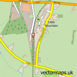
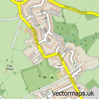
This Pen-y-ffordd street map is a detailed vector street map covering a 750m x 750m area. Select a larger area to create and download your own vector street map of Pen-y-ffordd.
The 750-metre map sample for Pen-y-ffordd covers 440 mapped buildings and approximately 16.3 km of road detail, of which 36 named roads are named. The immediate area includes 3 pubs and 4 MOT stations within 2 miles. The wider area around Pen-y-ffordd features 5 food and drink venues. To create a larger or custom map of Pen-y-ffordd, the map builder lets you define your own coverage area and download editable SVG, PDF and PNG files.
Create a larger editable map of Pen-y-ffordd
Choose any area you need and generate a high-quality vector map instantly. Perfect for print, planning, design, business and personal use.

This Pen-y-ffordd street map in Clwyd is available as downloadable SVG, PDF and PNG map files, or as a printed map for planning, business, display, education, local information and design work. You can also create a larger custom map area using the map selector.
What this Pen-y-ffordd map sample shows
Pen-y-ffordd lies within Penyffordd Community parish, part of Penyffordd ward in the Sir Y Fflint - Flintshire local authority area. The postcode geography for this area includes the CH postcode area, the CH4 postcode district and the CH4 0 postcode sector. Residents fall under the Betsi Cadwaladr University Health Board for NHS services.
Local features near Pen-y-ffordd
Within 2 milesAmenities and services in and around Pen-y-ffordd.
Administrative and postcode information for Pen-y-ffordd
The local authority covering Pen-y-ffordd is Sir Y Fflint - Flintshire, within the county of Clwyd. The settlement lies within Penyffordd ward and Penyffordd Community civil parish. The CH4 postcode district and CH4 0 postcode sector serve the immediate area. NHS provision in the area is delivered through Betsi Cadwaladr University Health Board.
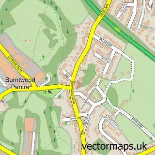
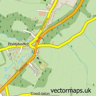
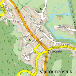
Nearby street map samples around Pen-y-ffordd


More street maps in Clwyd
750 metre map area coverage
Boundary, postcode and point of interest information for the 750m x 750m rectangle centred on this sample map.
Boundaries containing map centre
Constituency: Alyn and Deeside Co Const
District: Sir y Fflint - Flintshire
Icb: Betsi Cadwaladr University
Parish: Penyffordd Community
Police Force: north wales
Postcode District: CH4
Postcode Sector: CH4 0
Nearby boundaries intersecting sample
No additional intersecting boundaries found.
Postcode coverage
POI category counts
Pub: 3
Gym: 2
Professional Services: 2
Arts And Entertainment: 1
Automotive Repair: 1
Bathroom Remodeling: 1
Beauty And Spa: 1
Beauty Salon: 1
Business: 1
Butcher Shop: 1
Sample points of interest
- Beckwith & Fuller Events
- Village Motors
- DNA Bathrooms
- Hair By Kate
- Carol Ann Hair Studio
- Game of Roads
- Baker and Roberts Craft Butchers
- Coffee King Mobile Cafe
- Co-op Food
- Metapwr Personal Training
- Millstone Play Area
- Rakotta Hair Studio
Create a larger editable map of Pen-y-ffordd
This sample shows only a 750 metre area. To create a larger map of Pen-y-ffordd, use our map builder to choose your own coverage area, add titles and download editable SVG, PDF and PNG files.
Create a custom map of Pen-y-ffordd