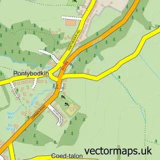
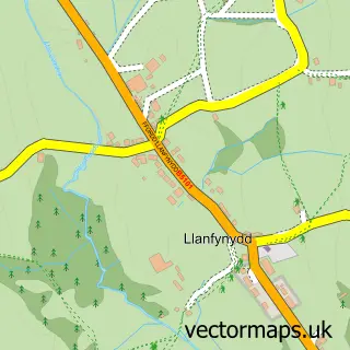
This Leeswood street map is a detailed vector street map covering a 750m x 750m area. Select a larger area to create and download your own vector street map of Leeswood.
The 750-metre map sample for Leeswood covers 281 mapped buildings and approximately 13.8 km of road detail, of which 30 named roads are named. The immediate area includes 1 MOT station within 2 miles. To create a larger or custom map of Leeswood, the map builder lets you define your own coverage area and download editable SVG, PDF and PNG files.
Create a larger editable map of Leeswood
Choose any area you need and generate a high-quality vector map instantly. Perfect for print, planning, design, business and personal use.

This Leeswood street map in Clwyd is available as downloadable SVG, PDF and PNG map files, or as a printed map for planning, business, display, education, local information and design work. You can also create a larger custom map area using the map selector.
What this Leeswood map sample shows
Leeswood lies within Leeswood And Pontblyddyn Community parish, part of Leeswood ward in the Sir Y Fflint - Flintshire local authority area. The postcode geography for this area includes the CH postcode area, the CH7 postcode district and the CH7 4 postcode sector. Residents fall under the Betsi Cadwaladr University Health Board for NHS services.
Local features near Leeswood
Within 2 milesAmenities and services in and around Leeswood.
Administrative and postcode information for Leeswood
Leeswood lies within Leeswood And Pontblyddyn Community parish, part of Leeswood ward in the Sir Y Fflint - Flintshire local authority area. The postcode geography for this area includes the CH postcode area, the CH7 postcode district and the CH7 4 postcode sector. Residents fall under the Betsi Cadwaladr University Health Board for NHS services.
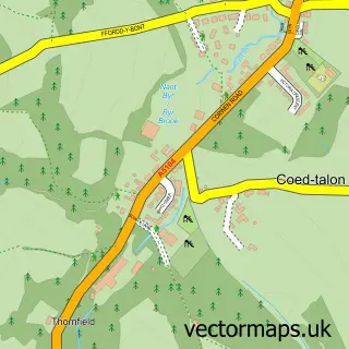
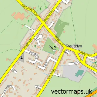
Nearby street map samples around Leeswood


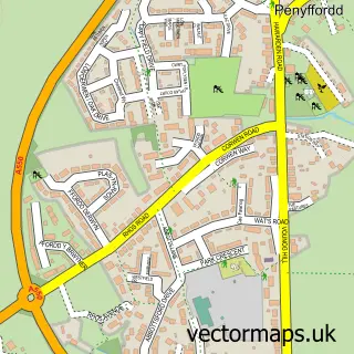
More street maps in Clwyd
750 metre map area coverage
Boundary, postcode and point of interest information for the 750m x 750m rectangle centred on this sample map.
Boundaries containing map centre
Constituency: Clwyd East Co Const
District: Sir y Fflint - Flintshire
Icb: Betsi Cadwaladr University
Parish: Leeswood and Pontblyddyn Community
Police Force: north wales
Postcode District: CH7
Postcode Sector: CH7 4
Nearby boundaries intersecting sample
No additional intersecting boundaries found.
Postcode coverage
POI category counts
Automotive: 1
Building Supply Store: 1
Dj Service: 1
Furniture Store: 1
Massage Therapy: 1
Poultry Farm: 1
Printing Services: 1
Sewing And Alterations: 1
Sports Club And League: 1
Web Designer: 1
Sample points of interest
- Priceless Mobile Car Valeting
- Just Shutters N.E Wales, Wirral & Cheshire
- Jam Entertainment
- Odd Job John
- Trust
- Roost Farm
- 65 liquidation & bankruptcy store
- Clair's Sewing Services
- Leeswood Bowling Club
- J-D Design
Create a larger editable map of Leeswood
This sample shows only a 750 metre area. To create a larger map of Leeswood, use our map builder to choose your own coverage area, add titles and download editable SVG, PDF and PNG files.
Create a custom map of Leeswood