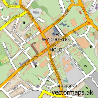
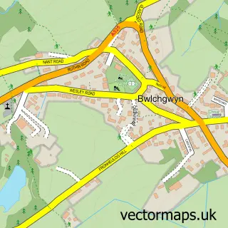
This Treuddyn street map is a detailed vector street map covering a 750m x 750m area. Select a larger area to create and download your own vector street map of Treuddyn.
The 750-metre map sample for Treuddyn covers 284 mapped buildings and approximately 12.9 km of road detail, of which 17 named roads are named. The immediate area includes 2 schools and 2 MOT stations within 2 miles. To create a larger or custom map of Treuddyn, the map builder lets you define your own coverage area and download editable SVG, PDF and PNG files.
Create a larger editable map of Treuddyn
Choose any area you need and generate a high-quality vector map instantly. Perfect for print, planning, design, business and personal use.

This Treuddyn street map in Clwyd is available as downloadable SVG, PDF and PNG map files, or as a printed map for planning, business, display, education, local information and design work. You can also create a larger custom map area using the map selector.
What this Treuddyn map sample shows
Treuddyn lies within Treuddyn Community parish, part of Treuddyn ward in the Sir Y Fflint - Flintshire local authority area. The postcode geography for this area includes the CH postcode area, the CH7 postcode district and the CH7 4 postcode sector. Residents fall under the Betsi Cadwaladr University Health Board for NHS services.
Local features near Treuddyn
Within 2 milesAmenities and services in and around Treuddyn.
Administrative and postcode information for Treuddyn
The local authority covering Treuddyn is Sir Y Fflint - Flintshire, within the county of Clwyd. The settlement lies within Treuddyn ward and Treuddyn Community civil parish. The CH7 postcode district and CH7 4 postcode sector serve the immediate area. NHS provision in the area is delivered through Betsi Cadwaladr University Health Board.
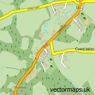
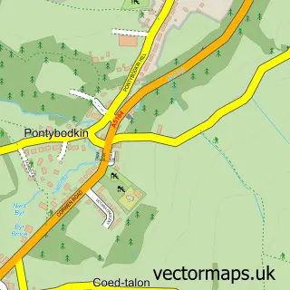
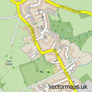
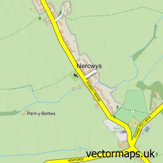
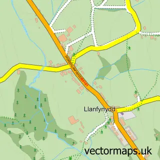
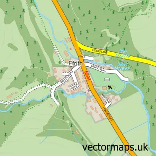
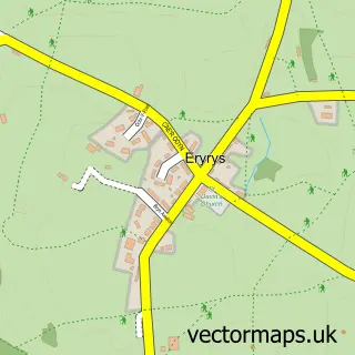
Nearby street map samples around Treuddyn

More street maps in Clwyd
750 metre map area coverage
Boundary, postcode and point of interest information for the 750m x 750m rectangle centred on this sample map.
Boundaries containing map centre
Constituency: Alyn and Deeside Co Const
District: Sir y Fflint - Flintshire
Icb: Betsi Cadwaladr University
Parish: Treuddyn Community
Police Force: north wales
Postcode District: CH7
Postcode Sector: CH7 4
Nearby boundaries intersecting sample
No additional intersecting boundaries found.
Postcode coverage
POI category counts
Post Office: 2
Arts And Crafts: 1
Building Supply Store: 1
Community Center: 1
Counseling And Mental Health: 1
Dairy Farm: 1
Education: 1
Elementary School: 1
Food Delivery Service: 1
Home Service: 1
Sample points of interest
- Micary Embroidery Services
- Guy Plant Hire
- Treuddyn Village Hall
- Sandra Jones Counselling Services
- Llaeth Carreg Milk
- Ysgol Terrig
- Ysgol Parc Y Llan
- Home Grown Happiness
- Teigrod Terrig Tigers
- Forgetmedot
- Salisbury Gardens
- Queens Street
Create a larger editable map of Treuddyn
This sample shows only a 750 metre area. To create a larger map of Treuddyn, use our map builder to choose your own coverage area, add titles and download editable SVG, PDF and PNG files.
Create a custom map of Treuddyn