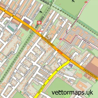
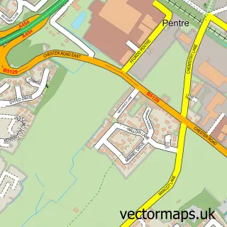
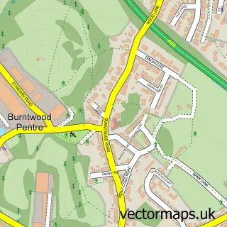
This Hawarden street map is a detailed vector street map covering a 750m x 750m area. Select a larger area to create and download your own vector street map of Hawarden.
The 750-metre map sample for Hawarden covers 213 mapped buildings and approximately 12.4 km of road detail, of which 23 named roads are named. The immediate area includes 1 railway station, 1 pub and 21 MOT stations within 2 miles. The wider area around Hawarden features 1 tourism point of interest and 4 food and drink venues. To create a larger or custom map of Hawarden, the map builder lets you define your own coverage area and download editable SVG, PDF and PNG files.
Create a larger editable map of Hawarden
Choose any area you need and generate a high-quality vector map instantly. Perfect for print, planning, design, business and personal use.

This Hawarden street map in Clwyd is available as downloadable SVG, PDF and PNG map files, or as a printed map for planning, business, display, education, local information and design work. You can also create a larger custom map area using the map selector.
What this Hawarden map sample shows
Hawarden lies within Hawarden Community parish, part of Hawarden ward in the Sir Y Fflint - Flintshire local authority area. The postcode geography for this area includes the CH postcode area, the CH5 postcode district and the CH5 3 postcode sector. Residents fall under the Betsi Cadwaladr University Health Board for NHS services.
Local features near Hawarden
Within 2 milesAmenities and services in and around Hawarden.
Administrative and postcode information for Hawarden
Hawarden lies within Hawarden Community parish, part of Hawarden ward in the Sir Y Fflint - Flintshire local authority area. The postcode geography for this area includes the CH postcode area, the CH5 postcode district and the CH5 3 postcode sector. Residents fall under the Betsi Cadwaladr University Health Board for NHS services.
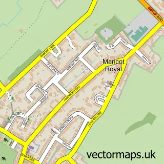
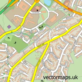
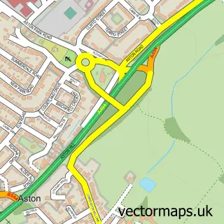
Nearby street map samples around Hawarden

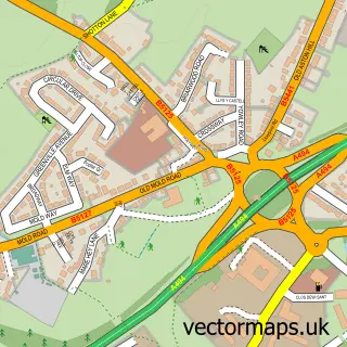
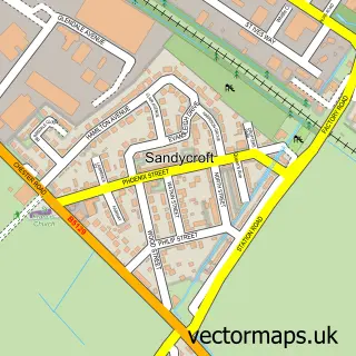
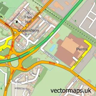
More street maps in Clwyd
750 metre map area coverage
Boundary, postcode and point of interest information for the 750m x 750m rectangle centred on this sample map.
Boundaries containing map centre
Constituency: Alyn and Deeside Co Const
District: Sir y Fflint - Flintshire
Icb: Betsi Cadwaladr University
Parish: Hawarden Community
Police Force: north wales
Postcode District: CH5
Postcode Sector: CH5 3
Nearby boundaries intersecting sample
Postcode Sector: CH5 2
Postcode coverage
POI category counts
Library: 4
Naturopathic Holistic: 3
Banks: 2
Beauty Salon: 2
Clothing Store: 2
Community Center: 2
Cosmetic And Beauty Supplies: 2
Financial Advising: 2
Hair Salon: 2
Home Service: 2
Sample points of interest
- Adlink
- St. Deiniol Bier House
- Ainsley Gommon Architects Ltd.
- Charcoal Gallery
- Ian Rogers Bodyshop LTD
- HSBC Bank
- Lloyds Bank
- Rebecca Ward Mobile Barbering
- The Skin Clinic - Hawarden
- Divine Make Up
- Hairbykayleigh
- Serenity Skincare
Create a larger editable map of Hawarden
This sample shows only a 750 metre area. To create a larger map of Hawarden, use our map builder to choose your own coverage area, add titles and download editable SVG, PDF and PNG files.
Create a custom map of Hawarden