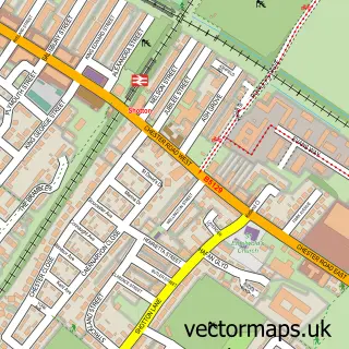
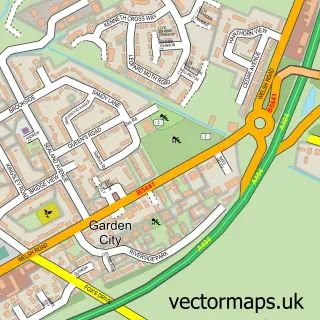
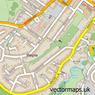
This Queensferry street map is a detailed vector street map covering a 750m x 750m area. Select a larger area to create and download your own vector street map of Queensferry.
The 750-metre map sample for Queensferry covers 227 mapped buildings and approximately 17.7 km of road detail, of which 23 named roads are named. The immediate area includes 3 MOT stations, with 20 within 2 miles. The wider area around Queensferry features 1 tourism point of interest and 7 food and drink venues. To create a larger or custom map of Queensferry, the map builder lets you define your own coverage area and download editable SVG, PDF and PNG files.
Create a larger editable map of Queensferry
Choose any area you need and generate a high-quality vector map instantly. Perfect for print, planning, design, business and personal use.

This Queensferry street map in Clwyd is available as downloadable SVG, PDF and PNG map files, or as a printed map for planning, business, display, education, local information and design work. You can also create a larger custom map area using the map selector.
What this Queensferry map sample shows
Queensferry lies within Queensferry Community parish, part of Queensferry ward in the Sir Y Fflint - Flintshire local authority area. The postcode geography for this area includes the CH postcode area, the CH5 postcode district and the CH5 1 postcode sector. Residents fall under the Betsi Cadwaladr University Health Board for NHS services.
Local features near Queensferry
Within 2 milesAmenities and services in and around Queensferry.
Administrative and postcode information for Queensferry
The local authority covering Queensferry is Sir Y Fflint - Flintshire, within the county of Clwyd. The settlement lies within Queensferry ward and Queensferry Community civil parish. The CH5 postcode district and CH5 1 postcode sector serve the immediate area. NHS provision in the area is delivered through Betsi Cadwaladr University Health Board.
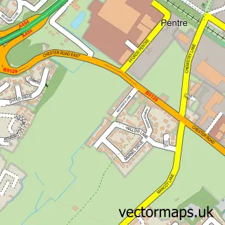
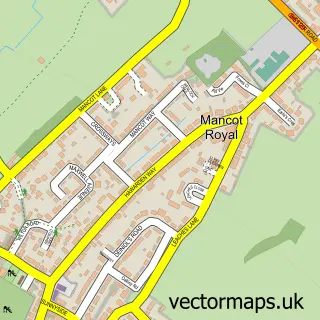
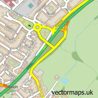
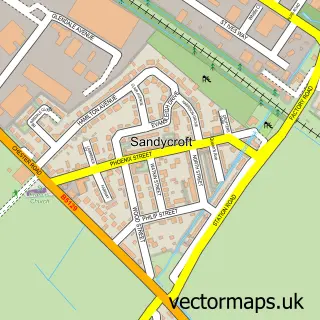
Nearby street map samples around Queensferry

More street maps in Clwyd
750 metre map area coverage
Boundary, postcode and point of interest information for the 750m x 750m rectangle centred on this sample map.
Boundaries containing map centre
Constituency: Alyn and Deeside Co Const
District: Sir y Fflint - Flintshire
Icb: Betsi Cadwaladr University
Parish: Queensferry Community
Police Force: north wales
Postcode District: CH5
Postcode Sector: CH5 1
Nearby boundaries intersecting sample
Parish: Hawarden Community, Shotton Community
Postcode Sector: CH5 2
Postcode coverage
POI category counts
Automotive Repair: 6
Beauty Salon: 6
Gym: 5
Pizza Restaurant: 4
Professional Services: 4
Restaurant: 4
Appliance Store: 3
Banks: 3
Beauty And Spa: 3
Dentist: 3
Sample points of interest
- Signs Express Chester
- Appliances at Butlers
- Butlers - The Kitchen Appliance Specialists
- Butlers Kitchens
- Ambia Indian & Bangladeshi Takeaway
- Ferry Community Garden
- Nick Auto Detailing
- Queensferry Tyre & Exhaust Centre
- Checkpoint
- Checkpoint Service Centre
- Connah's Quay Testing Station
- HiQ Tyres
Create a larger editable map of Queensferry
This sample shows only a 750 metre area. To create a larger map of Queensferry, use our map builder to choose your own coverage area, add titles and download editable SVG, PDF and PNG files.
Create a custom map of Queensferry