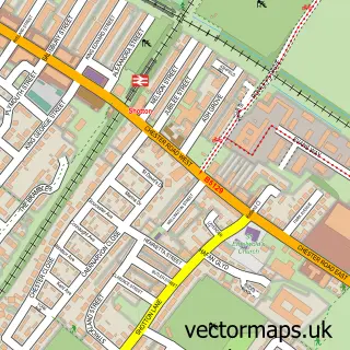
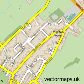
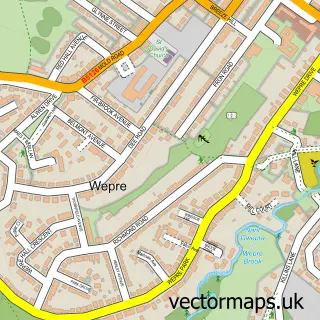
This Garden City street map is a detailed vector street map covering a 750m x 750m area. Select a larger area to create and download your own vector street map of Garden City.
The 750-metre map sample for Garden City covers 384 mapped buildings and approximately 17.3 km of road detail, of which 23 named roads are named. The immediate area includes 1 school and 17 MOT stations within 2 miles. The wider area around Garden City features 1 food and drink venue. To create a larger or custom map of Garden City, the map builder lets you define your own coverage area and download editable SVG, PDF and PNG files.
Create a larger editable map of Garden City
Choose any area you need and generate a high-quality vector map instantly. Perfect for print, planning, design, business and personal use.

This Garden City street map in Clwyd is available as downloadable SVG, PDF and PNG map files, or as a printed map for planning, business, display, education, local information and design work. You can also create a larger custom map area using the map selector.
What this Garden City map sample shows
Garden City lies within Queensferry Community parish, part of Queensferry ward in the Sir Y Fflint - Flintshire local authority area. The postcode geography for this area includes the CH postcode area, the CH5 postcode district and the CH5 1 postcode sector. Residents fall under the Betsi Cadwaladr University Health Board for NHS services.
Local features near Garden City
Within 2 milesAmenities and services in and around Garden City.
Administrative and postcode information for Garden City
Garden City lies within Queensferry Community parish, part of Queensferry ward in the Sir Y Fflint - Flintshire local authority area. The postcode geography for this area includes the CH postcode area, the CH5 postcode district and the CH5 1 postcode sector. Residents fall under the Betsi Cadwaladr University Health Board for NHS services.
Nearby street map samples around Garden City

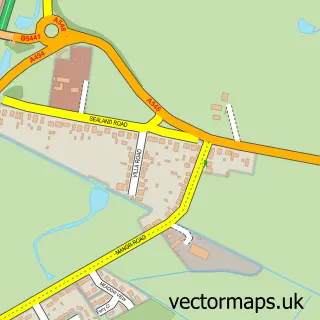
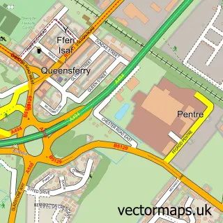
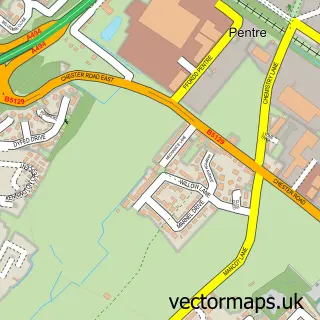
More street maps in Clwyd
750 metre map area coverage
Boundary, postcode and point of interest information for the 750m x 750m rectangle centred on this sample map.
Boundaries containing map centre
Constituency: Alyn and Deeside Co Const
District: Sir y Fflint - Flintshire
Icb: Betsi Cadwaladr University
Parish: Sealand Community
Police Force: north wales
Postcode District: CH5
Postcode Sector: CH5 2
Nearby boundaries intersecting sample
No additional intersecting boundaries found.
Postcode coverage
POI category counts
Professional Services: 4
Automotive Repair: 3
Automotive: 2
Convenience Store: 2
Online Shop: 2
Asian Restaurant: 1
Atms: 1
Auto Body Shop: 1
Automotive Parts And Accessories: 1
Bar: 1
Sample points of interest
- The Amantola - Indian Restaurant and Bar
- BR Spar Garden City (P77 POD), Garden City
- Spraycraft Deeside Ltd.
- A&M Conversions
- DSD Motors and TYRES
- North Wales Radiators
- Andy's SMART Works
- Auto Defiance
- R D S
- Hotel Leprechaun
- CorbettSports
- Butler Builders
Create a larger editable map of Garden City
This sample shows only a 750 metre area. To create a larger map of Garden City, use our map builder to choose your own coverage area, add titles and download editable SVG, PDF and PNG files.
Create a custom map of Garden City