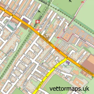
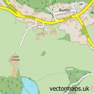
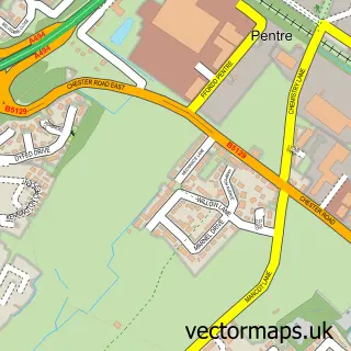
This Shotwick street map is a detailed vector street map covering a 750m x 750m area. Select a larger area to create and download your own vector street map of Shotwick.
The 750-metre map sample for Shotwick covers 31 mapped buildings and approximately 6.6 km of road detail, of which 2 named roads are named. The immediate area includes 4 MOT stations within 2 miles. The wider area around Shotwick features 1 tourism point of interest and 1 campsite within 2 miles. To create a larger or custom map of Shotwick, the map builder lets you define your own coverage area and download editable SVG, PDF and PNG files.
Create a larger editable map of Shotwick
Choose any area you need and generate a high-quality vector map instantly. Perfect for print, planning, design, business and personal use.

This Shotwick street map in Cheshire is available as downloadable SVG, PDF and PNG map files, or as a printed map for planning, business, display, education, local information and design work. You can also create a larger custom map area using the map selector.
What this Shotwick map sample shows
Shotwick lies within Puddington Cp parish, part of Saughall & Mollington ward in the Cheshire West And Chester (B) local authority area. The postcode geography for this area includes the CH postcode area, the CH1 postcode district and the CH1 6 postcode sector. Residents fall under the Nhs Cheshire And Merseyside Integrated Care Board for NHS services.
Local features near Shotwick
Within 2 milesAmenities and services in and around Shotwick.
Administrative and postcode information for Shotwick
Shotwick lies within Puddington Cp parish, part of Saughall & Mollington ward in the Cheshire West And Chester (B) local authority area. The postcode geography for this area includes the CH postcode area, the CH1 postcode district and the CH1 6 postcode sector. Residents fall under the Nhs Cheshire And Merseyside Integrated Care Board for NHS services.
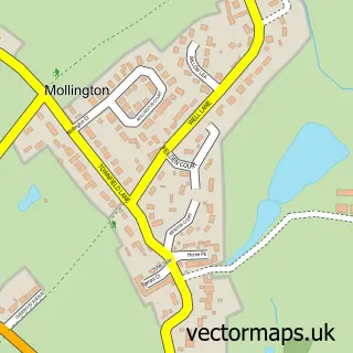
Nearby street map samples around Shotwick

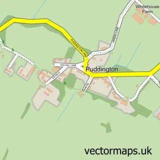
More street maps in Cheshire
750 metre map area coverage
Boundary, postcode and point of interest information for the 750m x 750m rectangle centred on this sample map.
Boundaries containing map centre
Constituency: Chester North and Neston Co Const
District: Cheshire West and Chester (B)
Icb: NHS Cheshire and Merseyside ICB
Parish: Puddington CP
Police Force: cheshire
Postcode District: CH1
Postcode Sector: CH1 6
Ward: Saughall & Mollington Ward
Nearby boundaries intersecting sample
Icb: Betsi Cadwaladr University
Police Force: north wales
Postcode District: CH5, CH64
Postcode Sector: CH5 2, CH64 5
Postcode coverage
POI category counts
Church Cathedral: 2
Landmark And Historical Building: 1
Metal Fabricator: 1
Sample points of interest
- St Michael's Church
- St. Paul's Church, Helsby Cheshire
- Shotwick Hall
- Modern Ironage Designs
Create a larger editable map of Shotwick
This sample shows only a 750 metre area. To create a larger map of Shotwick, use our map builder to choose your own coverage area, add titles and download editable SVG, PDF and PNG files.
Create a custom map of Shotwick