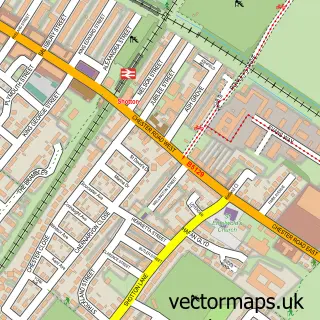
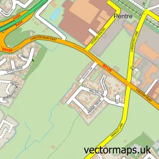
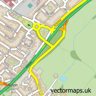
This Sealand street map is a detailed vector street map covering a 750m x 750m area. Select a larger area to create and download your own vector street map of Sealand.
The 750-metre map sample for Sealand covers 155 mapped buildings and approximately 10.1 km of road detail, of which 6 named roads are named. The immediate area includes 16 MOT stations within 2 miles. To create a larger or custom map of Sealand, the map builder lets you define your own coverage area and download editable SVG, PDF and PNG files.
Create a larger editable map of Sealand
Choose any area you need and generate a high-quality vector map instantly. Perfect for print, planning, design, business and personal use.

This Sealand street map in Clwyd is available as downloadable SVG, PDF and PNG map files, or as a printed map for planning, business, display, education, local information and design work. You can also create a larger custom map area using the map selector.
What this Sealand map sample shows
Sealand lies within Sealand Community parish, part of Sealand ward in the Sir Y Fflint - Flintshire local authority area. The postcode geography for this area includes the CH postcode area, the CH5 postcode district and the CH5 2 postcode sector. Residents fall under the Betsi Cadwaladr University Health Board for NHS services.
Local features near Sealand
Within 2 milesAmenities and services in and around Sealand.
Administrative and postcode information for Sealand
Sealand lies within Sealand Community parish, part of Sealand ward in the Sir Y Fflint - Flintshire local authority area. The postcode geography for this area includes the CH postcode area, the CH5 postcode district and the CH5 2 postcode sector. Residents fall under the Betsi Cadwaladr University Health Board for NHS services.
Nearby street map samples around Sealand

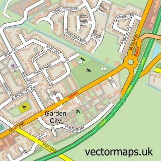
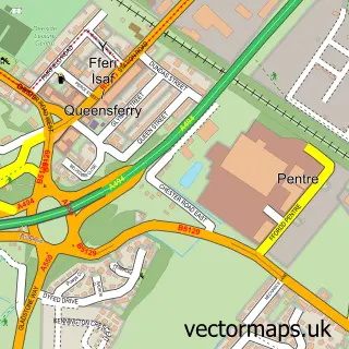
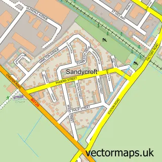
More street maps in Clwyd
750 metre map area coverage
Boundary, postcode and point of interest information for the 750m x 750m rectangle centred on this sample map.
Boundaries containing map centre
Constituency: Alyn and Deeside Co Const
District: Sir y Fflint - Flintshire
Icb: Betsi Cadwaladr University
Parish: Sealand Community
Police Force: north wales
Postcode District: CH5
Postcode Sector: CH5 2
Nearby boundaries intersecting sample
No additional intersecting boundaries found.
Postcode coverage
POI category counts
Professional Services: 2
Building Supply Store: 1
Contractor: 1
Convenience Store: 1
Fair: 1
Flowers And Gifts Shop: 1
Furniture Manufacturers: 1
Garbage Collection Service: 1
Home Service: 1
Laboratory Testing: 1
Sample points of interest
- John Garner Flooring
- Steve King Kitchens
- SPAR Euro Garage Deeside
- North Wales Shooting School
- Wild Blodyn Florist
- Megasheds Chester
- Gordon & Woodcock House Clearances
- Gordon Woodcock Houseclearances
- Alcontrol Laboratories
- Voyage Branding
- Andy's Plants Garden Centre
- R J Parry Joinery
Create a larger editable map of Sealand
This sample shows only a 750 metre area. To create a larger map of Sealand, use our map builder to choose your own coverage area, add titles and download editable SVG, PDF and PNG files.
Create a custom map of Sealand