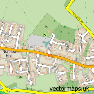
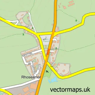
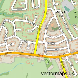
This Northop street map is a detailed vector street map covering a 750m x 750m area. Select a larger area to create and download your own vector street map of Northop.
The 750-metre map sample for Northop covers 222 mapped buildings and approximately 11.5 km of road detail, of which 15 named roads are named. The immediate area includes 1 school, 4 pubs and 1 MOT station, with 2 within 2 miles. The wider area around Northop features 4 food and drink venues. To create a larger or custom map of Northop, the map builder lets you define your own coverage area and download editable SVG, PDF and PNG files.
Create a larger editable map of Northop
Choose any area you need and generate a high-quality vector map instantly. Perfect for print, planning, design, business and personal use.

This Northop street map in Clwyd is available as downloadable SVG, PDF and PNG map files, or as a printed map for planning, business, display, education, local information and design work. You can also create a larger custom map area using the map selector.
What this Northop map sample shows
Northop lies within Northop Community parish, part of Northop ward in the Sir Y Fflint - Flintshire local authority area. The postcode geography for this area includes the CH postcode area, the CH7 postcode district and the CH7 6 postcode sector. Residents fall under the Betsi Cadwaladr University Health Board for NHS services.
Local features near Northop
Within 2 milesAmenities and services in and around Northop.
Administrative and postcode information for Northop
The local authority covering Northop is Sir Y Fflint - Flintshire, within the county of Clwyd. The settlement lies within Northop ward and Northop Community civil parish. The CH7 postcode district and CH7 6 postcode sector serve the immediate area. NHS provision in the area is delivered through Betsi Cadwaladr University Health Board.
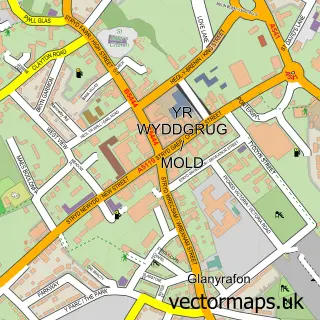
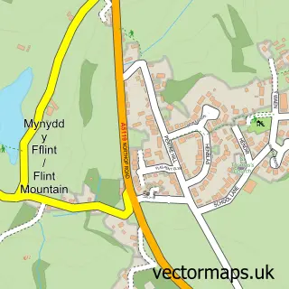
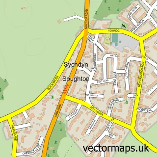
Nearby street map samples around Northop

More street maps in Clwyd
750 metre map area coverage
Boundary, postcode and point of interest information for the 750m x 750m rectangle centred on this sample map.
Boundaries containing map centre
Constituency: Clwyd East Co Const
District: Sir y Fflint - Flintshire
Icb: Betsi Cadwaladr University
Parish: Northop Community
Police Force: north wales
Postcode District: CH7
Postcode Sector: CH7 6
Nearby boundaries intersecting sample
No additional intersecting boundaries found.
Postcode coverage
POI category counts
Pub: 4
Bridal Shop: 2
Building Supply Store: 2
Elementary School: 2
Architect: 1
Automotive Repair: 1
Bar: 1
Bed And Breakfast: 1
Caterer: 1
Church Cathedral: 1
Sample points of interest
- Hunter Architects & Planners
- Brookfield Garage
- Red lion front bar
- Plymouth House
- Karen Lesley
- Karen Lesley Bridal
- David Wood Damp & Timber Treatments
- Hunter Architects & Planners
- The Flintshire Street Food Company
- St Eurgain and St Peter's Church
- David Wood Damp & Timber Treatments
- Northop Cricket Club
Create a larger editable map of Northop
This sample shows only a 750 metre area. To create a larger map of Northop, use our map builder to choose your own coverage area, add titles and download editable SVG, PDF and PNG files.
Create a custom map of Northop