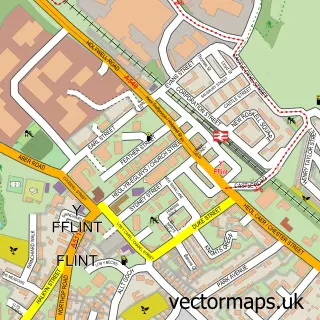
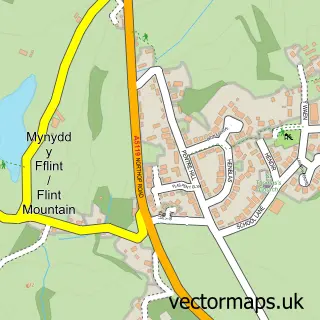
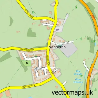
This Halkyn street map is a detailed vector street map covering a 750m x 750m area. Select a larger area to create and download your own vector street map of Halkyn.
The 750-metre map sample for Halkyn covers 168 mapped buildings and approximately 9.3 km of road detail, of which 1 named road are named. The immediate area includes 1 pub and 2 MOT stations within 2 miles. The wider area around Halkyn features 1 food and drink venue and 1 campsite within 2 miles. To create a larger or custom map of Halkyn, the map builder lets you define your own coverage area and download editable SVG, PDF and PNG files.
Create a larger editable map of Halkyn
Choose any area you need and generate a high-quality vector map instantly. Perfect for print, planning, design, business and personal use.

This Halkyn street map in Clwyd is available as downloadable SVG, PDF and PNG map files, or as a printed map for planning, business, display, education, local information and design work. You can also create a larger custom map area using the map selector.
What this Halkyn map sample shows
Halkyn lies within Halkyn Community parish, part of Halkyn ward in the Sir Y Fflint - Flintshire local authority area. The postcode geography for this area includes the CH postcode area, the CH8 postcode district and the CH8 8 postcode sector. Residents fall under the Betsi Cadwaladr University Health Board for NHS services.
Local features near Halkyn
Within 2 milesAmenities and services in and around Halkyn.
Administrative and postcode information for Halkyn
Halkyn lies within Halkyn Community parish, part of Halkyn ward in the Sir Y Fflint - Flintshire local authority area. The postcode geography for this area includes the CH postcode area, the CH8 postcode district and the CH8 8 postcode sector. Residents fall under the Betsi Cadwaladr University Health Board for NHS services.
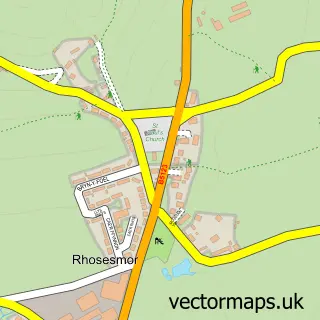
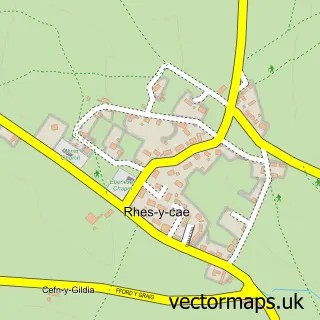
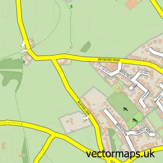
Nearby street map samples around Halkyn

More street maps in Clwyd
750 metre map area coverage
Boundary, postcode and point of interest information for the 750m x 750m rectangle centred on this sample map.
Boundaries containing map centre
Constituency: Clwyd East Co Const
District: Sir y Fflint - Flintshire
Icb: Betsi Cadwaladr University
Parish: Halkyn Community
Police Force: north wales
Postcode District: CH8
Postcode Sector: CH8 8
Nearby boundaries intersecting sample
No additional intersecting boundaries found.
Postcode coverage
POI category counts
Mountain: 2
Beauty Salon: 1
Community Services Non Profits: 1
Corporate Office: 1
Pet Services: 1
Post Office: 1
Pub: 1
Sample points of interest
- All That Glitters
- Heartfelt Art and Craft Fair
- Pump It Ltd.
- Halkyn Mountain
- Halkyn Mountain
- Willerby Warren
- Halkyn Mobile Post Office
- Blue Bell Inn
Create a larger editable map of Halkyn
This sample shows only a 750 metre area. To create a larger map of Halkyn, use our map builder to choose your own coverage area, add titles and download editable SVG, PDF and PNG files.
Create a custom map of Halkyn