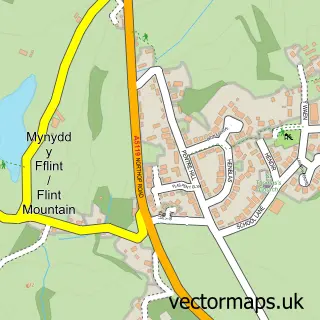
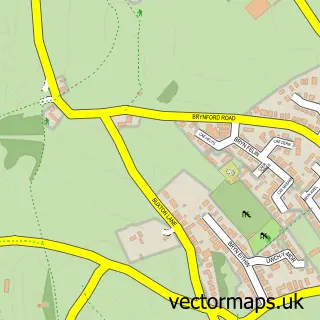
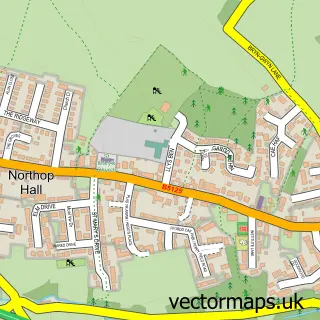
This Flint street map is a detailed vector street map covering a 750m x 750m area. Select a larger area to create and download your own vector street map of Flint.
The 750-metre map sample for Flint covers 321 mapped buildings and approximately 21.2 km of road detail, of which 46 named roads are named. The immediate area includes 1 railway station, 8 pubs and 5 MOT stations within 2 miles. The wider area around Flint features 4 tourism points of interest, 19 food and drink venues and 1 hotel. To create a larger or custom map of Flint, the map builder lets you define your own coverage area and download editable SVG, PDF and PNG files.
Create a larger editable map of Flint
Choose any area you need and generate a high-quality vector map instantly. Perfect for print, planning, design, business and personal use.

This Flint street map in Clwyd is available as downloadable SVG, PDF and PNG map files, or as a printed map for planning, business, display, education, local information and design work. You can also create a larger custom map area using the map selector.
What this Flint map sample shows
Flint lies within Flint Community parish, part of Flint Castle ward in the Sir Y Fflint - Flintshire local authority area. The postcode geography for this area includes the CH postcode area, the CH6 postcode district and the CH6 5 postcode sector. Residents fall under the Betsi Cadwaladr University Health Board for NHS services.
Local features near Flint
Within 2 milesAmenities and services in and around Flint.
Administrative and postcode information for Flint
The local authority covering Flint is Sir Y Fflint - Flintshire, within the county of Clwyd. The settlement lies within Flint Castle ward and Flint Community civil parish. The CH6 postcode district and CH6 5 postcode sector serve the immediate area. NHS provision in the area is delivered through Betsi Cadwaladr University Health Board.
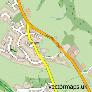
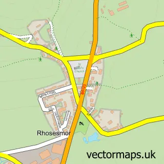
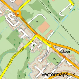
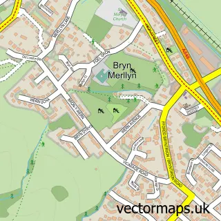
Nearby street map samples around Flint

More street maps in Clwyd
750 metre map area coverage
Boundary, postcode and point of interest information for the 750m x 750m rectangle centred on this sample map.
Boundaries containing map centre
Constituency: Alyn and Deeside Co Const
District: Sir y Fflint - Flintshire
Icb: Betsi Cadwaladr University
Parish: Flint Community
Police Force: north wales
Postcode District: CH6
Postcode Sector: CH6 5
Nearby boundaries intersecting sample
No additional intersecting boundaries found.
Postcode coverage
POI category counts
Beauty Salon: 14
Hair Salon: 9
Discount Store: 8
Pub: 8
Banks: 6
Barber: 5
Church Cathedral: 5
Coffee Shop: 5
Gym: 5
Retail: 5
Sample points of interest
- Geematics
- Beresford Adams
- Flintshire Appliances
- Iceland Supermarket Flint
- Carelink
- ATM (Post Office)
- Hotwires
- VRS Flint
- Ultimate Nutrition Supplies
- Greggs
- Sayers the Bakers
- Barclays Bank
Create a larger editable map of Flint
This sample shows only a 750 metre area. To create a larger map of Flint, use our map builder to choose your own coverage area, add titles and download editable SVG, PDF and PNG files.
Create a custom map of Flint