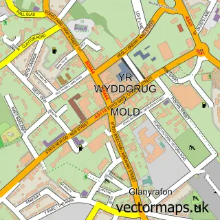
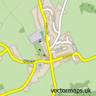
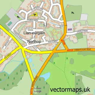
This Rhydymwyn street map is a detailed vector street map covering a 750m x 750m area. Select a larger area to create and download your own vector street map of Rhydymwyn.
The 750-metre map sample for Rhydymwyn covers 162 mapped buildings and approximately 9.8 km of road detail, of which 9 named roads are named. The immediate area includes 2 MOT stations within 2 miles. The wider area around Rhydymwyn features 2 tourism points of interest and 1 campsite within 2 miles. To create a larger or custom map of Rhydymwyn, the map builder lets you define your own coverage area and download editable SVG, PDF and PNG files.
Create a larger editable map of Rhydymwyn
Choose any area you need and generate a high-quality vector map instantly. Perfect for print, planning, design, business and personal use.

This Rhydymwyn street map in Clwyd is available as downloadable SVG, PDF and PNG map files, or as a printed map for planning, business, display, education, local information and design work. You can also create a larger custom map area using the map selector.
What this Rhydymwyn map sample shows
Rhydymwyn lies within Cilcain Community parish, part of Cilcain ward in the Sir Y Fflint - Flintshire local authority area. The postcode geography for this area includes the CH postcode area, the CH7 postcode district and the CH7 5 postcode sector. Residents fall under the Betsi Cadwaladr University Health Board for NHS services.
Local features near Rhydymwyn
Within 2 milesAmenities and services in and around Rhydymwyn.
Administrative and postcode information for Rhydymwyn
The local authority covering Rhydymwyn is Sir Y Fflint - Flintshire, within the county of Clwyd. The settlement lies within Cilcain ward and Cilcain Community civil parish. The CH7 postcode district and CH7 5 postcode sector serve the immediate area. NHS provision in the area is delivered through Betsi Cadwaladr University Health Board.
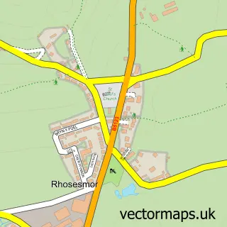
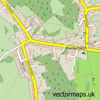
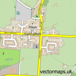
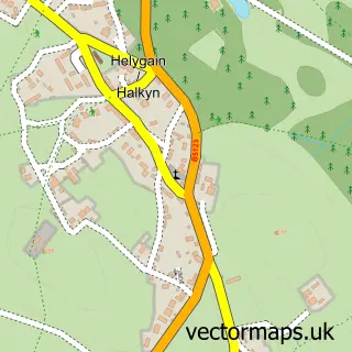
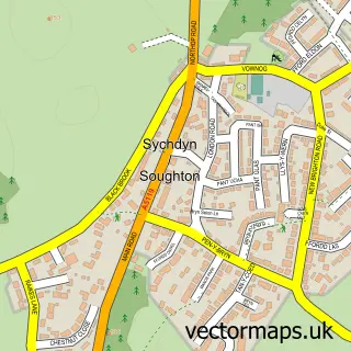
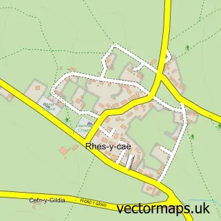
Nearby street map samples around Rhydymwyn

More street maps in Clwyd
750 metre map area coverage
Boundary, postcode and point of interest information for the 750m x 750m rectangle centred on this sample map.
Boundaries containing map centre
Constituency: Clwyd East Co Const
District: Sir y Fflint - Flintshire
Icb: Betsi Cadwaladr University
Parish: Cilcain Community
Police Force: north wales
Postcode District: CH7
Postcode Sector: CH7 5
Nearby boundaries intersecting sample
Parish: Gwernaffield with Pantymwyn Community, Halkyn Community
Postcode coverage
POI category counts
Community Services Non Profits: 2
Post Office: 2
Advertising Agency: 1
Building Supply Store: 1
Car Rental Agency: 1
Charity Organization: 1
Dog Trainer: 1
Gas Station: 1
Hospital: 1
Indian Restaurant: 1
Sample points of interest
- Donna Finegan Graphic Designer
- Ad's the Lad
- Mold Car Hire
- North East Wales Wildlife
- Friends of Rhydymwyn Valley
- Rhydymwyn Valley History Society
- Pat and Colin Werner Dog Training School
- Texaco
- Coed Du Hall
- Indian Lounge
- FBSABC Motorcycle Training
- Rhydymwyn
Create a larger editable map of Rhydymwyn
This sample shows only a 750 metre area. To create a larger map of Rhydymwyn, use our map builder to choose your own coverage area, add titles and download editable SVG, PDF and PNG files.
Create a custom map of Rhydymwyn