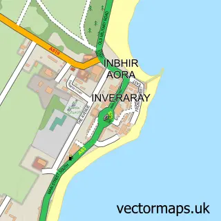
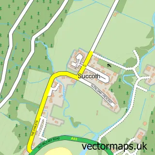
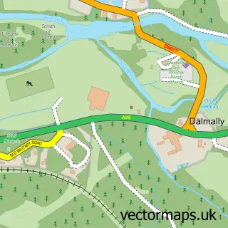
This Cairndow street map is a detailed vector street map covering a 750m x 750m area. Select a larger area to create and download your own vector street map of Cairndow.
The 750-metre map sample for Cairndow covers 26 mapped buildings and approximately 7.8 km of road detail, of which 2 named roads are named. The immediate area includes 1 pub. The wider area around Cairndow features 1 tourism point of interest, 1 food and drink venue and 1 hotel. To create a larger or custom map of Cairndow, the map builder lets you define your own coverage area and download editable SVG, PDF and PNG files.
Create a larger editable map of Cairndow
Choose any area you need and generate a high-quality vector map instantly. Perfect for print, planning, design, business and personal use.

This Cairndow street map in Argyll and Bute is available as downloadable SVG, PDF and PNG map files, or as a printed map for planning, business, display, education, local information and design work. You can also create a larger custom map area using the map selector.
What this Cairndow map sample shows
Cairndow lies within Argyll And Bute parish, part of Cowal ward in the Argyll And Bute local authority area. Residents fall under the Highland for NHS services.
Local features near Cairndow
Within 2 milesAmenities and services in and around Cairndow.
Administrative and postcode information for Cairndow
The local authority covering Cairndow is Argyll And Bute, within the county of Argyll And Bute. The settlement lies within Cowal ward and Argyll And Bute civil parish. NHS provision in the area is delivered through Highland.
Nearby street map samples around Cairndow

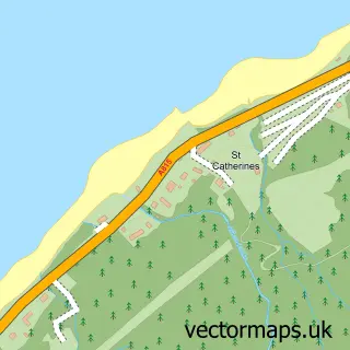
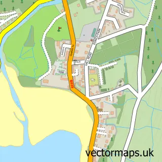
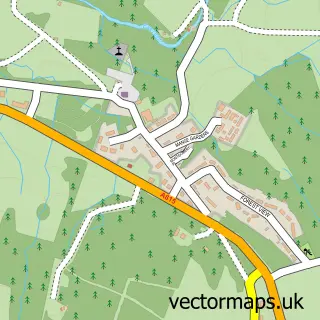
More street maps in Argyll and Bute
750 metre map area coverage
Boundary, postcode and point of interest information for the 750m x 750m rectangle centred on this sample map.
Boundaries containing map centre
Constituency: Argyll, Bute and South Lochaber Co Const
District: Argyll and Bute
Icb: Highland
Postcode District: PA26
Postcode Sector: PA26 8
Ward: Cowal Ward
Nearby boundaries intersecting sample
No additional intersecting boundaries found.
Postcode coverage
POI category counts
Agriculture: 1
Business Manufacturing And Supply: 1
Catholic Church: 1
Church Cathedral: 1
Community Services Non Profits: 1
Contractor: 1
Hotel: 1
Landmark And Historical Building: 1
Masonry Concrete: 1
Pub: 1
Sample points of interest
- Lighthouse of Scotland
- The Scottish Salmon Company
- Lochgoilhead and Kilmorich
- Kilmorich Church
- Cairndow Village Hall
- R. K. Joinery
- Cairndow Stagecoach Inn
- Ardkinglas House
- Bonnar Sand & Gravel Co
- Stagecoach Inn
- Cairndow Clay Target Club
Create a larger editable map of Cairndow
This sample shows only a 750 metre area. To create a larger map of Cairndow, use our map builder to choose your own coverage area, add titles and download editable SVG, PDF and PNG files.
Create a custom map of Cairndow