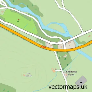
This Carbost street map is a detailed vector street map covering a 750m x 750m area. Select a larger area to create and download your own vector street map of Carbost.
The 750-metre map sample for Carbost covers 45 mapped buildings and approximately 7.3 km of road detail, of which 2 named roads are named. The immediate area includes 1 GP surgery within 2 miles and 1 pub. The wider area around Carbost features 2 tourism points of interest, 3 food and drink venues and 2 hotels. To create a larger or custom map of Carbost, the map builder lets you define your own coverage area and download editable SVG, PDF and PNG files.
Create a larger editable map of Carbost
Choose any area you need and generate a high-quality vector map instantly. Perfect for print, planning, design, business and personal use.

This Carbost street map in Ross and Cromarty is available as downloadable SVG, PDF and PNG map files, or as a printed map for planning, business, display, education, local information and design work. You can also create a larger custom map area using the map selector.
What this Carbost map sample shows
Carbost lies within Highland parish, part of Eilean A Cheo ward in the Highland local authority area. The postcode geography for this area includes the IV postcode area, the IV47 postcode district and the IV47 8 postcode sector. Residents fall under the Highland for NHS services.
Local features near Carbost
Within 2 milesAmenities and services in and around Carbost.
Administrative and postcode information for Carbost
Carbost lies within Highland parish, part of Eilean A Cheo ward in the Highland local authority area. The postcode geography for this area includes the IV postcode area, the IV47 postcode district and the IV47 8 postcode sector. Residents fall under the Highland for NHS services.
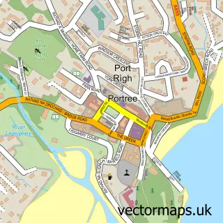
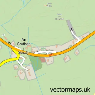
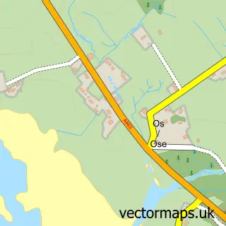
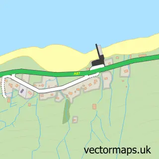
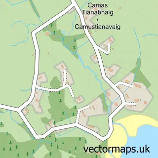
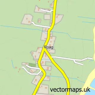
Nearby street map samples around Carbost

More street maps in Ross and Cromarty
750 metre map area coverage
Boundary, postcode and point of interest information for the 750m x 750m rectangle centred on this sample map.
Boundaries containing map centre
Constituency: Inverness, Skye and West Ross-shire Co Const
District: Highland
Icb: Highland
Postcode District: IV47
Postcode Sector: IV47 8
Ward: Eilean a' Cheo Ward
Nearby boundaries intersecting sample
No additional intersecting boundaries found.
Postcode coverage
POI category counts
Bed And Breakfast: 2
Coffee Shop: 2
Distillery: 2
Hotel: 2
Landmark And Historical Building: 2
Seafood Restaurant: 2
Beer Wine And Spirits: 1
Community Services Non Profits: 1
Elementary School: 1
Holiday Rental Home: 1
Sample points of interest
- The Passing Place-Skye
- Tigh na Bruach
- Talisker Distillery
- CAORA Coffee
- Caora Dhubh Coffee Company
- Carbost Community Shop
- Isle of Skye Talisker Distillery
- Talisker Distillery
- Carbost Primary School
- Carbost Holiday Apartments
- Calath
- Tigh na Talisker
Create a larger editable map of Carbost
This sample shows only a 750 metre area. To create a larger map of Carbost, use our map builder to choose your own coverage area, add titles and download editable SVG, PDF and PNG files.
Create a custom map of Carbost