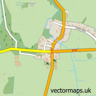
This Castle Douglas street map is a detailed vector street map covering a 750m x 750m area. Select a larger area to create and download your own vector street map of Castle Douglas.
The 750-metre map sample for Castle Douglas covers 527 mapped buildings and approximately 19.5 km of road detail, of which 31 named roads are named. The immediate area includes 2 GP surgeries within 2 miles, 1 pub and 2 MOT stations, with 4 within 2 miles. The wider area around Castle Douglas features 2 tourism points of interest, 13 food and drink venues and 14 hotels. To create a larger or custom map of Castle Douglas, the map builder lets you define your own coverage area and download editable SVG, PDF and PNG files.
Create a larger editable map of Castle Douglas
Choose any area you need and generate a high-quality vector map instantly. Perfect for print, planning, design, business and personal use.

This Castle Douglas street map in The Stewartry of Kirkcudbright is available as downloadable SVG, PDF and PNG map files, or as a printed map for planning, business, display, education, local information and design work. You can also create a larger custom map area using the map selector.
What this Castle Douglas map sample shows
Castle Douglas lies within Dumfries And Galloway parish, part of Castle Douglas And Crocketford ward in the Dumfries And Galloway local authority area. The postcode geography for this area includes the DG postcode area, the DG7 postcode district and the DG7 1 postcode sector. Residents fall under the Dumfries And Galloway for NHS services.
Local features near Castle Douglas
Within 2 milesAmenities and services in and around Castle Douglas.
Administrative and postcode information for Castle Douglas
The local authority covering Castle Douglas is Dumfries And Galloway, within the county of The Stewartry Of Kirkcudbright. The settlement lies within Castle Douglas And Crocketford ward and Dumfries And Galloway civil parish. The DG7 postcode district and DG7 1 postcode sector serve the immediate area. NHS provision in the area is delivered through Dumfries And Galloway.
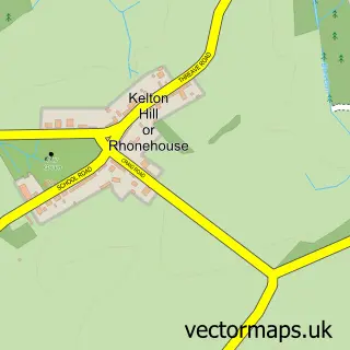
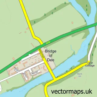
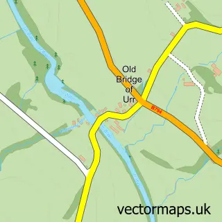
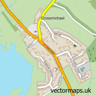
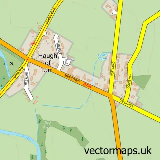
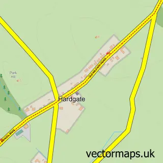
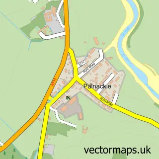
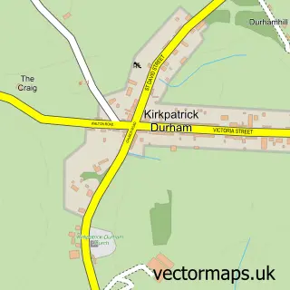
Nearby street map samples around Castle Douglas

More street maps in The Stewartry of Kirkcudbright
750 metre map area coverage
Boundary, postcode and point of interest information for the 750m x 750m rectangle centred on this sample map.
Boundaries containing map centre
Constituency: Dumfries and Galloway Co Const
District: Dumfries and Galloway
Icb: Dumfries and Galloway
Postcode District: DG7
Postcode Sector: DG7 1
Ward: Castle Douglas and Crocketford Ward
Nearby boundaries intersecting sample
No additional intersecting boundaries found.
Postcode coverage
POI category counts
Hotel: 14
Flowers And Gifts Shop: 9
Art Gallery: 7
Arts And Crafts: 6
Cafe: 6
Professional Services: 6
Beauty Salon: 5
Community Services Non Profits: 5
Antique Store: 4
Bakery: 4
Sample points of interest
- Alcohol and Drugs Support South West Scotland
- Bell Ogilvy
- Wheeler Groves
- British Red Cross
- Burford Antiques
- Country House Interiors
- Hazel's
- Simon Winstanley Architects
- Clience Studio -Angela Lawrence
- Moonbroch Arts
- PA Pop Up - Castle Douglas
- PA Pop Up - Castle Douglas
Create a larger editable map of Castle Douglas
This sample shows only a 750 metre area. To create a larger map of Castle Douglas, use our map builder to choose your own coverage area, add titles and download editable SVG, PDF and PNG files.
Create a custom map of Castle Douglas