Vector Maps logo
Home Why it works Popular maps Districts Samples Customizer Create Your Map
VectorMaps.uk
Home Popular maps Districts Samples Customizer Create Your Map Privacy Disclaimer
Home / UK Maps / The Stewartry of Kirkcudbright / Kirkpatrick Durham Map

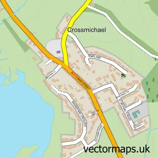
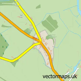
This Kirkpatrick Durham street map is a detailed vector street map covering a 750m x 750m area. Select a larger area to create and download your own vector street map of Kirkpatrick Durham.

Kirkpatrick Durham is a village in The Stewartry Of Kirkcudbright, in the South Scotland of Scotland. Historically, the area formed part of Kirkcudbrightshire. The settlement falls within the Dumfries And Galloway parliamentary constituency. It is served

The 750-metre map sample for Kirkpatrick Durham covers 102 mapped buildings and approximately 9.8 km of road detail, of which 4 named roads are named. To create a larger or custom map of Kirkpatrick Durham, the map builder lets you define your own coverage area and download editable SVG, PDF and PNG files.

102Buildings
9.8 kmRoads
4Named roads
0Residents within 2 miles
Create your own

Create a larger editable map of Kirkpatrick Durham

Choose any area you need and generate a high-quality vector map instantly. Perfect for print, planning, design, business and personal use.

Choose any location
Editable SVG files
Any size up to A0
PDF, PNG & more
Instant download
High quality guaranteed
Create My Custom Map
Secure, private & no credit card required
Kirkpatrick Durham Vector Street Map
750m Sample
Kirkpatrick Durham vector street map sample showing roads, buildings and local features in a 750 metre preview area
Buy Kirkpatrick Durham Map Print from £12.95 Buy Kirkpatrick Durham Digital Map from £6

This Kirkpatrick Durham street map in The Stewartry of Kirkcudbright is available as downloadable SVG, PDF and PNG map files, or as a printed map for planning, business, display, education, local information and design work. You can also create a larger custom map area using the map selector.

What this Kirkpatrick Durham map sample shows

Kirkpatrick Durham lies within Dumfries And Galloway parish, part of Castle Douglas And Crocketford ward in the Dumfries And Galloway local authority area. The postcode geography for this area includes the DG postcode area, the DG7 postcode district and the DG7 3 postcode sector. Residents fall under the Dumfries And Galloway for NHS services.

Local features near Kirkpatrick Durham

Within 2 miles

Amenities and services in and around Kirkpatrick Durham.

1 Healthcare POIs

Counts are approximate and based on publicly available data.

Administrative and postcode information for Kirkpatrick Durham

Kirkpatrick Durham lies within Dumfries And Galloway parish, part of Castle Douglas And Crocketford ward in the Dumfries And Galloway local authority area. The postcode geography for this area includes the DG postcode area, the DG7 postcode district and the DG7 3 postcode sector. Residents fall under the Dumfries And Galloway for NHS services.

Parish DUMFRIES AND GALLOWAY
Ward Castle Douglas and Crocketford
District / local authority Dumfries and Galloway
County The Stewartry of Kirkcudbright
Historic county Kirkcudbrightshire
Postcode district DG7
Postcode sector DG7 3
Parliamentary constituency Dumfries and Galloway
Region South Scotland
Country Scotland

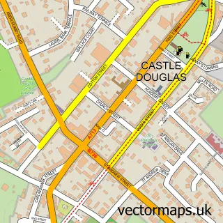
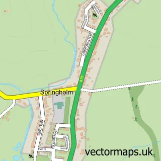
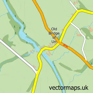
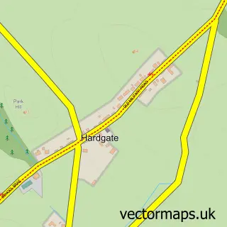
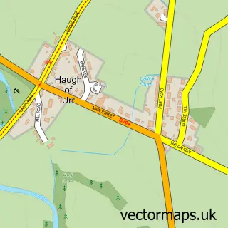
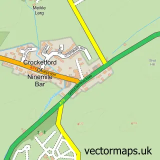
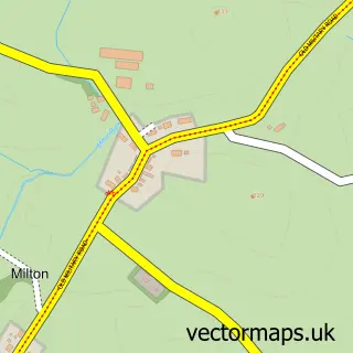
Nearby street map samples around Kirkpatrick Durham

Street map sample of Castle Douglas, The Stewartry of Kirkcudbright Castle Douglas Town - The Stewartry of Kirkcudbright - 5.1 miles Street map sample of Carlisle, Cumbria Carlisle City - Cumbria - 39.0 miles Street map sample of Springholm, The Stewartry of Kirkcudbright Springholm Village - The Stewartry of Kirkcudbright - 1.2 miles Street map sample of Old Bridge of Urr, The Stewartry of Kirkcudbright Old Bridge of Urr Village - The Stewartry of Kirkcudbright - 1.6 miles Street map sample of Hardgate, The Stewartry of Kirkcudbright Hardgate Village - The Stewartry of Kirkcudbright - 2.6 miles Street map sample of Haugh of Urr, The Stewartry of Kirkcudbright Haugh of Urr Village - The Stewartry of Kirkcudbright - 2.8 miles Street map sample of Crocketford, The Stewartry of Kirkcudbright Crocketford Village - The Stewartry of Kirkcudbright - 3.2 miles Street map sample of Milton, The Stewartry of Kirkcudbright Milton Village - The Stewartry of Kirkcudbright - 3.9 miles Street map sample of Crossmichael, The Stewartry of Kirkcudbright Crossmichael Village - The Stewartry of Kirkcudbright - 4.1 miles Street map sample of Corsock, The Stewartry of Kirkcudbright Corsock Village - The Stewartry of Kirkcudbright - 4.3 miles

More street maps in The Stewartry of Kirkcudbright

Street map sample of Springholm, The Stewartry of Kirkcudbright Springholm Village - 1.2 miles Street map sample of Old Bridge of Urr, The Stewartry of Kirkcudbright Old Bridge of Urr Village - 1.6 miles Street map sample of Hardgate, The Stewartry of Kirkcudbright Hardgate Village - 2.6 miles Street map sample of Haugh of Urr, The Stewartry of Kirkcudbright Haugh of Urr Village - 2.8 miles Street map sample of Crocketford, The Stewartry of Kirkcudbright Crocketford Village - 3.2 miles

750 metre map area coverage

Boundary, postcode and point of interest information for the 750m x 750m rectangle centred on this sample map.

Boundaries containing map centre

Constituency: Dumfries and Galloway Co Const

District: Dumfries and Galloway

Icb: Dumfries and Galloway

Postcode District: DG7

Postcode Sector: DG7 3

Ward: Castle Douglas and Crocketford Ward

Nearby boundaries intersecting sample

No additional intersecting boundaries found.

Postcode coverage

DG7 DG7 3

POI category counts

Arts And Crafts: 1

Bed And Breakfast: 1

Catholic Church: 1

Dance School: 1

Doctor: 1

It Service And Computer Repair: 1

Sample points of interest

  • We Make Pots Arts And Crafts
  • Chipperkyle Bed And Breakfast
  • Kirkpatrick Durham Church Catholic Church
  • Catriona Clark School of Highland Dance Dance School
  • Paris Clinic Doctor
  • MacPhee I.T. It Service And Computer Repair

Create a larger editable map of Kirkpatrick Durham

This sample shows only a 750 metre area. To create a larger map of Kirkpatrick Durham, use our map builder to choose your own coverage area, add titles and download editable SVG, PDF and PNG files.

Create a custom map of Kirkpatrick Durham

Phone 01751 473136 | Copyright Vectormaps.uk 2026

Samples Customizer Privacy Disclaimer
Kirkpatrick Durham Vector Street Map
Kirkpatrick Durham enlarged street map sample showing a 750 metre preview area