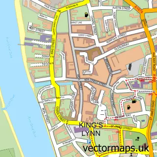
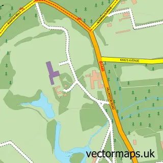
This Castle Rising street map is a detailed vector street map covering a 750m x 750m area. Select a larger area to create and download your own vector street map of Castle Rising.
The 750-metre map sample for Castle Rising covers 123 mapped buildings and approximately 9.2 km of road detail, of which 7 named roads are named. The immediate area includes 1 GP surgery within 2 miles, 2 pubs and 1 MOT station within 2 miles. The wider area around Castle Rising features 2 food and drink venues and 1 campsite within 2 miles. To create a larger or custom map of Castle Rising, the map builder lets you define your own coverage area and download editable SVG, PDF and PNG files.
Create a larger editable map of Castle Rising
Choose any area you need and generate a high-quality vector map instantly. Perfect for print, planning, design, business and personal use.

This Castle Rising street map in Norfolk is available as downloadable SVG, PDF and PNG map files, or as a printed map for planning, business, display, education, local information and design work. You can also create a larger custom map area using the map selector.
What this Castle Rising map sample shows
Castle Rising lies within Castle Rising Cp parish, part of The Woottons ward in the King's Lynn And West Norfolk District (B) local authority area. The postcode geography for this area includes the PE postcode area, the PE31 postcode district and the PE31 6 postcode sector. Residents fall under the Nhs Norfolk And Waveney Integrated Care Board for NHS services.
Local features near Castle Rising
Within 2 milesAmenities and services in and around Castle Rising.
Administrative and postcode information for Castle Rising
Castle Rising lies within Castle Rising Cp parish, part of The Woottons ward in the King's Lynn And West Norfolk District (B) local authority area. The postcode geography for this area includes the PE postcode area, the PE31 postcode district and the PE31 6 postcode sector. Residents fall under the Nhs Norfolk And Waveney Integrated Care Board for NHS services.
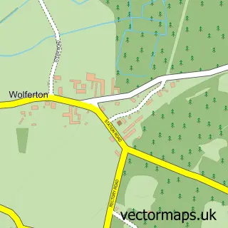
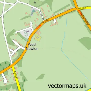
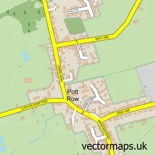
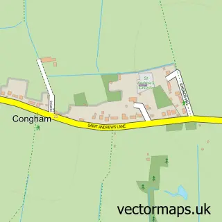
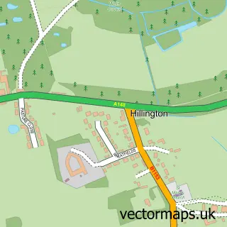
Nearby street map samples around Castle Rising

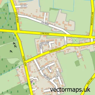
More street maps in Norfolk
750 metre map area coverage
Boundary, postcode and point of interest information for the 750m x 750m rectangle centred on this sample map.
Boundaries containing map centre
Constituency: North West Norfolk Co Const
County: Norfolk County
District: King's Lynn and West Norfolk District (B)
Icb: NHS Norfolk and Waveney ICB
Parish: Castle Rising CP
Police Force: norfolk
Postcode District: PE31
Postcode Sector: PE31 6
Ward: The Woottons Ward
Nearby boundaries intersecting sample
No additional intersecting boundaries found.
Postcode coverage
POI category counts
Dentist: 3
Church Cathedral: 2
Hair Salon: 2
Pub: 2
Tea Room: 2
Anglican Church: 1
Art Gallery: 1
Beauty And Spa: 1
Beauty Salon: 1
Bridal Shop: 1
Sample points of interest
- Castle Rising: St Lawrence
- West Norfolk Arts Centre
- Norfolk Scalp Craft
- Contours Beauty Castle rising
- Unique Bride and Hats
- Castle Rising Parish Church
- St Lawrence Church, Castle Rising
- Allez Chic Fashion Boutique
- Castle Rising Dental Suite Ltd
- Castle Rising Dental Surgery
- W K Dryden
- Bella Bea Hair Studio
Create a larger editable map of Castle Rising
This sample shows only a 750 metre area. To create a larger map of Castle Rising, use our map builder to choose your own coverage area, add titles and download editable SVG, PDF and PNG files.
Create a custom map of Castle Rising